Labor Day weekend has arrived – the unofficial end of summer, and at least one or two days will feel more like early fall.
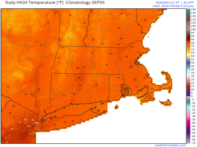
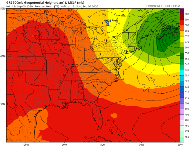
A cold front pushes through the region this evening, with any lingering showers ending, followed by some clear overnight. High pressure then builds in at the surface, but an upper-level low will take it’s time crossing the Northeast. The result will be morning sun, afternoon clouds, and a few pop-up showers on Friday, perhaps a few more on Saturday. A storm system south of Nova Scotia may send a few more clouds in late Saturday and Saturday night, but any rainfall should stay well to our east. With the upper low overhead, temperatures will be relatively cool on Saturday and Sunday, but will start to moderate for Monday with drier air as the upper-low slides off to the east.
Thursday night: Showers end in the evening, some late night clearing. Low 60-67.
Friday: Becoming partly to mostly sunny in the morning, clouds return in the afternoon with a passing shower possible. High 77-84.
Friday night: Mostly clear. Low 58-65.
Saturday: Partly sunny, a few showers or a thunderstorm in the afternoon. High 69-76.
Saturday night: Partly to mostly cloudy. Low 52-59.
Sunday: A mix of sun and clouds, breezy. High 66-73.
Sunday night: Clear skies. Low 51-58.
Labor Day: Sunshine and a few afternoon clouds. High 71-78.

