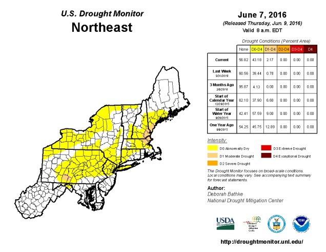
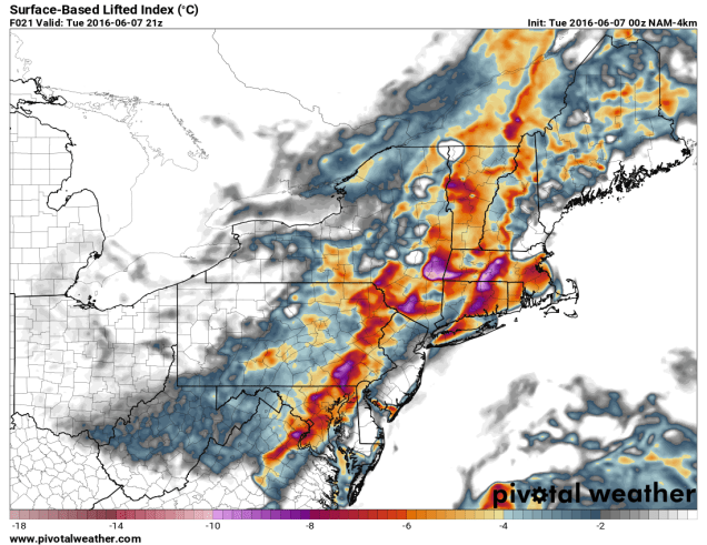
Here we are, approaching the Fourth of July, and we still haven’t had much heat and humidity. Will that change over the next week? Yes and no. We’ll have a little bit more humidity over the next few days as a cold front starts to approach from the west. The front will take its time moving through, so we can expect showers and a few thunderstorms for Tuesday and possibly into Wednesday. Neither day will be a washout, but we really need the rain. The lack of rainfall across New England recently has led to drought conditions expanding across the area.

Once the front finally moves through on Wednesday, high pressure will build in for Thursday with drier weather, but temperatures will warm back up into the 80s. Another front may bring in some showers late Friday, but again, the day shouldn’t be a washout. After that, high pressure builds back in for the holiday weekend, with sunshine and seasonably mild conditions.
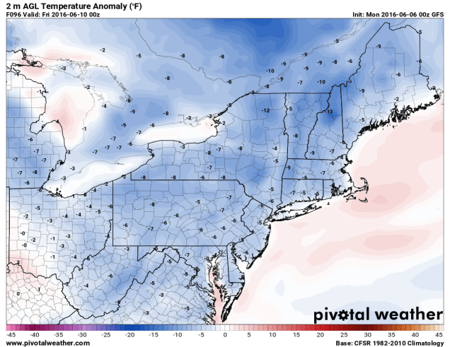
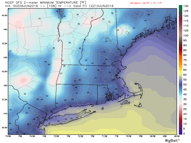
What about the heat? Any of that coming? The answer is “maybe”. The latest outlook for next week from the National Weather Service is calling for near to below normal temperatures.
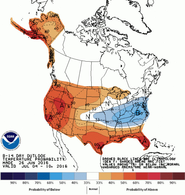
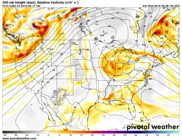
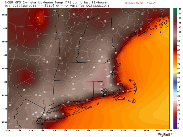
However, the most recent run of the GFS model is painting a different picture, especially for the end of that period. While we rarely put much stock in most computer models beyond 5-7 days at most, we were rather shocked at the picture the GFS is painting for the following weekend. If you take it literally (which is NEVER a good idea), the model is predicting record heat for parts of the region. While we don’t like to forecast out that far, temperatures closer to normal (upper 70s to lower 80s), seem more likely to us than what the GFS is trying to sell.
Monday: A sunny start, then clouds thicken up later in the day. High 82-89.
Monday night: Cloudy with showers developing towards morning, especially north and west of the Boston.Low 61-68.
Tuesday: Mostly cloudy with occasional showers and a few thunderstorms, mainly north and west of Boston once again. High 76-83.
Tuesday night: Cloudy with scattered showers, possibly a few thunderstorms. Low 60-67.
Wednesday: More clouds than sunshine with additional showers expected. High 75-82.
Thursday: Sunshine and some afternoon clouds. High 81-88.
Friday: A mix of sun and clouds, a few late-day showers are possible. High 80-87.
Saturday: Intervals of clouds and sunshine. High 80-87.
Sunday: Partly to mostly sunny. High 78-85.
Independence Day: Sunshine and a few clouds. High 78-85.