As we close the book on Meteorological Summer and welcome in Meteorological Autumn, we’ll have some summer-like weather for at least part of the week.
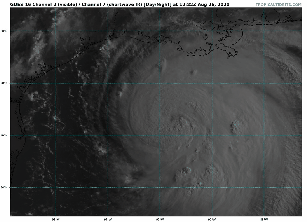
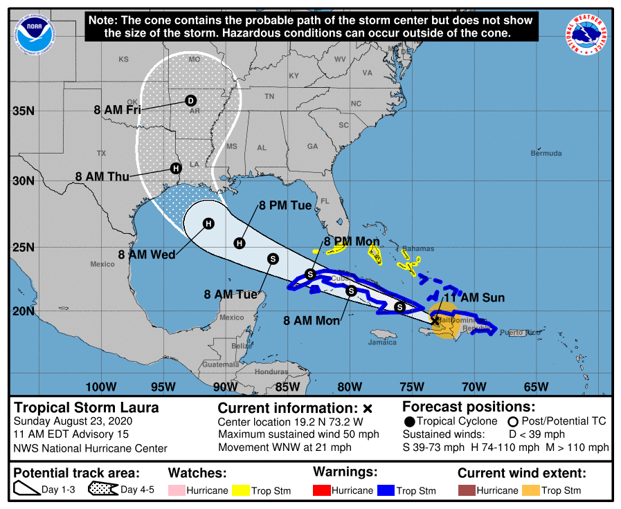
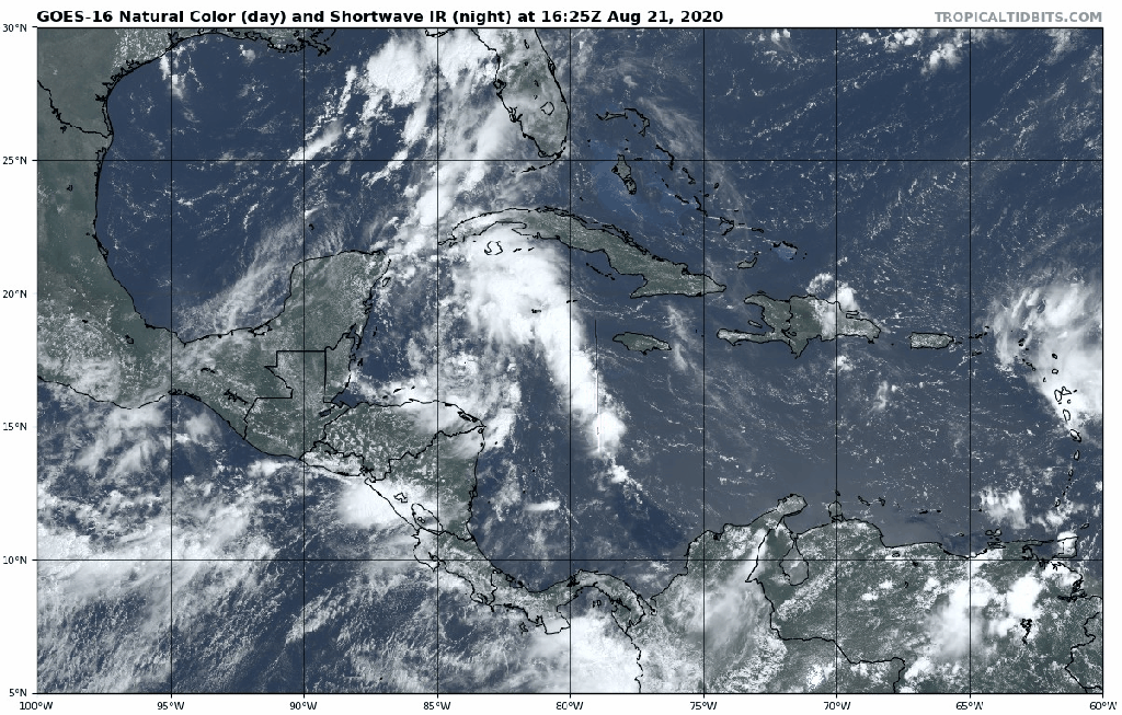
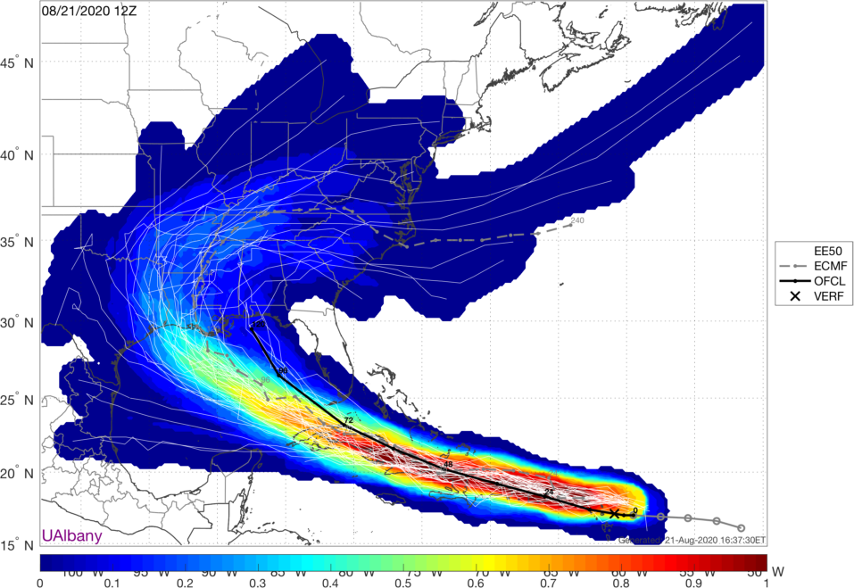
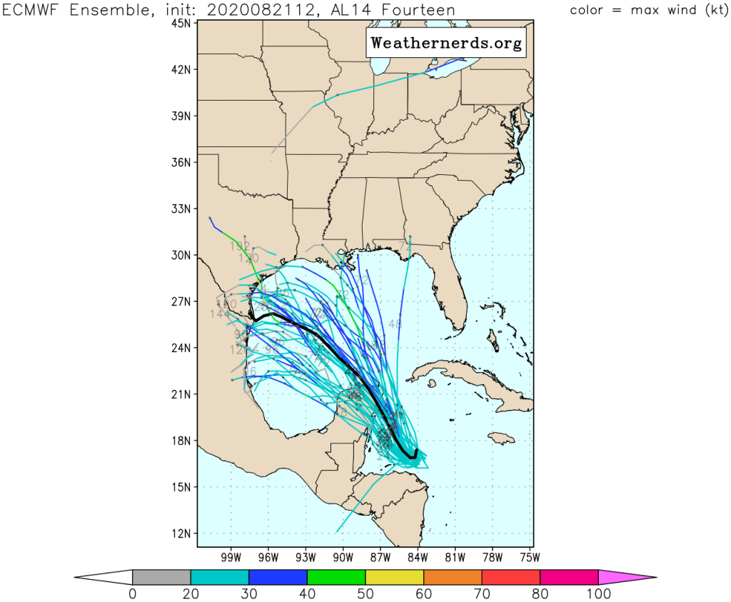
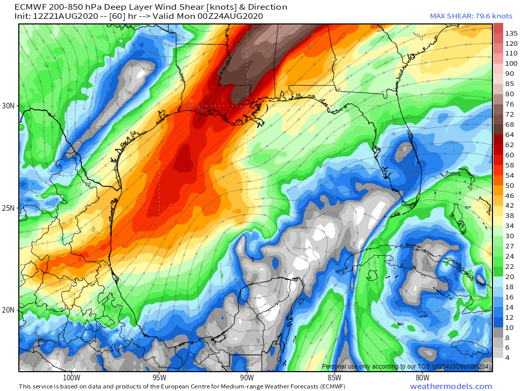
We start the week off with high pressure in control, providing us with a dry but cool Monday. It won’t be nearly as breezy as Sunday was as the high moves right across the region. Tuesday and Wednesday will both feature some clouds, with a chance for a few showers as a pair of upper-level disturbances move through, but we’re not expecting widespread rainfall. At the same time, low pressure will pass well south of New England. Since it will almost certainly contain at least 1 thunderstorm, and the system itself will probably be rotating, the National Hurricane Center will probably name it. We shouldn’t have anything to worry about here, though it may result in some increasing wave action along the South Coast towards midweek.
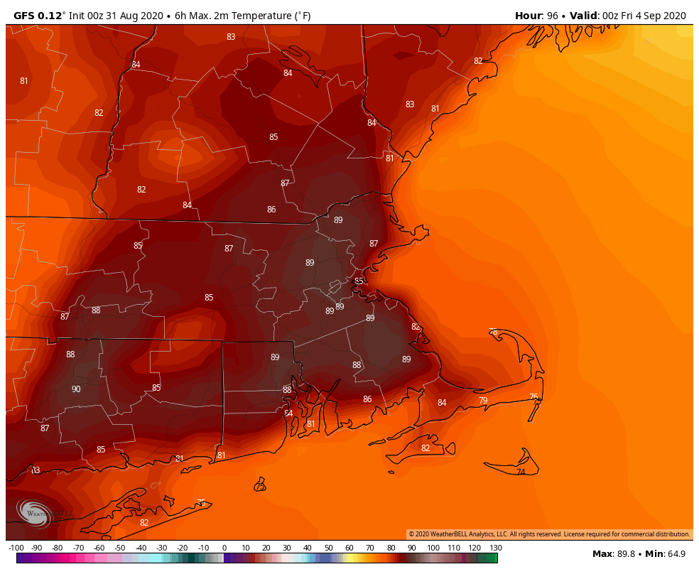
By Thursday, things start to change. We’ll turn warmer and more humid thanks to a southwest flow ahead of a cold front. Some places could make a run at 90, which is actually fairly normal for early September. With the warm and humid air comes a better chance for showers and thunderstorms. The cold front itself moves through early Friday, with drier air settling in behind it, though it will likely remain warm.
High pressure returns on Saturday with cooler and dry conditions to kick off Labor Day Weekend. As the high slides offshore we’ll start to warm up again on Sunday. As for Labor Day itself, it looks like another cold front will approach, with some showers and thunderstorms possible, but we’ll fine-tine that outlook later this week.
Monday: Sunshine and some afternoon high clouds. High 69-76.
Monday night: Clear to partly cloudy. Low 51-58.
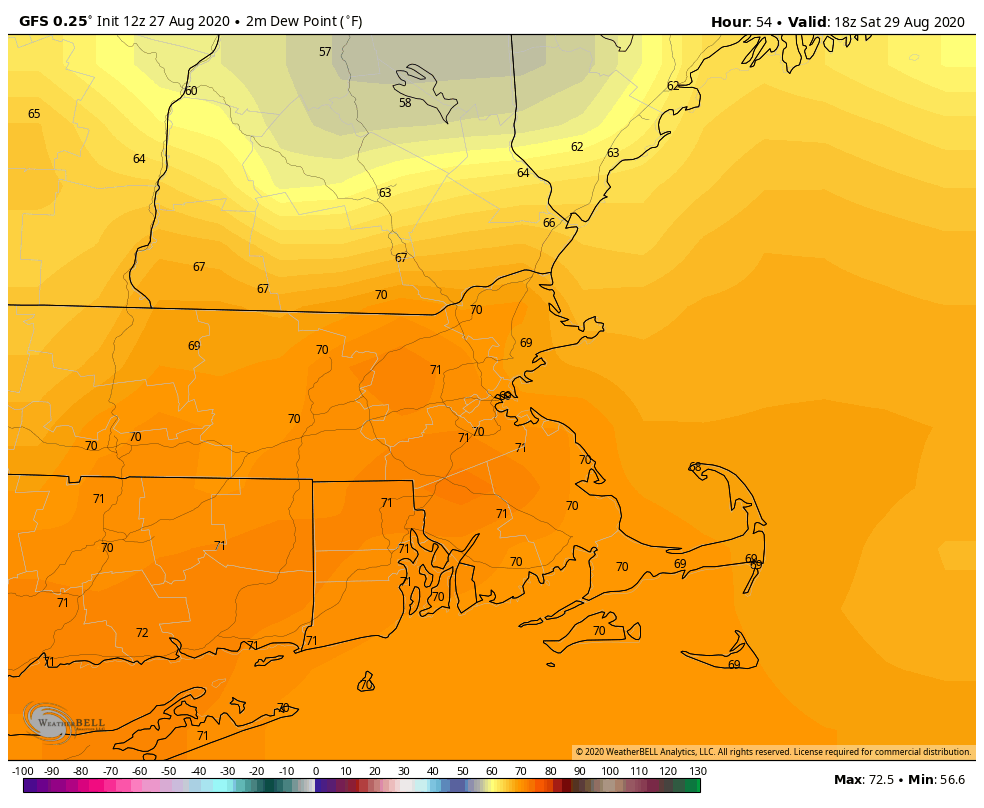
Tuesday: A mix of sun and clouds, slight chance for a few afternoon showers. High 70-77.
Tuesday night: Partly cloudy. Low 57-64.
Wednesday: Intervals of clouds and sun, some showers may develop during the afternoon. High 72-79.
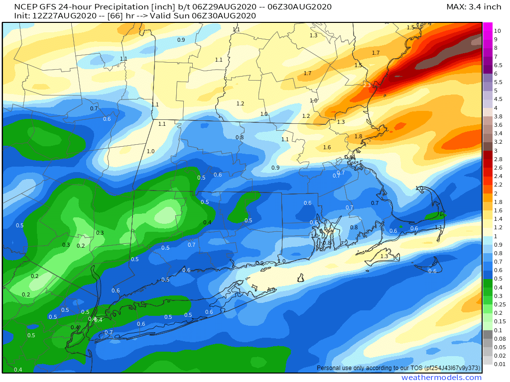
Thursday: Partly sunny, showers and thunderstorms develop during the afternoon, ending overnight. High 80-87.
Friday: A mix of sun and clouds. High 81-88.
Saturday: Plenty of sunshine. High 71-78.
Sunday: Mostly sunny. High 73-80.
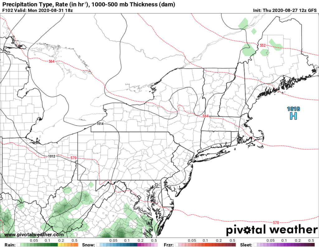
Monday: Becoming cloudy with showers and thunderstorms possible during the afternoon and evening. High 74-81.
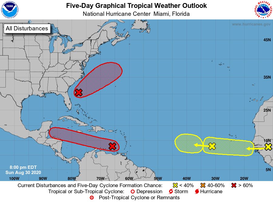
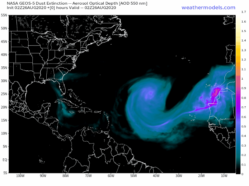
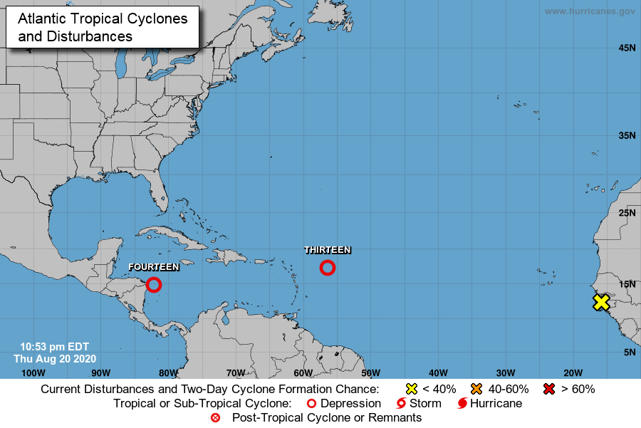
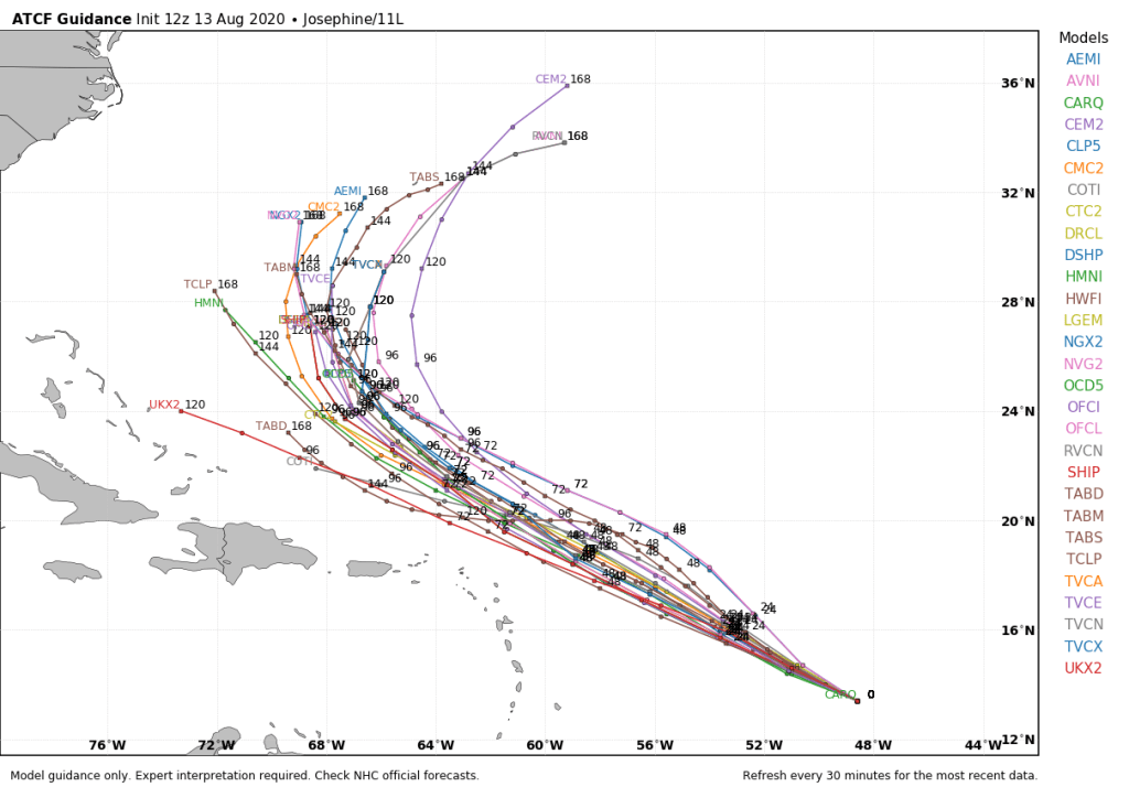
One final thought on this final day of Meteorological Summer. The weather patterns across the US are starting to change as we head into a new season. Much cooler air will invade the Rockies and the Plains States later this week and likely linger into next week. Some light snow is possible in parts of Idaho, Montana, and Wyoming, mainly at elevations above 9000 feet. Meanwhile, there are several areas in the tropics being monitored as you can see in the graphic above. In addition to the system that will pass well south of us, another system in the Caribbean could become a tropical depression and may bring some heavy rain to central America later this week. The parade of tropical waves continues to come off the African coast, and any of those could develop as they cross the Atlantic, though nothing appears imminent. So, even though we’re about the begin autumn, there are elements of both summer and winter showing up across our portion of the world.