The weekend will start off rather nice, but it’s probably not going to end that way.
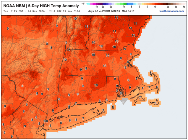
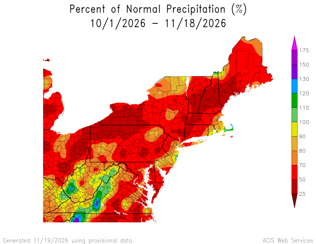
Another cool night is expected tonight with high pressure in control. A weak cold front moves through with little fanfare on Friday. We’ll still be mostly sunny and mild, but the wind will shift into the northwest behind the front. High pressure builds back in for Saturday with some additional sunshine, but it’ll be a little cooler. Clouds will start to stream in at night as low pressure starts moving up the East Coast.
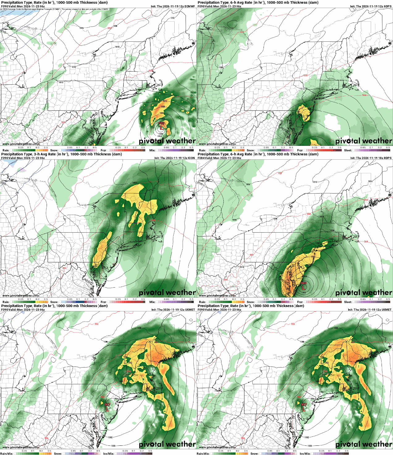
This system is currently bringing heavy rain to Florida, but as it organizes over the next 24-48 hours, it’ll be over the Gulf Stream, and it could actually develop into at least a subtropical storm, at which point it would be named Kyle. Sunday will be a cloudy day, but it looks like any rain from the storm will hold off until evening. There is still some uncertainty with the track the storm takes, which does impact the forecast a little. By the time it gets this far north it will no longer be subtropical (or tropical), just your average low pressure system. Some models bring the storm inland to our west or right over us, which would allow it to be a little milder, and a little windier, while a majority of the models keep the system offshore, the question is – how far offshore? If it’s too far offshore, then we’d only be on the fringe of the system with a little wind and rain, and how far inland it penetrates would be a question. We think it’ll be close enough for a decent amount of rain Sunday night into a good portion of Monday, with some gusty winds near the coastline. The rain should come to an end Monday afternoon, with some clearing late in the day as the system pulls away.
Thursday night: Partly cloudy. Low 34-41.
Friday: Partly to mostly sunny. High 58-65.
Friday night: Clear to partly cloudy. Low 34-41.
Saturday: Mostly sunny, high clouds start to move in from south to north during the afternoon. High 58-65.
Saturday night: Becoming partly to mostly cloudy. Low 36-43.
Sunday: Mostly cloudy, showers may move in from south to north late in the day. High 55-62.
Sunday night: Rain, possibly heavy at times. Low 46-53.
Monday: Rain tapers off and ends, some clearing possible late in the day, breezy. High 57-64.

