“Summer’s going fast, nights growing colder”
Neil Peart wrote that line (and the rest of the song) 30 years ago, but it’s appropriate right now, as we’re coming up on Labor Day weekend, the “traditional” end of summer. Of course, meteorological summer ends on Thursday, so, we really are getting closer to fall. Just for completeness, the autumnal equinox occurs at 4:02pm on September 22. Of course, we’ve had plenty of hot weather in September before, so don’t start putting away the shorts just yet.
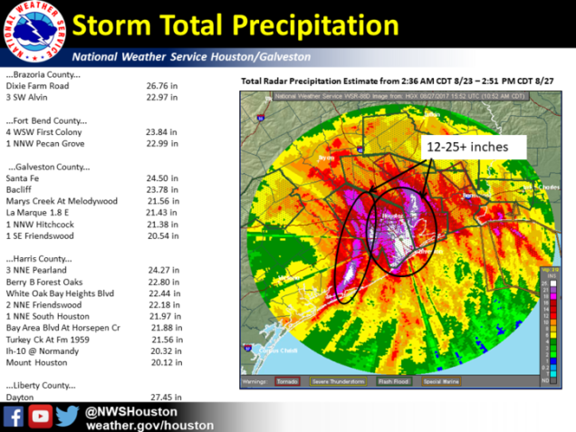
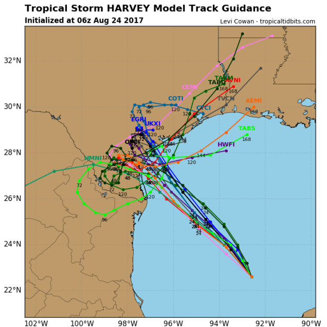
Before we get to the forecast around here, we’d like to discuss Harvey a little. In our post a few days ago, we mentioned the possibility that some locations could see 30-40 inches of rain over the span of a week as Harvey stalled across the region. Well, it looks like we underestimated that. Much of the area, especially right around Houston, has already seen 15-30 inches of rain, leading to catastrophic flooding across the region. Some of the pictures of the flooding have been just incredible. Unfortunately, with Harvey expected to move very little over the next few days, another 15-30 inches may fall across the region.

As for around here, the week will start off dry and cool, which is how the last week ended. High pressure remains in control, which will give us some sunshine for one more day. High clouds will start to stream in on Tuesday ahead of a tropical system off the East Coast (more on that in a minute). That system will pass south and east of the region Tuesday night and Wednesday as it becomes a post-tropical system. It will likely pass close enough to spread some gusty winds and maybe some showers into Cape Cod and possible southeastern Massachusetts. A cold front then swings through the region on Thursday, bringing in more showers and maybe some thunderstorms. High pressure then returns will dry and cool conditions for Friday and Saturday. Clouds start to move back in on Sunday, and unfortunately, Labor Day isn’t looking that great right now, as a storm system moving in from the Great Lakes may bring us more showers. However, it’s a week away and things can change, so don’t go cancelling any plans just yet.

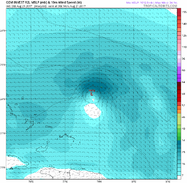
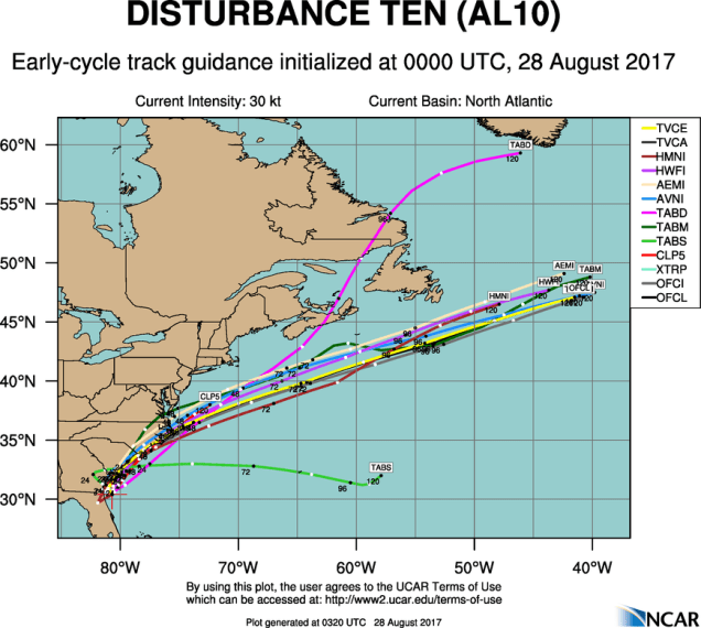
As we mentioned a moment ago, we may have a tropical system to deal with off the East Coast. As early early Monday morning, Potential Tropical Cyclone 10 was centered about 165 miles south-southwest of Charleston, South Carolina. The system doesn’t have a well-defined circulation yet, which is why it’s only a “potential” tropical cyclone. If it does get its act together, it will be named Irma. The current forecast is for that to happen while the storm starts moving northeastward. Since it will likely bring gusty winds and heavy rain to parts of the Carolinas, a Tropical Storm Watch has been issued from the South Santee River in South Carolina northward to Duck, North Carolina, including the Pamlico and Albemarle Sounds. Once it passes the Outer Banks of North Carolina, it will likely accelerate east-northeastward out into the open Atlantic while slowly strengthening, but also losing its tropical characteristics.
Monday: Sunshine and some afternoon clouds. High 70-77.
Monday night: Some high clouds may start to spread across the region. Low 52-59.
Tuesday: Sunshine filtered through high clouds to start, but clouds start to thicken up during the afternoon. High 66-73.
Tuesday night: Mostly cloudy, becoming breezy across Cape Cod. Some showers are possible, mainly across Cape Cod and southeastern Massachusetts. Low 53-60.
Wednesday: Some showers possible in the morning across Cape Cod and southeastern Massachusetts, then skies clear out in the afternoon. High 66-73.
Thursday: A sunny start, then clouding back up with showers and maybe some thunderstorms late in the day. High 77-84.
Friday: Sunshine and a few clouds. High 65-72.
Saturday: Partly to mostly sunny. High 69-76.
Sunday: Intervals of clouds and sunshine. High 76-83.
Labor Day: Mostly cloudy and breezy with a chance of showers. High 78-85.
Longer range: Aside from a system bringing in some showers towards midweek, much of next week looks dry and cool.