Some unsettled weather is on the way for the weekend, so get those umbrellas out.
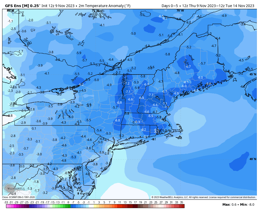
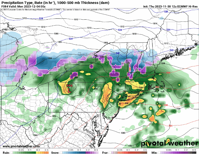
High pressure remains in control into Friday morning with dry and seasonably cool conditions. Clouds will thicken up on Friday as a weak storm system moves toward the region. A period of showers is likely late Friday afternoon and evening, but we’re not expecting any heavy rain at this point. After that, a series of weak systems will move through over the weekend, keeping the clouds in place with slightly cooler temperatures, and some episodes of rain showers. We’re not expecting them to be widespread or heavy, but they’ll be enough of a nuisance that you’ll notice them. A more potent system looks to move in for late Sunday into Monday. There is still quite a bit of uncertainty among the models as the how this storm will evolve and track, but right now, it looks like it will move across southeastern New England early Monday. This will likely result in rain, possibly heavy, for much of the region, with some gusty winds near the coast. Temperatures will be on the cool side, except near the South Coast and Cape Cod, which could be on the warm side of the storm. The area with the most uncertainty is across southern New Hampshire and the hills of central Massachusetts. At least one model is showing the potential for enough cold air for some snow or a wintry mix both at the start and at the end of the storm, but this is far from a certainty. In fact, the majority of the models do not show this scenario, but that doesn’t mean we should just discount it.
Thursday night: Partly cloudy. Low 33-40.
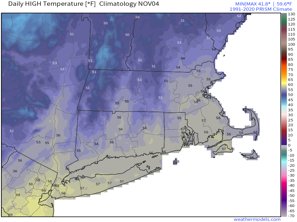
Friday: Some morning sun, then clouds return, showers develop by late afternoon. High 48-55.
Friday night: Mostly cloudy, showers ending toward midnight. Low 35-42.
Saturday: Plenty of clouds with a few showers possible. High 48-55.
Saturday night: Mostly cloudy, chance for a shower or two. Low 37-44.
Sunday: Cloudy with light rain and showers redeveloping, possibly some wintry mix from the hills of central Massachusetts into southwestern New Hampshire. High 44-51.
Sunday night: Periods of rain and showers. Low 34-41.
Monday: Cloudy with occasional showers, possibly mixed with some snow from central Massachusetts into southern New Hampshire. High 43-50.