We’ve got a little bit of everything on tap this week.
High pressure starts to build in today with drier and cooler conditions, but with an upper level disturbance moving across the Northeast we’ll still have a decent amount of cloudcover, especially during the afternoon. Another weak system moves across the region on Tuesday producing some rain or snow showers, as temperatures will remain quite cool. We’re not expecting any accumulation, as temperatures will likely be above freezing, even where there is some snow. High pressure returns for Wednesday with plenty of sunshine, but temperatures remaining on the cool side. As the high moves off to the east, winds will shift into the southwest, allowing warmer air to move in for Thursday and Friday, though it will remain cooler across the South Coast and Cape Cod, as water temperatures are still only in the middle 40s off the South Coast. For Saturday, we’re watching the potential for high pressure over eastern Canada to send another backdoor cold front today, ending our brief warmup. That front should start to lift northward again on Sunday, but how quickly it does so will determine how quickly we’ll warm back up.

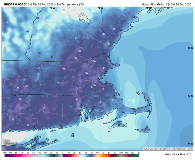
Monday: Morning sunshine, then clouds return in the afternoon, breezy. High 44-51.
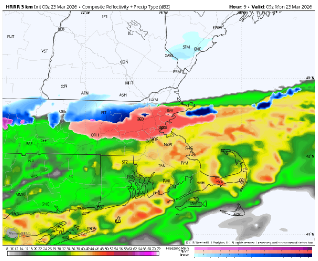
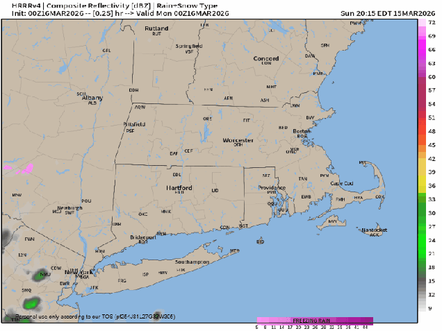
Monday night: Partly cloudy, chance for a few late-night rain or snow showers. Low 28-35.
Tuesday: Intervals of clouds and sunshine, chance for a few rain or snow showers. High 43-50.
Tuesday night: Becoming clear. Low 23-30.
Wednesday: Plenty of sunshine. High 42-49.
Wednesday night: Clear skies. Low 27-34.
Thursday: Sunshine and some afternoon clouds, breezy. High 50-57, cooler across Cape Cod and the South Coast.
Thursday night: Partly cloudy. Low 33-40.
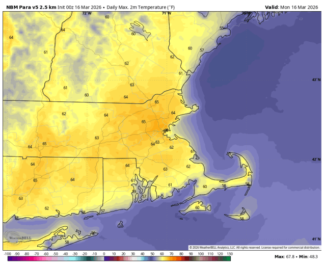
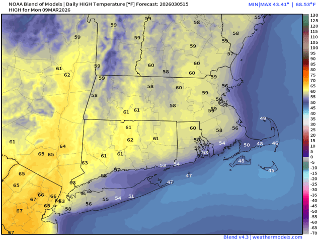
Friday: A mix of sun and clouds, milder. High 61-68, cooler across Cape Cod and the South Coast.
Saturday: Intervals of sun and clouds. High 52-59.
Sunday: Partly sunny. High 56-63.