The hype train has left the station and is barreling down the tracks at high speed. Unlike winter, when the hype is all about an impending snowstorm, this time, it’s about heat and humidity.

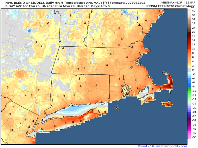
A ridge of high pressure in the upper levels of the atmosphere is going to set up shop across the eastern part of the nation later this week. This will result in very hot and humid weather for much of the eastern half of the nation, especially during the latter half of the week. Around here, it’s going to get hot, but will we get the extreme heat that many in the media are already proclaiming is a lock? We’re not quite so confident.

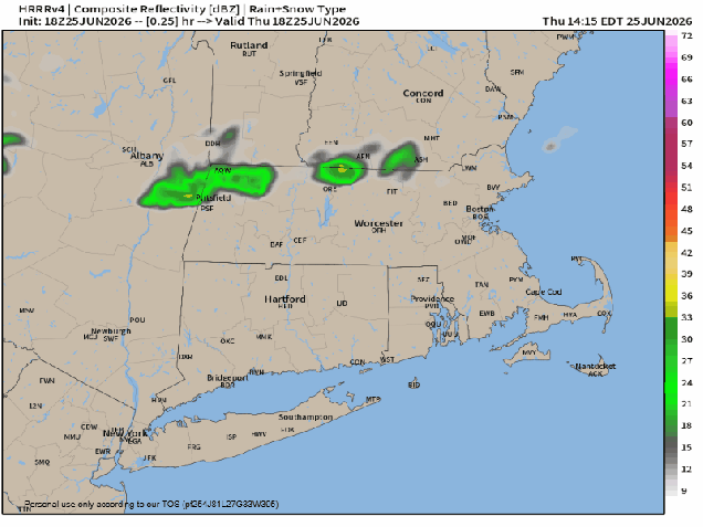
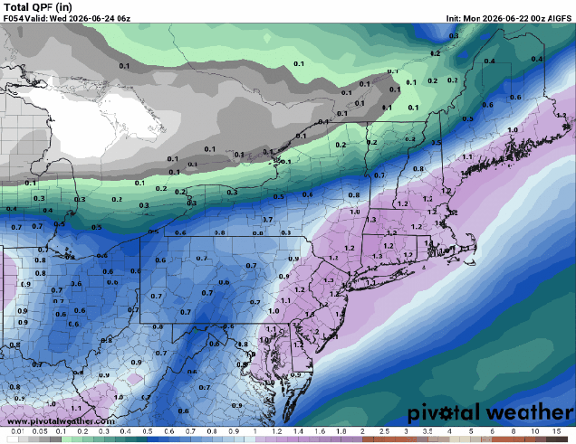
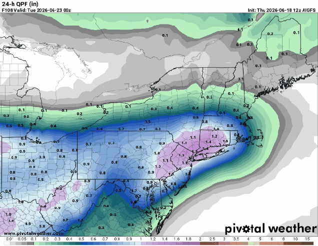
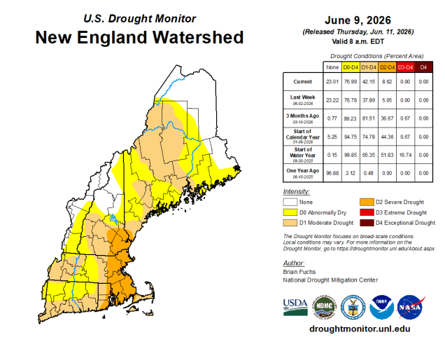
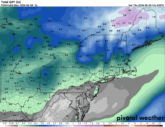
Before we get there, let’s talk about the first part of the week, which starts off with a rather nice day today with high pressure building in. We’ll have sunshine, seasonably warm temperatures, and moderate humidity levels. That high will move offshore on Tuesday, and a warm front extending from low pressure over the nation’s mid-section will approach our area. As the warm front moves in, some showers and thunderstorms are likely late in the day and into the evening. Some of these storms could be quite strong, with damaging winds and heavy downpours the main threats. We need all the rain we can get with the ongoing drought, but too much in a short-period results in areas of flooding.

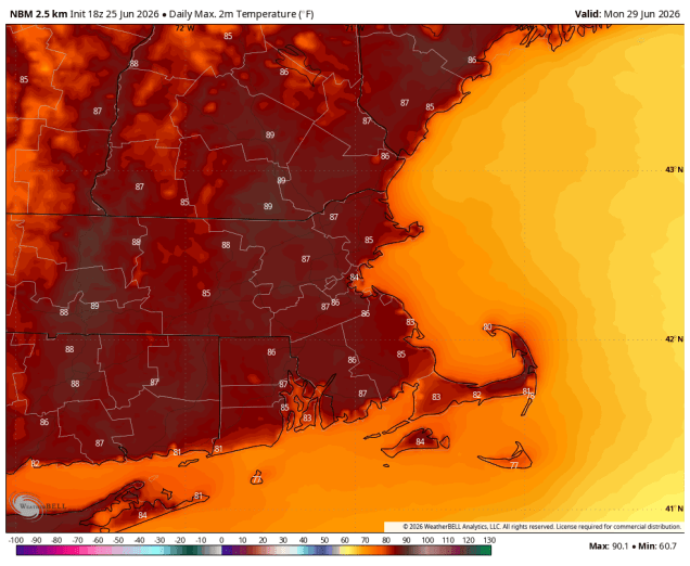
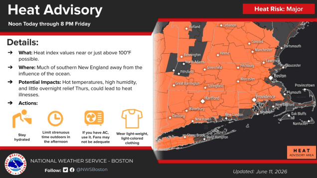
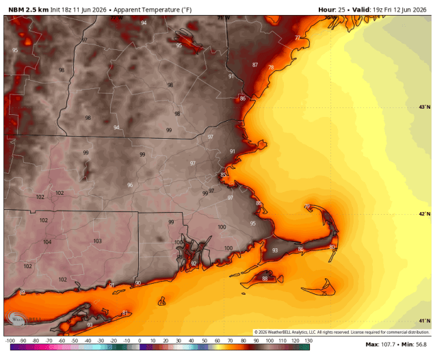
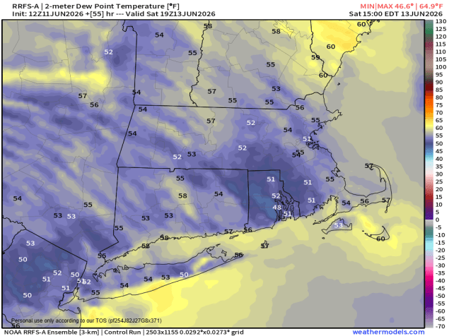
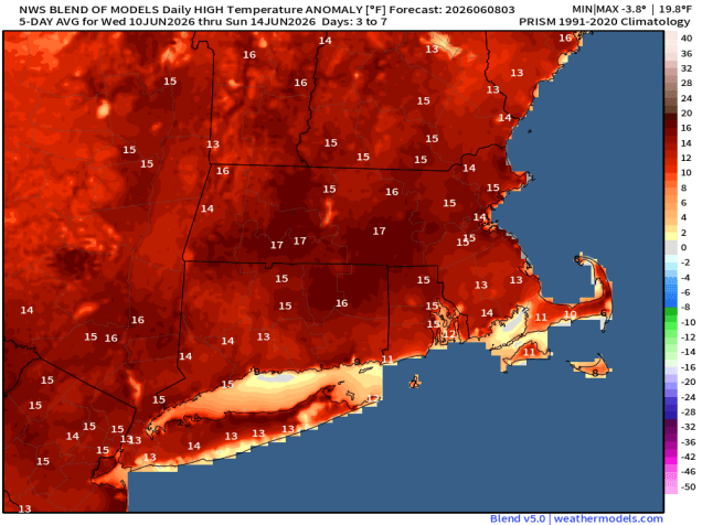
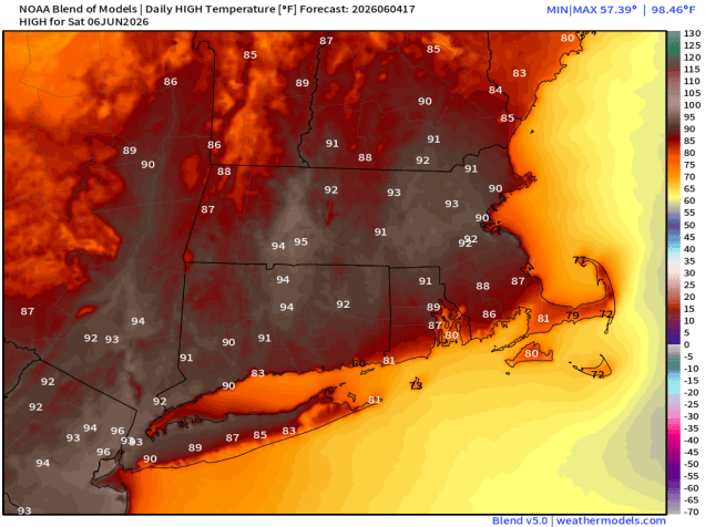
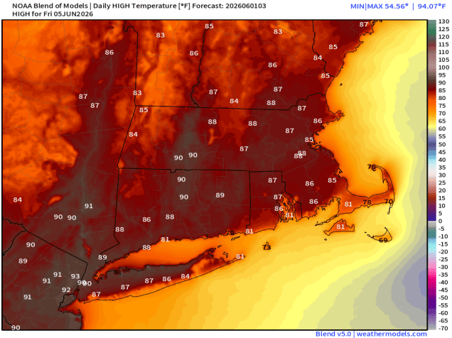
Hot and humid air then settles in for Wednesday into Friday. Temperatures likely top 90 away from the South Coast on Wednesday, then Thursday and Friday appear to be the hottest days right now, but how hot will it get? Many forecast models are showing temperatures near or over 100, and all of the Facebook Forecasters (as well as many in the local media) have been quick to post these maps like it is locked in and a virtual certainty. Well, we’re here to tell you that it isn’t. Not yet at least. Not every model is showing widespread triple-digit heat. Seabreezes will keep coastal areas cooler. There’s also something that the models don’t handle that well that will have an impact. In this pattern, a common occurrence is for thunderstorms to develop across the Northern Plains and Upper Midwest, then ride along the jet stream over the top of that ridge, then dive southeastward towards New York and New England. These clusters usually end up around here late at night or first thing in the morning. Sometimes, it’s just weakening storms, sometimes they remain quite potent, even severe at times. The models are notoriously bad at picking these out more than 24 hours or so in advance. If the timing is a little off, and the clouds and/or showers hang around a little later into the morning, then it’s not going to get nearly as hot as the models are currently showing. It’s also worth mentioning that there won’t be a lot of relief at night, especially Wednesday Night and Thursday night, when temperatures will likely not drop below 70, and urban areas may not drop below 80.

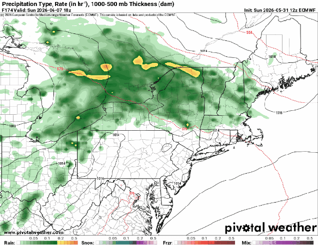
As we get to the end of the week and the weekend, another complicating factor is a backdoor cold front dropping down from the north. Behind it, relatively cooler and drier air will settle in, with heat and humidity remaining in place to the south. When will this front move through? How far south does it get before it stalls out? Will it retreat northward as a warm front again before the weekend is over, bringing the hot and humid air back in? Will there be some showers and thunderstorms along this front? All of these factors result in a highly uncertain temperature forecast for later Friday and into the weekend. Since it’s Fourth of July weekend, there are lots of outdoor plans being made, and the forecast is an important part of that. For now, plan for it to be very warm, and keep an eye to the sky (or the radar), but be aware that the forecast still can change.

Bottom line: Yes, it will get hot and humid for at least a few days later this week, but how hot and for how long remains uncertain, despite what you may see or read elsewhere. We’ll likely do a special blog post about this on Tuesday or Wednesday when things are a little more clear (hopefully), in addition to our normal Weekend Outlook on Thursday.

Monday: Sunshine and a few clouds. High 81-88, cooler along the coast.
Monday night: Clear to partly cloudy. Low 59-66.
Tuesday: A mix of sun and clouds, becoming breezy, chance for late-day showers and thunderstorms. High 83-90, cooler near the South Coast and Cape Cod.
Tuesday night: Showers and thunderstorms likely in the evening, tapering off overnight, some late-night clearing. Low 63-70.
Wednesday: Partly sunny, chance for a late-day shower or thunderstorm. High 89-96, cooler near the South Coast and Cape Cod.
Wednesday night: Partly cloudy, chance for a few showers or thunderstorms, especially during the evening. Low 68-75.
Thursday: Mostly sunny. High 93-100, cooler near the South Coast and Cape Cod.
Thursday night: Clear. Low 70-77.
Friday: A mix of sun and clouds, chance for afternoon showers and thunderstorms. High 92-99, cooler across Cape Cod.
Fourth of July: Partly sunny, showers and thunderstorms possible in the afternoon. High 86-93, cooler across Cape Cod.
Sunday: Partly sunny, chance for some late-day showers and thunderstorms. High 81-88, cooler across Cape Cod.