It’s back! The heat and humidity has returned, much to the delight of some, and dismay of others (count us among the “others”). It won’t hang around for too long though, but there’s not exactly any “cool” weather in our future.

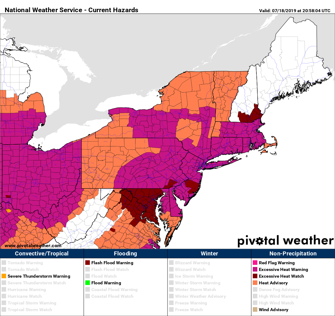
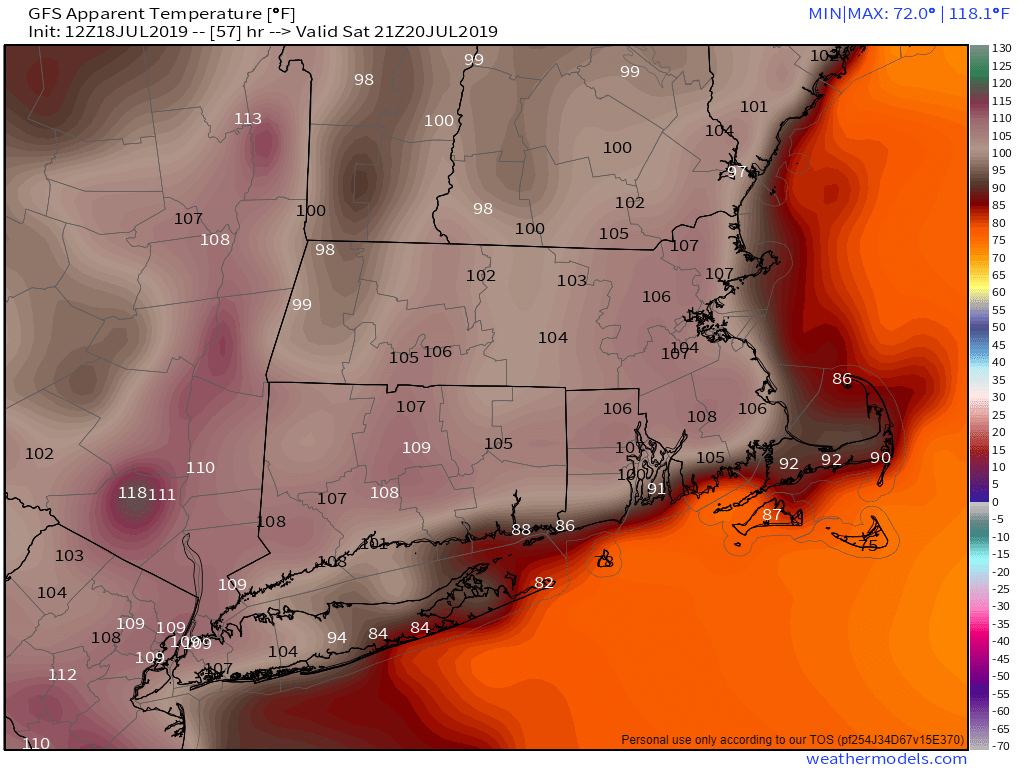
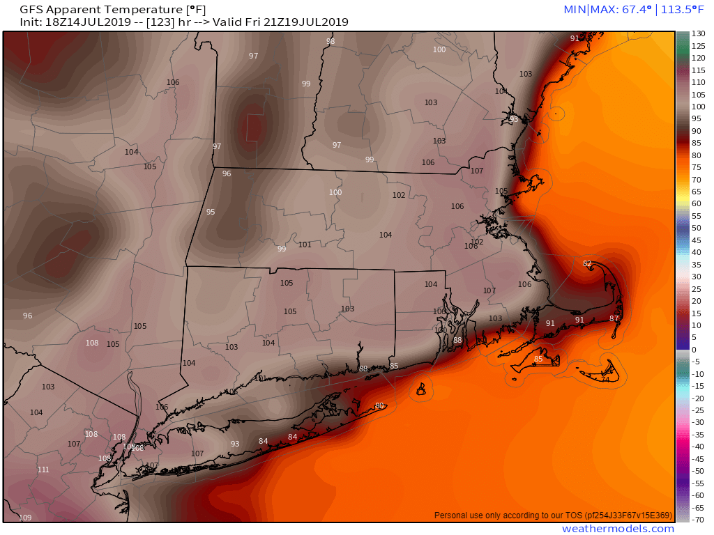
We start the week off with high pressure anchored off the East Coast. This will result in southwesterly winds pumping warm and humid air into the region for Monday and Tuesday. Many places will likely top 90 once again, and with dewpoints remaining high, heat indices could approach 100 during the afternoons. Heat Advisories have been posted for parts of our area.
Some spotty relief is possible during the next couple of afternoons, as some showers and thunderstorms will likely develop each day. Some of these storms could produce hail, heavy downpours, and strong winds, but a widespread severe weather outbreak is not expected. Showers and storms will become more numerous on Wednesday as a cold front approaches the region. This front will be fairly weak, but it should push through by early Thursday. Behind it, some drier air will move in, along with slightly cooler conditions for Friday.
Right now, next weekend looks like it will be a typical summer weekend across the area. We’ll have temperatures in the 80s, moderate humidity levels, and some pop-up showers and thunderstorms to contend with. Nothing to cancel plans over, but something you’ll need to keep an eye on if you plan to be outdoors.
Monday: Sunshine and some afternoon clouds, chance for a pop-up shower or thunderstorm. High 85-92.
Monday night: A shower or thunderstorm during the evening, otherwise becoming clear to partly cloudy and muggy. Low 66-73.
Tuesday: Partly to mostly sunny, breezy, humid, chance for a few pop-up showers or thunderstorms again. High 88-95, a little cooler along the south coast.
Tuesday night: Partly cloudy. Low 66-73.
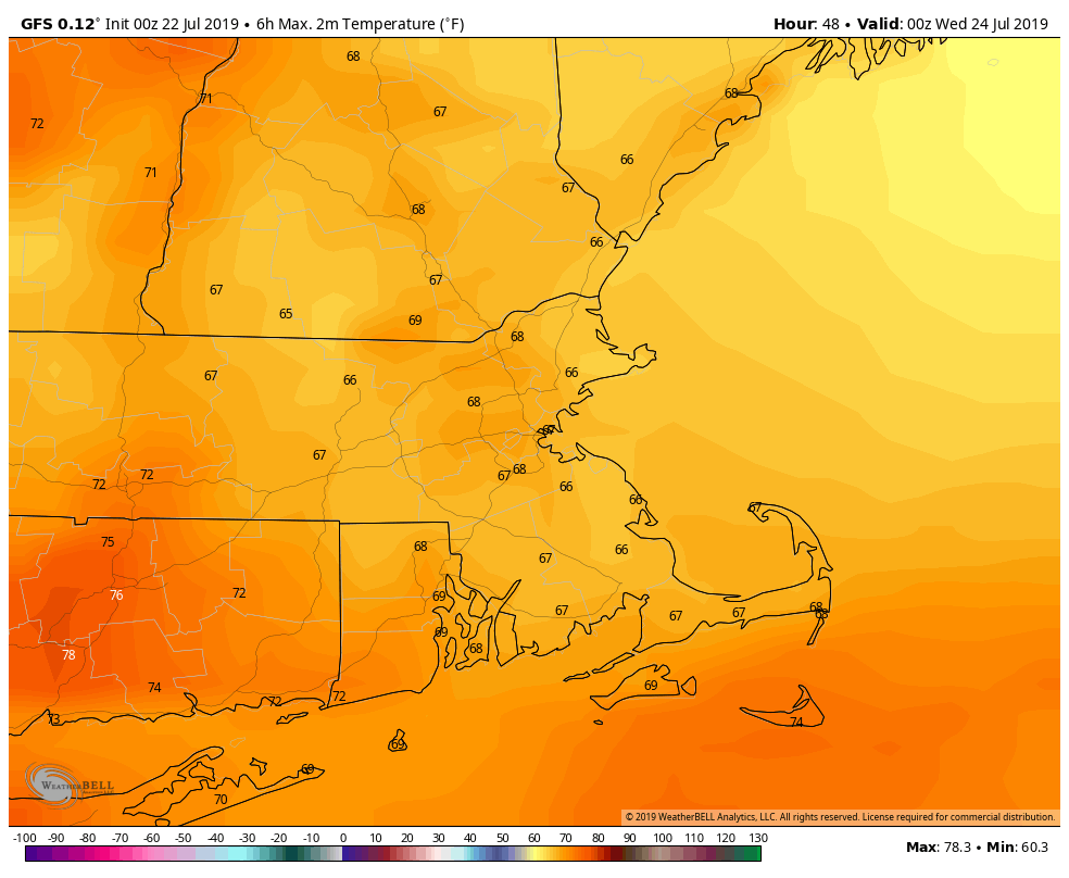
Wednesday: Intervals of clouds and sunshine, showers and thunderstorms becoming more likely, especially from late afternoon into the overnight hours. High 83-90.
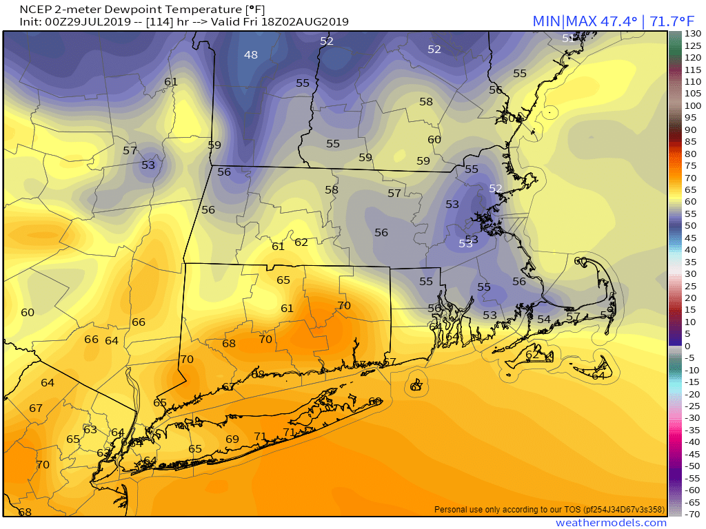
Thursday: Any lingering showers end early, then becoming partly to mostly sunny and less humid. High 80-87, coolest along the coast.
Friday: Sunshine and some afternoon clouds. High 79-86, coolest along the coast.
Saturday: A mix of sun and clouds, chance for an afternoon shower or thunderstorm. High 81-88.
Sunday: Partly sunny, a shower or thunderstorm is possible again. High 84-91, cooler along the coast.