Here we are in the final days of April, and we’re still talking about snow. Don’t worry, it won’t cause any problems but the fact remains that it’s still in the forecast. Much of the rest of the week won’t be a lot better.
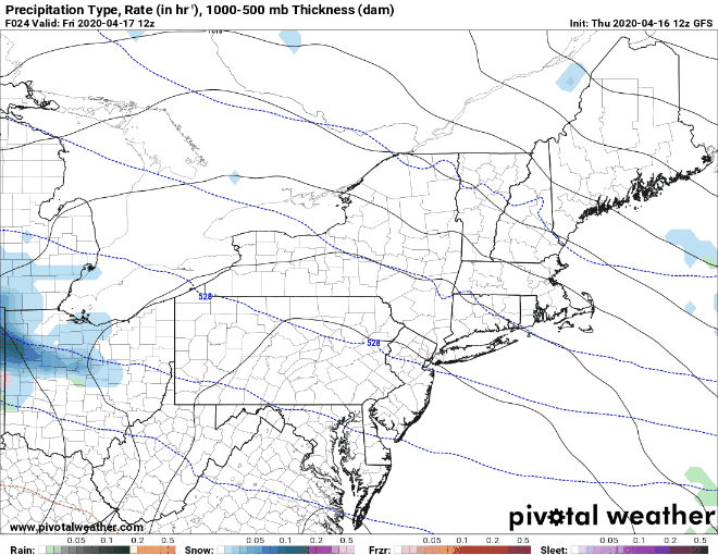
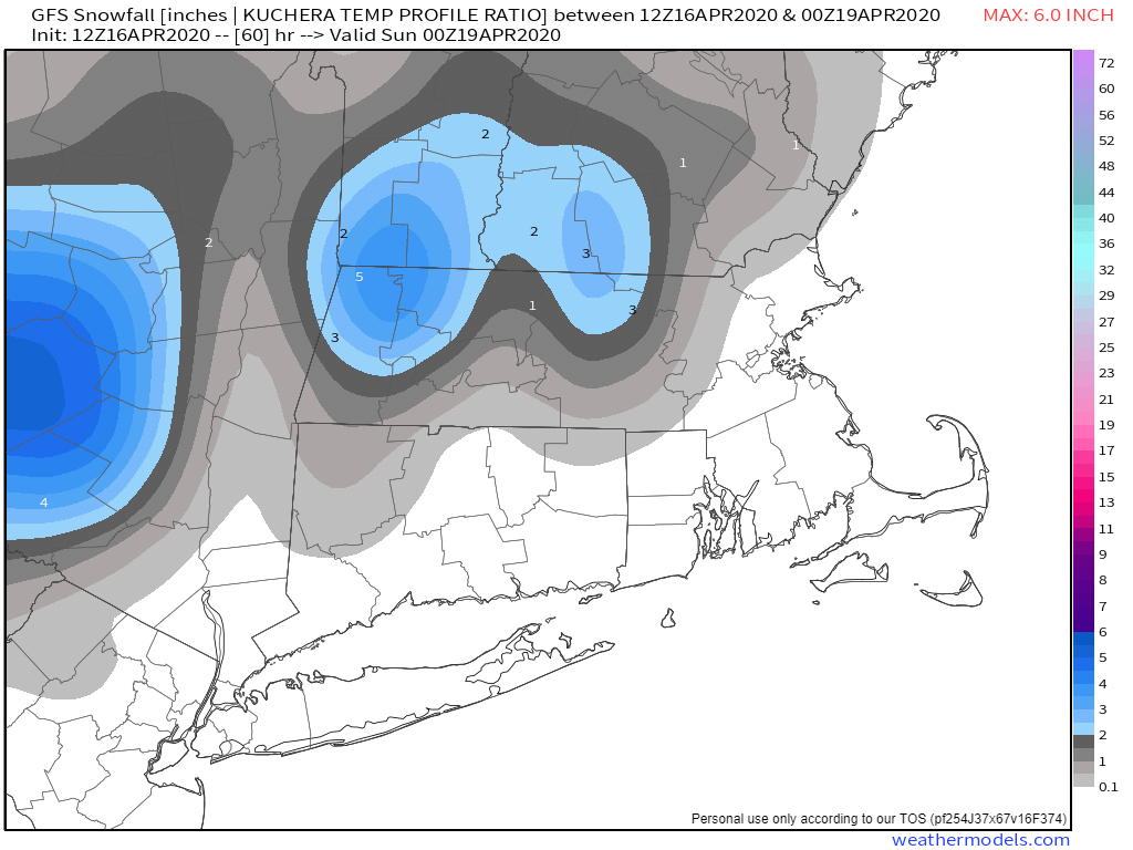
The week starts off with an absolutely miserable day on Monday. Low pressure will be meandering around south of New England, keeping us cloudy, cool, and rather wet, with occasional showers. Across the hills from Worcester County into the Monadnocks, there will likely be some flakes flying, especially in the morning and again late in the day. Temperatures will likely stay in the upper 30s and 40s all day today, which is 20-25 degrees below normal for late April. By Monday night the storm will start to slowly pull away, but things won’t improve that quickly. In fact, Monday night will be even more miserable, as the lingering showers may mix with or change over to wet snow across much of southern New Hampshire and eastern Massachusetts. There may be enough to coat the grass in some spots, but this shouldn’t be a big deal.
The low finally pulls away on Tuesday, but with an upper-level low crossing the Northeast, we’ll still have plenty of clouds, a few showers, and some cool temperatures. We’ll finally see some clearing Tuesday night, and then as Wednesday begins, the sun should make a return. It won’t last too long, as clouds will start to stream back in during the afternoon as yet another storm system heads toward the region.
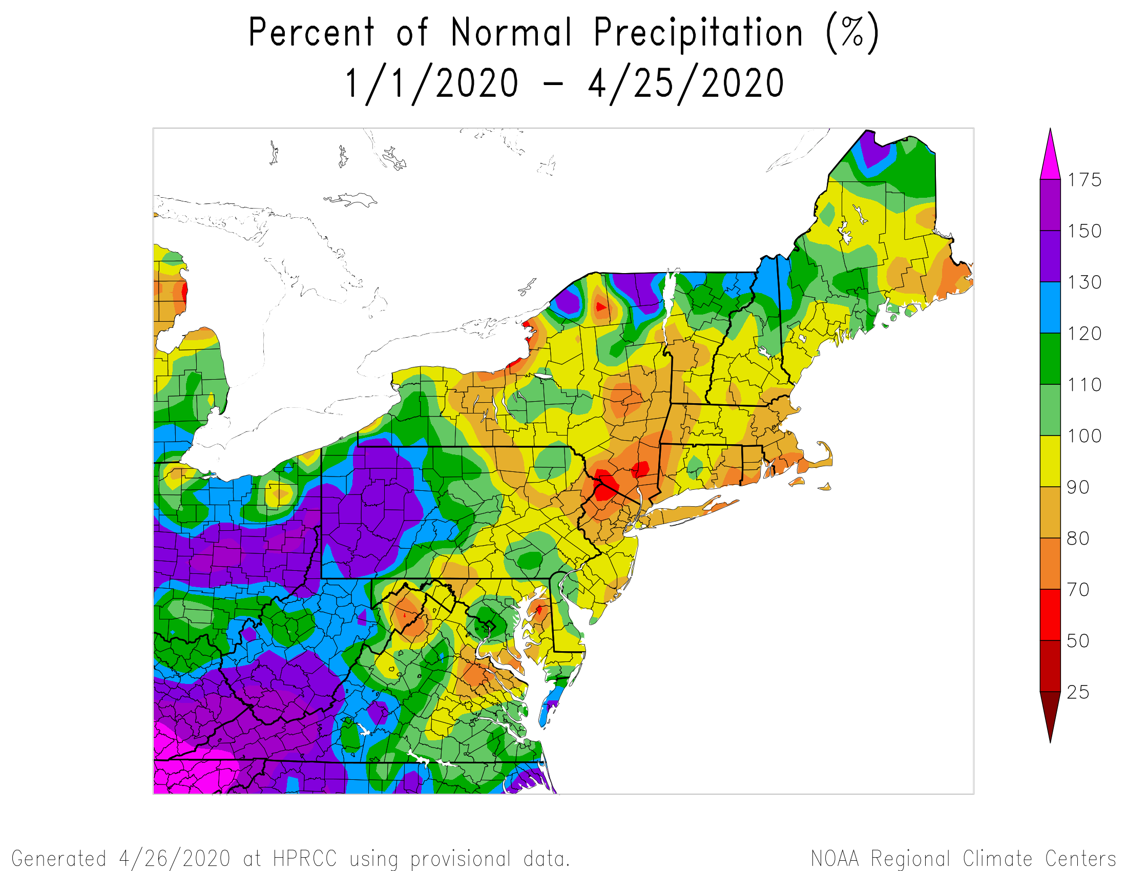
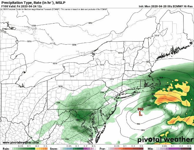
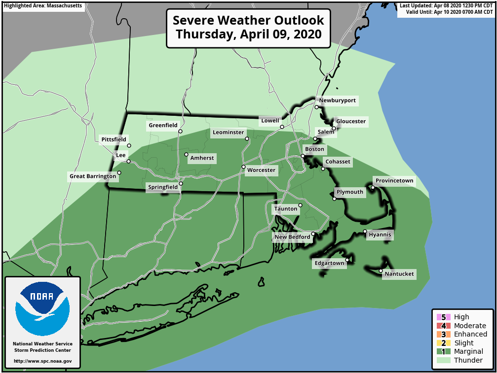
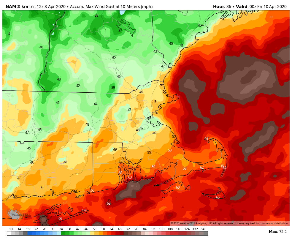
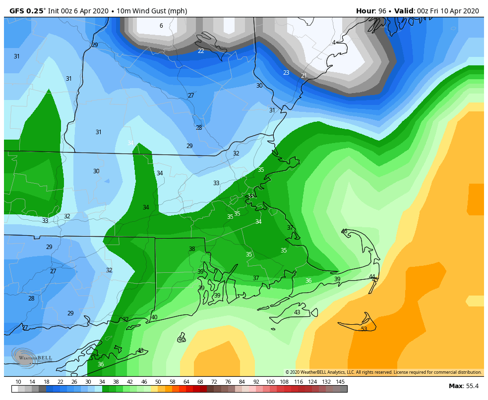
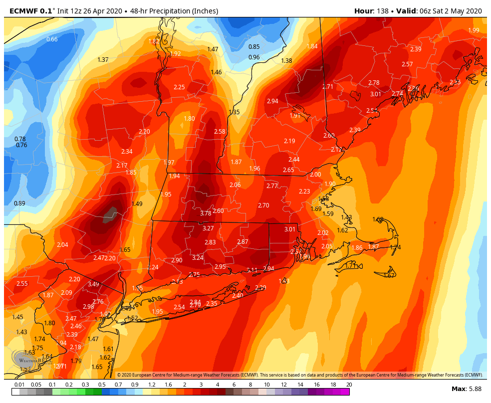
Thursday is looking like a very wet day as low pressure heads into the Great Lakes. It’s also looking quite breezy, but it’s not looking as cold as today. We could be looking at wind gusts of 40-50 mph once again. A southerly flow ahead of the storm will bring plenty of moisture up from the Gulf of Mexico and the Bahamas, so we could be looking at quite a bit of rain later on Thursday into Thursday night. This isn’t a bad thing, as we still need more rain, despite the already wet month of April. Rain should taper off late Thursday night, but another upper-level low moves through on Friday, so we’re looking at more clouds, and likely some more showers.
This brings us to next weekend. Finally, we’ll see some improvement. High pressure builds in on Saturday, so we’ll see sunshine and milder temperatures. We’ll still be under the influence of the upper-level low, so some clouds will pop up, and there’s a slight chance for another shower. Sunday is the tricky day. We’ll have a cold front approaching the region, likely producing some showers. However, ahead of the front, if we can get some sunshine, temperatures could make a run at 70 degrees.

Monday: Cloudy and breezy with occasional showers, possibly mixed with some wet snowflakes across the hills early in the day and again late in the day. High 37-44.
Monday night: Cloudy with a few rain or snow showers possible. Low 31-38.
Tuesday: Mostly cloudy with a few lingering showers along the coastline early, a few sunny breaks are possible late in the day. High 45-52.
Tuesday night: Clearing. Low 31-38.
Wednesday: Sunny in the morning, clouds start to filter back in during the afternoon. High 50-57, a little cooler along the coast.
Thursday: Cloudy and windy with rain developing, possibly heavy at times late in the day and at night. High 49-56.
Friday: Mostly cloudy and breezy with steady rain ending early, but a few showers may pop up in the afternoon, a few sunny breaks are also possible. High 58-65.
Saturday: A mix of sun and clouds, slight chance for a shower. High 59-66.
Sunday: More clouds than sun, showers possible during the afternoon. High 62-69, cooler right along the coast.
If you’re curious as to when the warmer weather will be here to stay, it looks like this pattern will continue through the 1st 2 weeks of May. Beyond that, things should start to improve, with a pattern change possibly bringing us temperatures that are near to above normal for the latter half of May.