We’ve got some nice weather for Labor Day, but things will go downhill later this week.
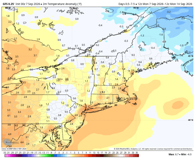
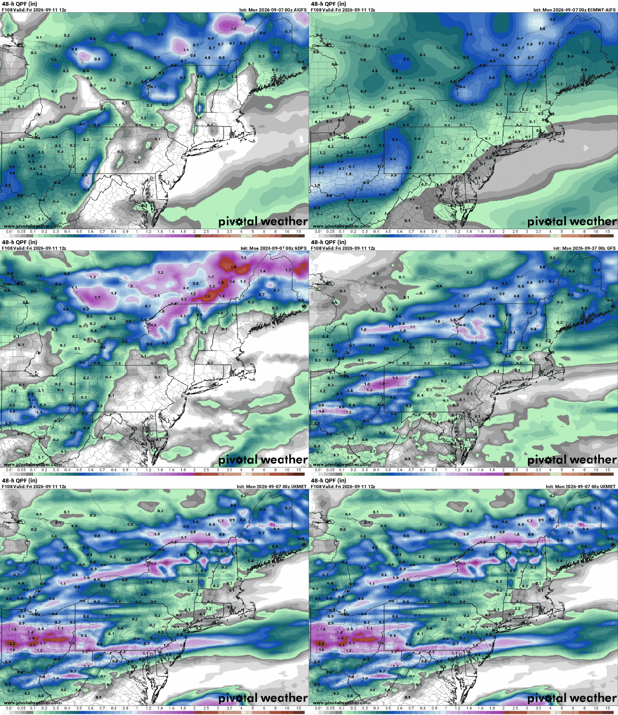
Upper-level low pressure continues to pull away today with high pressure building in, giving us some very nice weather for Labor Day. Sunshine with a few clouds and seasonably mild temperatures are expected, with similar conditions on Tuesday, though it’ll be a few degrees warmer. By Wednesday, we’ll see some clouds moving in as a frontal system begins dropping down from the north. A couple of upper-level disturbances will move through, bring us some episodes of showers between late Wednesday and early Friday. These waves will lift the front northward, allowing milder air to return. We could see some gusty winds with the second disturbance on Thursday. High pressure returns later Friday into the weekend with drier and cooler conditions.
Monday: Sunshine and a few afternoon clouds. High 72-79.
Monday night: Clear skies during the evening, becoming partly cloudy overnight. Low 54-61.
Tuesday: A mix of sun and clouds. High 74-81.
Tuesday night: Partly cloudy. Low 55-62.
Wednesday: Some morning sun, then becoming mostly cloudy and breezy late in the day with a chance for a few showers by evening. High 73-80.
Wednesday night: Lots of clouds with showers likely, breezy. Low 64-71.
Thursday: More clouds than sunshine, breezy, chance for more showers, especially during the afternoon. High 77-84.
Thursday night: Showers ending, some late-night clearing. Low 56-63.
Friday: Becoming partly to mostly sunny. High 70-77.
Saturday: A mix of sun and clouds. High 70-77.
Sunday: Partly sunny. High 76-83.

