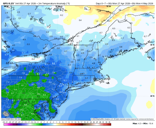
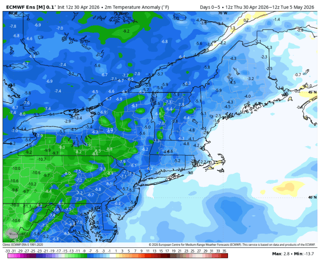
If you’re expecting dry and warm weather as we flip the calendar to May, then we’ve got some bad news for you.
Any lingering showers will end this evening as low pressure pulls away from the region allowing skies to clear out. High pressure builds in for Friday with sunshine in the morning, but with an upper-level low pressure area over southern Canada we’ll see clouds return for the afternoon with a few pop-up showers possible. Clouds move back in on Saturday as low pressure moves off the Carolina coastline. Although this system will pass fairly far offshore, it does look like the outer edge of rain with this system will move into at least southeastern Massachusetts, and possibly the rest of eastern Massachusetts and Rhode Island Saturday night into at least Sunday morning, with the potential for some steadier and heavier rain across Cape Cod, possibly into parts of southeastern Massachusetts. Rain will end during the afternoon, then drier weather returns on Monday.
Thursday night: Any lingering showers end in the evening, gradual clearing overnight. Low 39-46.
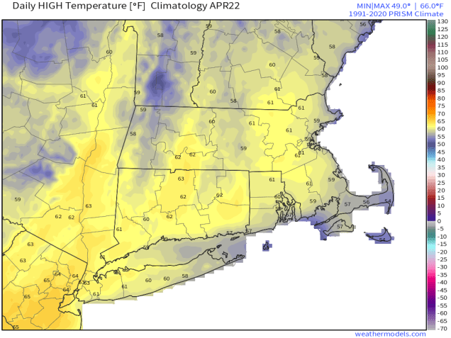
Friday: Sunshine and some afternoon clouds, slight chance for a shower or two during the afternoon, mainly across southern New Hampshire and northern Massachusetts. High 59-66.
Friday night: Clear skies during the evening, becoming partly cloudy overnight. Low 39-46.
Saturday: Becoming mostly cloudy, showers possible by evening across southeastern Massachusetts. High 53-60.
Saturday night: Plenty of clouds with showers likely, especially from Boston southward. Low 39-46.
Sunday: Mostly cloudy, showers taper off and end by early afternoon, some late-day sunny breaks may develop. High 52-59.
Sunday night: Becoming clear. Low 36-43.
Monday: A mix of sun and clouds, breezy. High 59-66.