By now you’ve probably seen the posts on social media, and even from some of the TV meteorologists. That word is back. You know the one. It’s 4 letters, starts with the letter “S” and rhymes with NO. At this point, it’s hype, and not reality, but we’ll get into the details shortly.
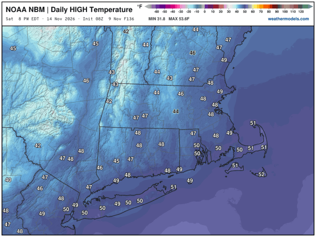
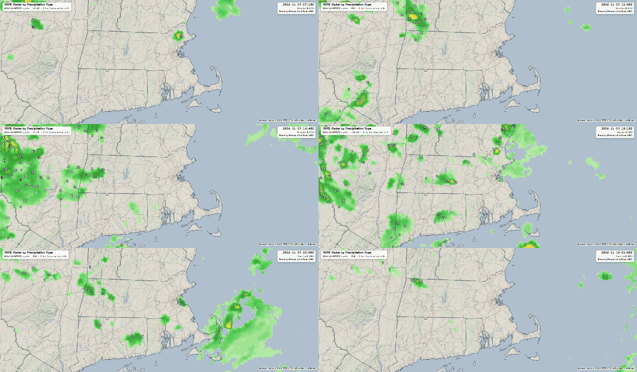
We start the week off with an upper-level disturbance crossing the Northeast today. It will generate some clouds and a few widely scattered showers, but much of the day will remain dry. A cold front moves through early Tuesday with some additional clouds, but this time it looks like the bulk of the shower activity will stay north of the region. Skies start to clear out behind the front in the afternoon, then high pressure builds in for Wednesday and Thursday with dry conditions. After that, we turn our attention to low pressure moving out of the Midwest, sending clouds into the region Thursday afternoon.
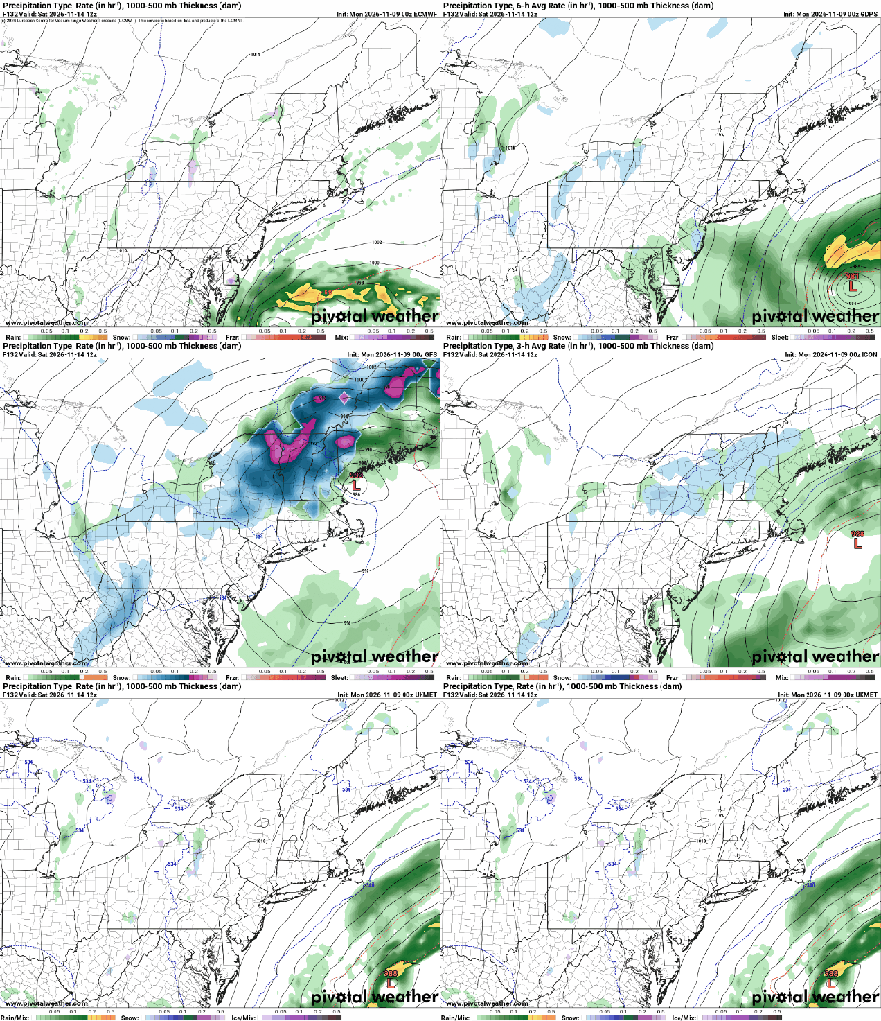
As the system moves eastward, a secondary low pressure area develops off the Mid-Atlantic coastline, passing south and east of the region Friday and Friday night. There is still plenty of disagreement among the models with the track the storm takes and the timing of it, but at this point, it looks like another rainstorm for part of the region starting Thursday night, going through the day on Friday, possibly not winding down until the storm starts to pull away early Saturday. This would be mainly across eastern Massachusetts and Rhode Island again, as the latest indications are that the storm may stay too far offshore to do much inland. Colder air will start to filter in behind the system, which may allow any rain across the interior to mix with some wet snow across before everything ends. Could there be some accumulation in the Monadnocks and higher elevations to the north? Sure, if the storm passes close enought. But around here, at this point it is extremely unlikely. An upper-level low then crosses the region on Sunday generating more clouds and possibly a shower or two, but the more noticeable impact will be a breezy and cool day.
Monday: Intervals of clouds and sun, a few widely scattered showers likely, breezy. High 53-60.
Monday night: Partly to mostly cloudy. Low 36-43.
Tuesday: Plenty of clouds and possibly a shower through early afternoon, skies start to clear out late in the day. High 53-60.
Tuesday night: Clear skies. Low 37-44.
Wednesday: Sunshine and some afternoon clouds. High 52-59.
Wednesday night: Partly cloudy. Low 31-38, a little milder across Cape Cod.
Thursday: Becoming partly to mostly cloudy. High 49-56.
Thursday night: Cloudy and becoming breezy with showers developing. Low 31-38, a little milder across Cape Cod.
Friday: Periods of rain and showers, favoring eastern areas, windy. High 43-50.
Saturday: Mostly cloudy, breezy, showers ending, possibly mixed with a few wet snowflakes across the . High 42-49.
Sunday: Partly sunny, breezy. High 43-50.

