Severe Weather Possible Today

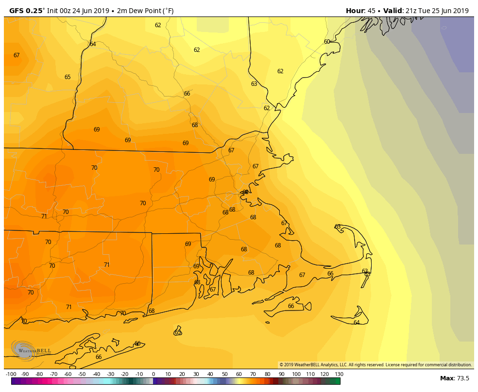
The warm and humid conditions we’ve had for much of the region over the past several days are going to continue today, but changes are coming, and the change may not be that quiet.

There is a slight risk of severe weather across much of the region today. Image provided by the Storm Prediction Center.

A weak cold front is going to approach the region today. The front may never make it across the area before it washes out, but it will help to trigger some strong to severe thunderstorms across parts of the region today. Right now, it looks like the most likely area for strong storms is from southeastern Connecticut into Rhode Island and southeastern Massachusetts. The most likely time for the storms in this area is from 11am to 3pm,, though some storms may continue through about 7pm.

The high-resolution NAM model shows the progression of storms across the region this morning and afternoon. Loop provided by weathermodels.com

The ingredients appear to be in place for some strong to severe thunderstorms to develop across the region. There are several different indices that meteorologists look at to help determine the risk for severe weather. We won’t confuse you with most of them, nor will we bore you with how they are derived. Most of these indices are indicating that the risk for today is real and significant. One of the parameters that we will share you you is called CAPE. That stands for Convective Available Potential Energy. It’s a measure of how unstable the atmosphere is, and how much “juice” is available to fuel the storms. It’s measured in joules per kilogram, and a value over 1000 means that the atmosphere is moderately unstable. If the values reach 2500 there is strong instability, and values over 4000 are indicative of extreme instability. as you can see in the map below, values of 2000-4000 (or more) are expected early this afternoon.

The High Resolution NAM model is showing CAPE values of 2000-4000 early this afternoon across New England. Image provided by WeatherBell.

Any storms that do develop this afternoon will likely contain heavy downpours, strong winds, and hail. There is even a risk for an isolated tornado. With the heavy rain, flash flooding is also a risk. So, if you’ve got plans that involve outdoor activities, make sure you keep an eye to the sky.

So, things will be better on Sunday, right? Not so fast my friends. We’ll have an upper-level low pressure area dropping southward from Canada. So, not only will it be cooler, we’ll have some more showers and thunderstorms developing. We don’t expect most of these to become severe, but with cold air aloft, we’ll have some of these storms produce small hail across the area. This is similar to what happened last Saturday, when another upper-level low moved through. There were numerous reports of small hail across the region. So again, if you’ve got outdoor plans on Sunday, keep an eye to the sky.

Weekly Outlook: June 24-30, 2019

Sunday is the last day of June, which means 2019 will be half over. It seems like just yesterday when we were complaining about snow and ice. Don’t worry, those days will be back again soon enough. For now, you can complain about humidity, or rain, both of which will be featured in this week’s forecast.

We start the week off with a nice day on Monday, thanks to high pressure in control. Sunshine, low humidity and mild temperatures are expected, but temperatures will drop quite a bit in the afternoon, first along the coast, the eventually inland. This will be mainly due to a seabreeze, but it almost appears to be a backdoor cold front.

The High-Resolution NAM model nicely shows the temperature trend today, with a quick rise this morning, especially inland, then temperatures quickly drop from east to west as a seabreeze moves inland. Loop provided by Weathermodels.com

As we head into Tuesday, low pressure moving across southeastern Canada will send a warm front towards the region. Some showers and a few thunderstorms are likely as the warm and humid air starts to move into the area. That same system will send a cold front towards us later in the day, but it looks like that front will wash out before it ever gets here. With that cold front dissipating, we’ll be in the warm and humid air for Wednesday, Thursday, and Friday. As is typical when we get this type of airmass in the summer, don’t be surprised if we get some pop-up showers and thunderstorms each day, but also a seabreeze along the coast.

Dewpoints in the upper 60s to near 70 on Tuesday? We’re not fans of that, but we know that some of you are, so enjoy it. Image provided by WeatherBell.

By Saturday, a stronger cold front will drop down from Canada, producing more widespread showers and thunderstorms, but also ushering cooler air back into the region. An upper-level low pressure area will settle in for Sunday, which likely means clouds, showers, and cool weather once again. Hope you enjoyed this past weekend, since the upcoming one isn’t looking that great right now.

And finally, we’ll take a really long look ahead at the weather for the Fourth of July, since it’s about a week and a half away. Now, the models aren’t terribly accurate that far out, so take this with a big grain of salt, but right now, it looks warm (80s), somewhat humid (dewpoints in the 60s), and partly sunny, with some showers and thunderstorms possible. Obviously, we’ll have a much better idea of the forecast in next week’s outlook, but we figured we’d give you a head’s up in case you’re already planning some outdoor activities for that day.

Monday: Sunshine and a few clouds around. High 77-84, then temperatures drop during the afternoon from east to west.

Monday night: Becoming partly to mostly cloudy. Low 54-61.

Tuesday: Mostly cloudy, breezy, and cooler, with showers and a few thunderstorms likely. High 67-74, possibly cooler across the North Shore and New Hampshire Seacoast.

Tuesday night: Showers end in the evening, then becoming partly cloudy, though low clouds and fog could linger, especially from the North Shore and the Merrimack Valley into southern New Hampshire. Low 56-63.

Wednesday: A mix of sun and clouds, chance for an afternoon or evening shower or thunderstorm. High 77-84, cooler right along the coast.

Thursday: Partly to mostly sunny, chance for an afternoon shower or thunderstorm. High 81-88, coolest along the coast.

Friday: Sunshine and some afternoon clouds, chance for some late-day showers and thunderstorms. High 82-89, coolest along the coast.

Saturday: Partly to mostly cloudy and breezy with scattered showers and thunderstorms during the afternoon and evening. High 78-85, but temperatures likely drop during the afternoon.

Sunday: More clouds than sun with more showers likely. High 72-79.

Weekly Outlook: June 17-23, 2019

If you picked this week for your vacation, then you’re probably not going to be happy, unless you’re heading out of town. This week looks quite damp. It’s not going to rain constantly, but most days will feature at least a chance of rain.

A cold front that moved through early this morning will stall out south of the region and remain there for much of the week. High pressure will build in today, allowing some sunshine and mild temperatures to move in, but clouds may linger along the south coast.

For Tuesday through Friday, waves of low pressure will ride along the front, bringing the clouds back in along with periods of showers and a few thunderstorms. None of the days will be a complete washout, but some showers are possible at almost any time. The best chance for some steadier and heavier rain looks to be during the day on Tuesday and again Thursday night into early Friday.

Some parts of the region could pick up an inch of more of rain this week. Image provided by Weathermodels.com

By late Friday, low pressure pulls away from the region and takes the frontal boundary with it. High pressure builds in, giving us a nice weekend, with sunshine and warm temperatures. As we head into next week, we may finally get a taste of summer warmth, though that is far from definite at this point. However, there is one model that it showing some very warm to hot weather moving in by early next week and remaining in place for much of the week. We’ll obviously get into more detail on that, if it materializes, in next week’s outlook.

The GFS is indicating that temperatures next week could be 8-12 degrees above normal on average. High temperatures in late June should be near or just above 80, so you can do the math. Image provided by WeatherBell.

Monday: Partly to mostly sunny, but clouds may spread back in late in the day. High 74-81.

Monday night: Becoming mostly cloudy with a few showers possible late at night, mainly south of Boston. Low 54-61.

Tuesday: Cloudy with periods of rain and showers. High 68-75.

Tuesday night: Cloudy with a few showers, mainly during the evening. Low 54-61.

Wednesday: Clouds and a few sunny breaks, some showers and thunderstorms are possible. High 69-76.

Thursday: Mostly cloudy and breezy with periods of rain and showers likely, possibly heavy at night. High 72-79.

Friday: Mostly cloudy with more showers. High 68-75.

Saturday: Sunshine and some afternoon clouds, breezy at times. High 71-78.

Sunday: Plenty of sunshine. High 73-80.

Weekly Outlook: June 10-16, 2019

We just had an absolutely perfect weekend weather-wise, capped off by a convincing Bruins win to force a Game 7. Next weekend looks like it might be almost as good, but wouldn’t a parade make it better? Before we go there, let’s go through the week first.

After a fairly wet spring, we’ve actually been pretty dry over the past month. We’ll put a dent in that this week with 2 separate storms bringing in some rain.

We start the week off with high pressure sliding offshore, so the sunshine we’re starting the day off with will disappear behind clouds this afternoon. A warm front will move towards the region, bringing in some showers and maybe some thunderstorms tonight into Tuesday morning. The showers will end around midday as a cold front moves across the area. Some of the rain could be heavy, especially if thunderstorms develop. This is good news, as we’ve actually been a little dry lately, and need some rain to keep everything nice and green out there. Skies will clear out behind the front Tuesday afternoon and evening.

Some of the rain late tonight and early Tuesday could be heavy across the region. Thunderstorms could enhance the rainfall in spots. Image provided by WeatherBell.

High pressure builds in for Wednesday with sunshine and mild weather, but clouds will move back in late in the day ahead of another warm front. That night, while the Bruins are attempting to end the region’s torturous 129-day championship drought, showers will move in ahead of another warm front. Hopefully, the only Blues were talking about the next morning is from people depressed that it will be a cool damp day as low pressure moves across the region.

High pressure builds back in for Friday and Saturday with dry conditions once again. Friday may still be a little on the cool side, but Saturday should be warmer. Sunshine and warm temperatures are a great combination for a parade, right? They were in June of 2011. Another system will move towards the region on Sunday, with clouds and some showers moving in. There’s some question as to how quick they move in, so Sunday could end up being another dry or mostly dry day. We’ll have a better idea on that later in the week.

Monday: Sunshine to start the day, clouds move in during the afternoon. Showers are possible towards evening. High 73-80.

Monday night: Cloudy with showers likely, maybe a rumble of thunder. Low 57-64.

Tuesday: Showers and thunderstorms ending towards midday, then skies start to clear out during the afternoon, becoming breezy. High 71-78.

Tuesday night: Becoming mostly clear. Low 49-56.

Wednesday: Mostly sunny, clouds return at night. High 72-79.

Thursday: Periods of rain and showers likely, ending overnight. High 64-71.

Friday: Sunshine and a few afternoon clouds, breezy. High 68-75.

Saturday: Mostly sunny and breezy. High 72-79.

Sunday: Becoming mostly cloudy with a chance of showers, mainly late in the day. High 73-80.

Weekly Outlook: June 3-9, 2019

We’re into June, and that means that meteorological summer has started (which is why Satch was the appropriate music to start off this week’s update). We don’t have any heat and humidity on the horizon though. Let’s take a look at what we do have.

The week starts off with high pressure building in, giving us dry and mild weather for Monday. With clear skies, it’ll be a great night for star-gazing, with 5 visible planets as well. You’ll have Mercury and Mars in the evening, Jupiter and Saturday from before midnight until daybreak, and Venus rising about an hour before the sun. The International Space Station will also have a 4-minute pass overhead around 9:08pm. We’ll have sunshine to start the day Tuesday, but clouds will start to move in ahead of a slow-moving frontal system. We’ll have showers move in Tuesday night and into Wednesday as a warm front moves across the area. Most of Wednesday should be fairly dry, but a cold front will be approaching from the west. This may produce some showers Wednesday night, but more likely on Thursday when the front moves through in the afternoon.

Skies should be completely clear tonight, which should allow for some great star-gazing weather. Image provided by Weathermodels.com

Friday and into the weekend should feature dry and seasonably warm temperatures, but we’ll have to keep an eye on a couple of things. First, there will be an upper-level low in Atlantic Canada. It should be far enough east to have little impact on us, but if it sets up shop a little farther west, well, that could means clouds, cooler conditions, and maybe even a few showers along the coast as little pieces of energy rotate around the low. The other thing to keep an eye on its the front that moves through on Thursday will eventually stall out south of New England. Again, it should stall far enough to the south to not impact us, but if it stalls farther north than anticipated, then clouds and/or showers could impact south coastal areas. Again, both of these are low-probability right now, but the probability is not zero. We *should* have a good weekend weather-wise, but it’s not definite yet.

The cluster of thunderstorms in the Bay of Campeche is trying to organize itself into a Tropical Cyclone. If it does, it will be named Barry. Loop provided by NOAA.

Meanwhile, the start of meteorological summer also means the start of Hurricane Season in the Atlantic Basin, and we’ve already got something cooking in the Bay of Campeche. There’s a system down there that’s trying to get organized, but it doesn’t have a lot of time. It will head northwestward, towards northeastern Mexico or extreme southern Texas, likely moving inland late Tuesday or early Wednesday. Whether or not it develops, it will bring some heavy rain and gusty winds to that area over the next few days. We’ve already have Andrea this season, so the next system that gets a name will be called Barry.

Monday: Partly to mostly sunny and breezy. High 63-70.

Monday night: Clear skies. Low 43-50.

Tuesday: Morning sunshine, then clouds move in during the afternoon. Showers may develop towards evening. High 62-69.

Tuesday night: Cloudy with showers likely. Low 49-56.

Wednesday: Cloudy, showers taper off in the morning, then redevelop at night. High 71-78, cooler along the coast.

Thursday: Mostly cloudy with some showers and thunderstorms possible. Skies may clear out late in the day and at night. High 74-81.

Friday: Sunshine and some afternoon clouds. High 72-79.

Saturday: Mostly sunny. High 75-82.

Sunday: Partly to mostly sunny. High 71-78.