We’re deep into winter, but it hasn’t felt like it much for the past couple of months. That’s about to change, potentially in a big way.
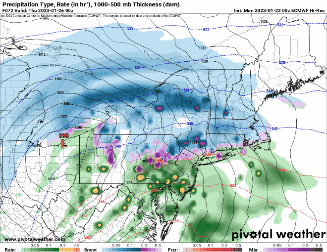
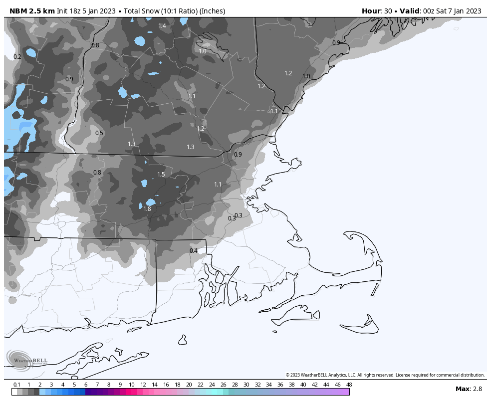
The week starts off mild once again, but a cold front will move across the region later today and tonight. As the front moves through, some rain or snow showers are possible, with a few snow squalls not out of the question. High pressure builds in for Tuesday and Wednesday with drier weather and more seasonable temperatures. This will also help deflect a low pressure off to the south, which may actually bring some snow to the Mid-Atlantic states, though we could see some of the precipitation reach the South Coast. Another system passes south of the region on Thursday, spreading in more clouds, but we’ll also see temperatures start to moderate a bit. This sets the stage for what’s to come at the end of the week.

A strong cold front will cross the region Friday morning as a rather large high pressure system settles into southern Ontario. Behind the front, the coldest air we’ve seen in several years will pour into the region. Temperatures will likely start the day in the 30s, but will rapidly drop during the afternoon, likely reaching the single digits by evening, and dropping below zero across most of the region overnight. By Saturday morning, temperatures may be as cold as -10 to -15 north and west of Boston, with even colder temperatures possible. But wait, if that’s not cold enough, gusty northwest winds will create wind chills of -20 to -30. Saturday morning might be a good day to skip that morning run, or you’ll probably want to make sure the dog takes care of business quickly. Despite sunshine, temperatures likely stay in the single digits or lower teens during the daytime. As the high slides by to the north, winds may shift into the north or northeast, which could allow for some ocean-effect snow showers to develop across Cape Cod. As the high continues eastward, winds will shift into the southeast and eventually south, bringing a quick end to our arctic blast. Temperatures will continue to rise Saturday night, and should get well into the 30s and even 40s again across the region on Sunday.

We should also mention that Thursday is Groundhog Day. Tradition states that if the groundhog sees his shadow, then there will be 6 more weeks of winter. Have we really had winter yet? Not really, so the groundhog probably won’t see his shadow. Of course, if you trust a long-range forecast from a rodent, then can we interest you in investing in some quality swampland in Florida? Sunday however is National Weatherperson’s Day. Obviously, we like that one a little more.

Monday: Intervals of sun and clouds. High 43-50.
Monday night: Partly to mostly cloudy with a few rain or snow showers possible, maybe even some snow squalls that could drop a quick inch in spots. Low 26-33.
Tuesday: Partly sunny. High 31-38.
Tuesday night: Partly to mostly cloudy with a few snow showers possible. Low 14-21.
Wednesday: Sunshine and a few clouds. High 26-33.
Thursday: A mix of sun and clouds, breezy. High 33-40.
Friday: Partly to mostly sunny, windy, and turning sharply colder. High 21-28 in the morning, temperatures plunge in the afternoon.
Saturday: Plenty of sunshine, breezy, and bitterly cold, except for a few snow showers possible on Cape Cod. Morning low -1 to -8 south of the Mass Pike, -9 to -16 north of the Pike. High 6-13 during the evening.
Sunday: Mostly cloudy, windy, milder, chance for some snow or rain showers. High 35-42.