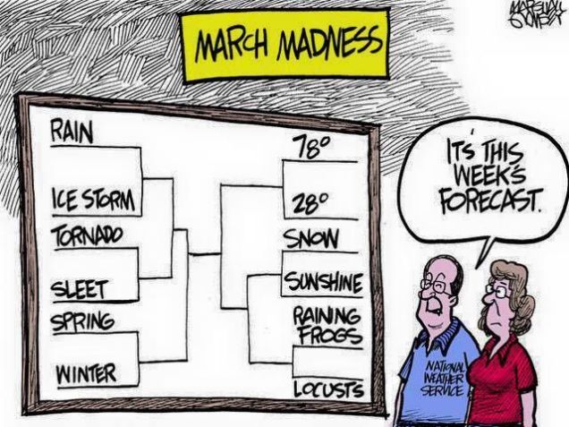
March certainly came in like a lion, but true to form, it’s probably going out like a lamb. After a very active month, much of the upcoming week will feature some rather benign weather.
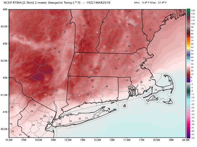
The week starts out with high pressure to our north and northeast, meaning dry but cool conditions for Monday and Tuesday. Of course, cool is a relative term, since “cool” late March means 40s for highs, as opposed to teens and 20s in January. That also means that we’ll continue to melt this persistent snow cover that we’ve had. Of course, with melting during the day and temperatures dropping below freezing at night, the potential exists for some black ice, so use a little caution if you’re heading out during the next few evenings.
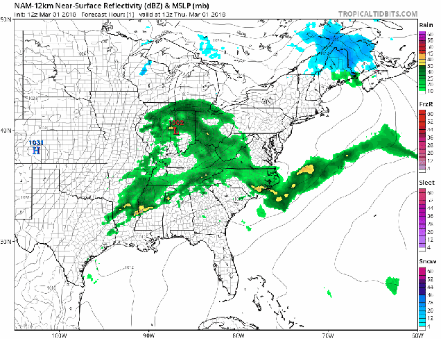
For Wednesday, a weak system moves across the region, bringing us some scattered showers. If the precipitation moves in early enough, which is a possibility, we could see a little freezing rain or some sleet Wednesday morning, especially from the Merrimack Valley into southern New Hampshire.

This brings us to Thursday, which will be a sure sign for many of you that Spring has finally arrived. Sure, it’ll be dry and mild. Temperatures should be well into the 50s across the area. More important than that – it’s Opening Day. The 2018 regular season begins for the Boys of Summer. When Chris Sale steps to the mound at Tropicana Field, the fans there won’t see a single cloud in the sky, but that’s because it’s a domed stadium and you can’t see the sky from inside the park. Around here, if you’re tuning into NESN or WEEI, it should be a fantastic day to leave work a little early (first pitch is at 4pm), and enjoy the fact that baseball is back. In fact, Thursday will feature a Boston/Tampa doubleheader on NESN. No, not two baseball games, but right after the Sox and Rays play, the Bruins and Lightning will faceoff at the Garden with 1st place in the Eastern Conference on the line. If you’re a fan of both hockey and baseball (like we are here at StormHQ), then there aren’t too many days on the calendar better than Thursday.

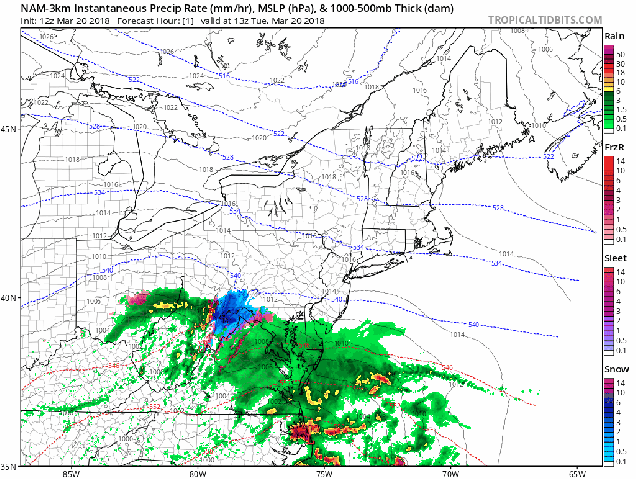
Back to the weather, Friday will still be mild, but also wet, as a storm system passes north and west of the region. Of course, given the way this past winter has gone, we wouldn’t be surprised if that storm trended farther south and east, and we end up cooler, but for now, we’ll remain optimistic.
Behind the system, we should remain seasonably mild on Saturday, with showers ending in the morning but Sunday is the day with questions. At least one model wants to bring another system right in with windy, wet, and warmer conditions, while another model wants to build a high pressure system in with sunshine and seasonable conditions. Once again, we’ll remain optimistic, but be forewarned, you may need umbrellas for your Easter or Passover plans.
Monday: Clouds linger across Cape Cod, becoming partly to mostly sunny elsewhere. High 37-44.
Monday night: Clear to partly cloudy. Low 22-29.
Tuesday: Sunshine to start, then high clouds filter in during the afternoon. High 41-48.
Tuesday night: Becoming cloudy, showers developing late at night, possibly starting as some freezing rain in the Merrimack Valley and southern New Hampshire. Low 27-34.
Wednesday: Cloudy with scattered showers likely. High 41-48.
Thursday: Plenty of clouds with a few sunny breaks. High 54-61, cooler right along the South Coast.
Friday: Cloudy and breezy with showers likely. High 50-57.
Saturday: Showers ending in the morning, some sunshine develops in the afternoon, breezy. High 48-55.
Sunday: A mix of sun and clouds. High 45-52.