Much of the upcoming week should feature some rather nice weather.
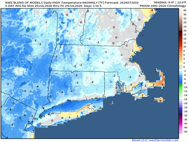
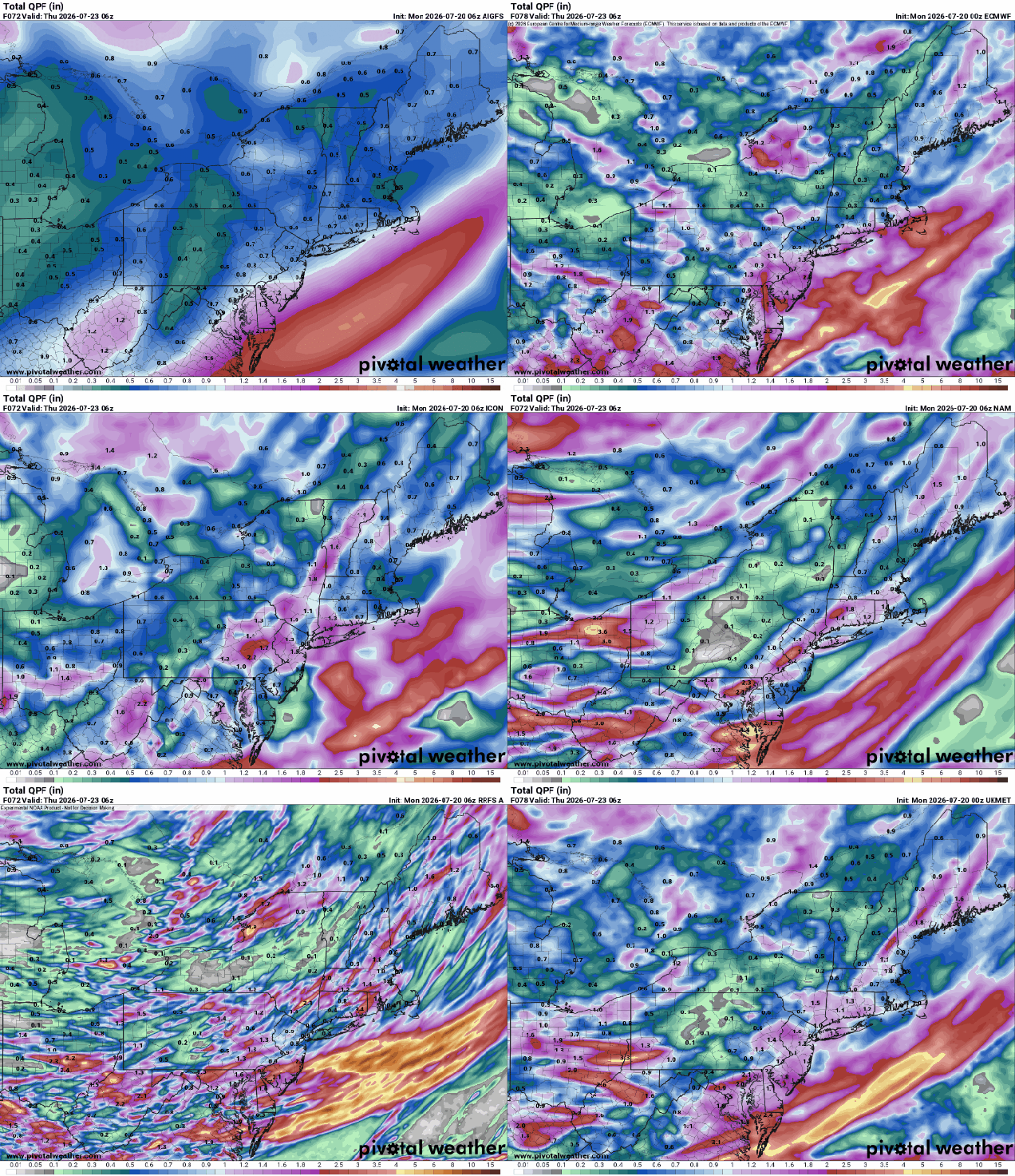
The week starts off with high pressure in control, keeping the smoke off to our south, and giving us sunshine, seasonably warm temperatures, and low humidity. As the high moves offshore, Tuesday will be similar, though we’ll see temperatures a little warmer, and a few more clouds, especially late in the day. A warm front will be heading our way, with some showers and thunderstorms expected ahead of it late Tuesday night into part of Wednesday. Wednesday should be much more humid as well, with southwest winds behind the front bringing the humidity back in. A cold front will move in late in the day, triggering another round of showers and thunderstorms. Depending on the timing of that front, some of the storms could be rather potent. High pressure then builds in with drier weather for the end of the week and start of the weekend. Humidity levels start to increase again late in the weekend as another front begins heading our way.
Monday: Sunshine and a few clouds. High 77-84.
Monday night: Clear during the evening, increasing clouds overnight. Low 58-65.
Tuesday: Intervals of clouds and sun, showers and thunderstorms developing in the afternoon, breezy. High 75-82.
Tuesday night: Plenty of clouds with showers and thunderstorms likely. Low 63-70.
Wednesday: Showers and thunderstorms taper off early, becoming partly sunny, breezy, another round of showers and thunderstorms possible late in the day. High 80-87.
Wednesday night: Showers may linger across parts of Cape Cod, gradual clearing elsewhere. Low 58-65.
Thursday: Plenty of sunshine, not as humid. High 74-81.
Thursday night: Clear skies. Low 55-62.
Friday: Sunshine and a few clouds. High 77-84.
Saturday: Mostly sunny. High 78-85.
Sunday: A mix of sun and clouds. High 78-85.

