In the winter, when you’re thinking about a long summer weekend, this is the weather you are dreaming about.
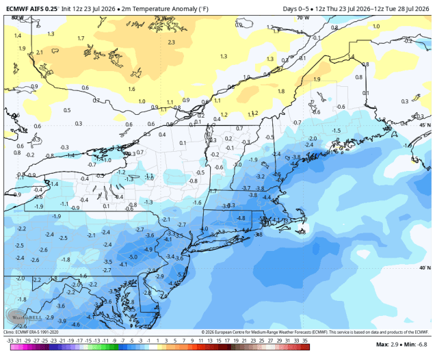
High pressure in the Great Lakes will slide eastward over the next few days. The result will be sunshine, low humidity, and mild temperatures for Friday, Saturday, and Sunday as well. There could be a little haze from wildfire smoke at times, but nothing like what we had a couple of weeks ago. By Monday, the next system will begin approaching. We’ll see some clouds start to move in, with a chance for showers and thunderstorms late in the day as a warm front approaches.
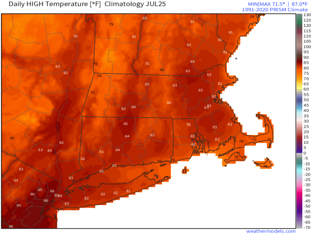
Thursday night: Clear skies. Low 55-62.
Friday: Sunshine and a few afternoon clouds. High 79-86.
Friday night: Clear to partly cloudy. Low 56-63.
Saturday: Plenty of sunshine. High 77-84.
Saturday night: Partly cloudy. Low 54-61.
Sunday: A mix of sun and clouds. High 76-83.
Sunday night: Clear to partly cloudy. Low 55-62.
Monday: Partly sunny, chance for showers and thunderstorms towards evening. High 79-86.
 Storm HQ