Our extended stretch of dry weather is over, but the warm weather continues for at least another day.
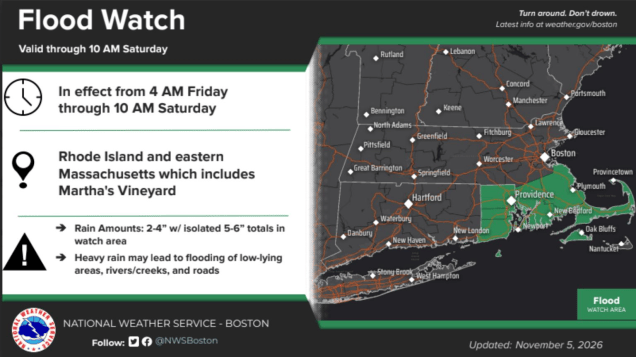
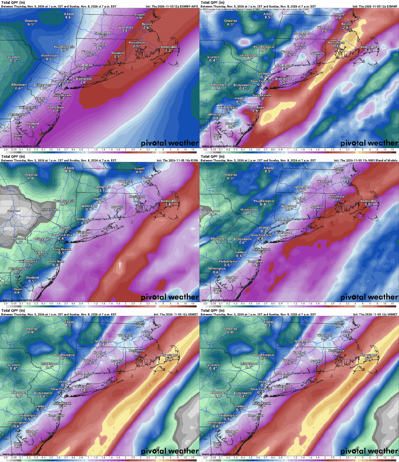
Low pressure heading across southern Canada is dragging a cold front our way, but that front will take its time crossing the region, likely not moving offshore until Friday night or early Saturday. Ahead of it, we’ll remain quite mild and humid for another day, before cooler air starts to move in for the weekend. A few showers are likely ahead of the front this evening and tonight, but the steadier and heavier rain is expected during the day on Friday as a wave of low pressure begins to ride up the front. The heaviest rain is expected in the I-95 corridor and points south and east, including Rhode Island, southeastern Massachusetts, and Cape Cod. Rainfall totals of 1-2 inches are possible in this area, and a Flood Watch has been issued. Some of the latest models are showing the potential for even higher amounts, which is why the Flood Watch was issued. Rivers are not running that high, and the ground remains fairly dry due to the lack of rainfall, but that much rain in a short period of time will result in localized flooding in the spots that usually have troubling draining, but storm drains and catch basins could also get clogged due to the leaves all falling from the trees.
The rain ends Saturday morning, and while we may see some sunny breaks, an upper-level low pressure system will move in, keeping plenty of clouds around, with more showers possible late in the day and into the night time. Those showers should end on Sunday as low pressure moves into the Gulf of Maine and pulls away, ushering cooler air into the region. Another weak disturbance moves through on Monday with more clouds, but aside from a sprinkle or two, it should remain dry.
Thursday night: Cloudy with showers likely. Low 56-63.
Friday: Periods of rain across Rhode Island and southeastern Massachusetts, some of it heavy, showers with occasional periods of steadier rain elsewhere. High 65-72.
Friday night: Rain tapers off to showers, ending towards daybreak. Low 49-56.
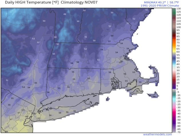
Saturday: A few lingering showers in eastern areas early, then lots of clouds with a few sunny breaks. Some showers redevelop late in the day. High 57-64.
Saturday night: Cloudy with more showers. Low 40-47.
Sunday: Showers end in the morning, becoming partly sunny in the afternoon, breezy. High 53-60.
Sunday night: Clear to partly cloudy. Low 37-44.
Monday: A mix of sun and clouds, breezy, slight chance for a sprinkle. High 52-59.

