Weekly Outlook: September 14-20, 2026

As we head down the home stretch of summer, a rather nice week is expected across the region.

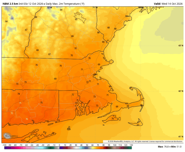
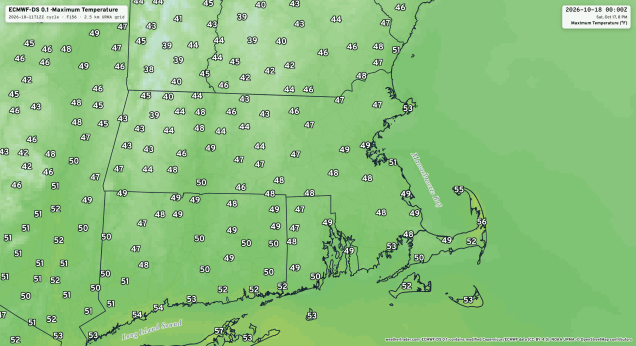
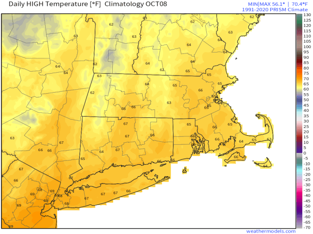
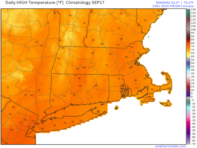
High temperatures should be in the lower to middle 70s in mid September. Image provided by weathermodels.com.

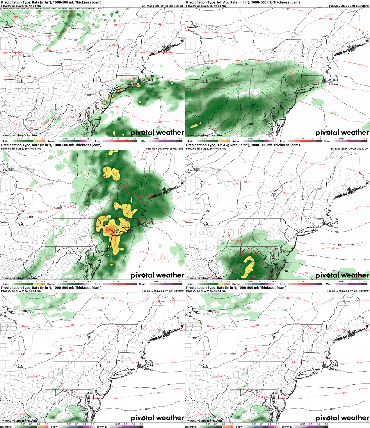
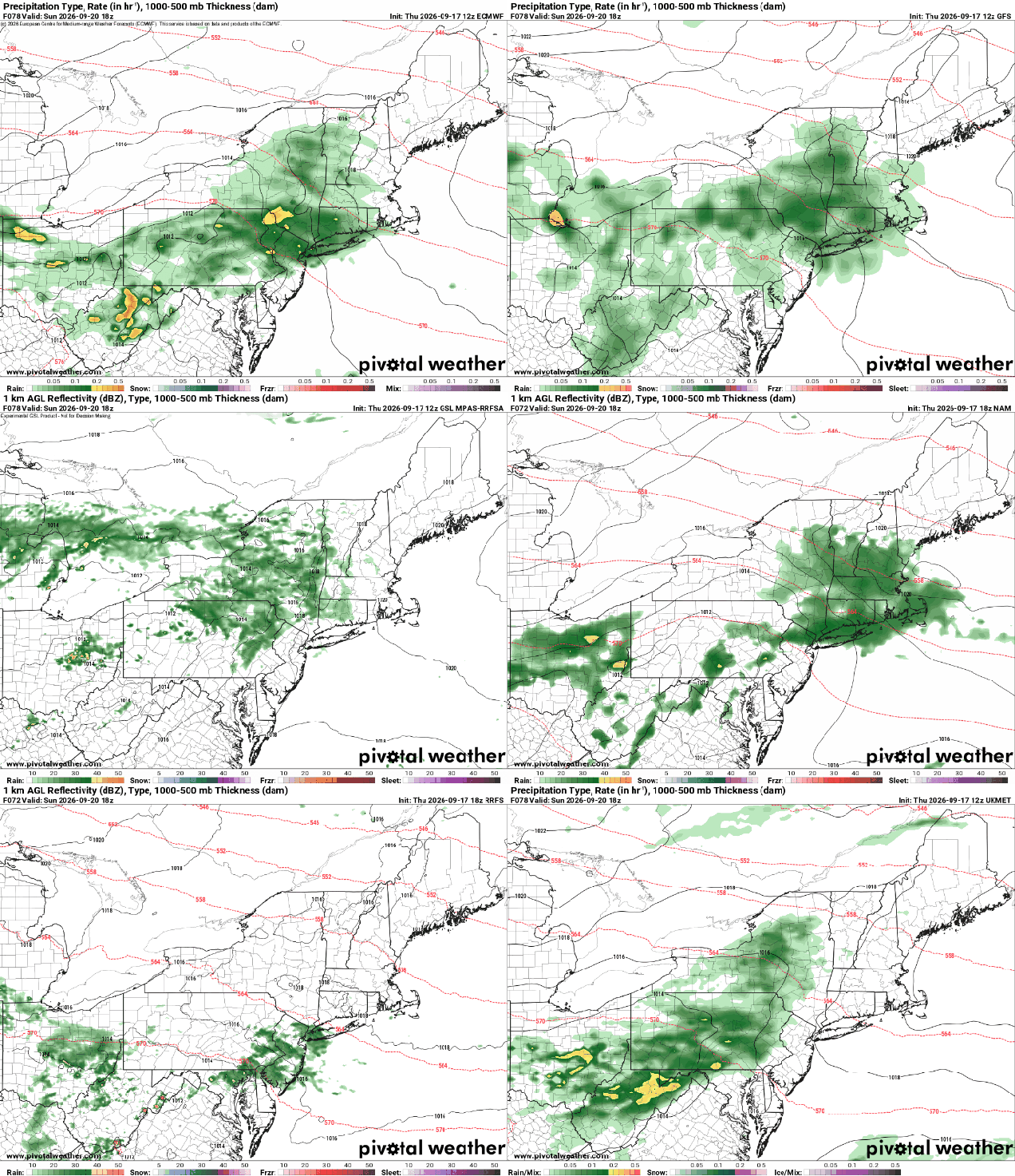
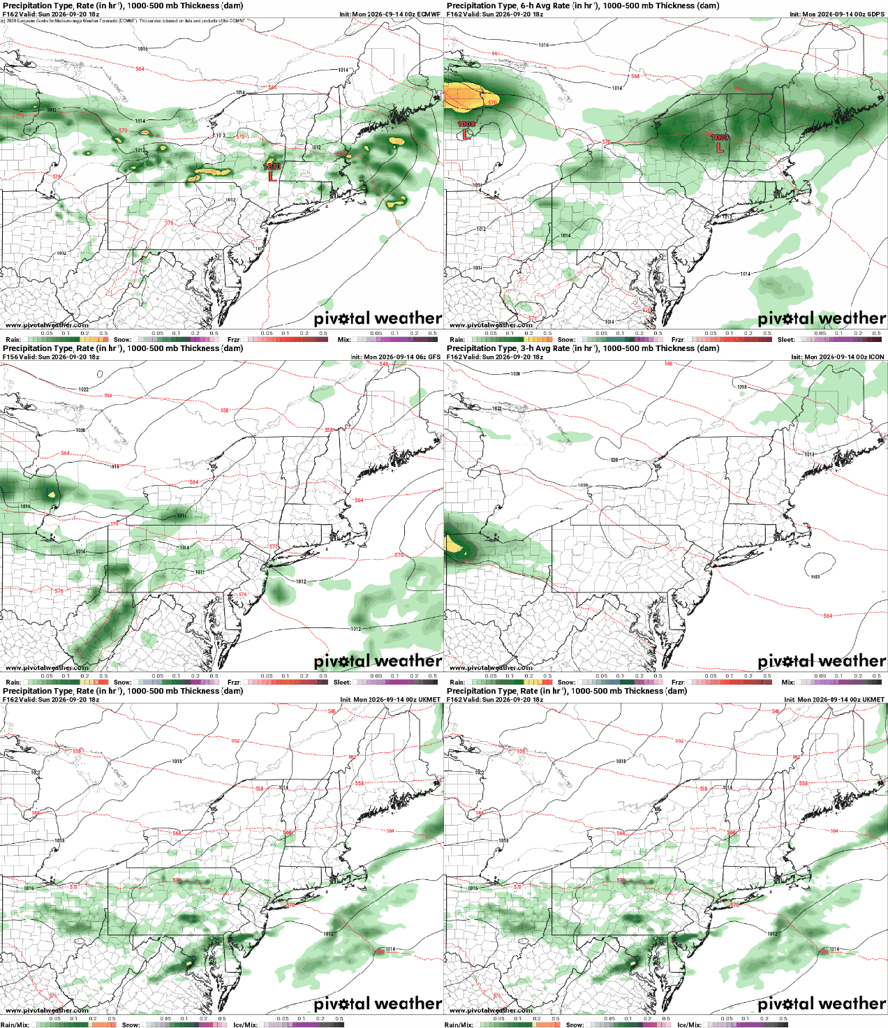
The last full week of astronomical summer is upon us, and while signs of fall are starting to pop up everywhere – a few leaves starting to change color, the Patriots have started their season, the Bruins open training camp this week, pumpkin-flavored everything has invaded – much of this week will still feel like later summer. Astronomical fall actually begins next Tuesday, September 22, at 8:05pm with the Autumnal Equinox. For this week, we’ve got high pressure in control through at least Wednesday after a cold front pushes offshore this morning. That front may produce a few showers early today, otherwise we’re looking at plenty of sunshine for the next few days. Temperatures will be a little cool into Tuesday, but as the high moves offshore, a warmup begins. A weak system moves through on Thursday with a few late-day showers, then high pressure returns for Friday and Saturday. Another system may bring in some additional showers late Saturday into Sunday morning, but for now, we’re cautiously optimistic that it will be dry by the time the Patriots home opener kicks off at 1:00pm.

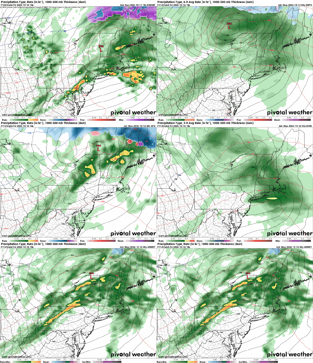
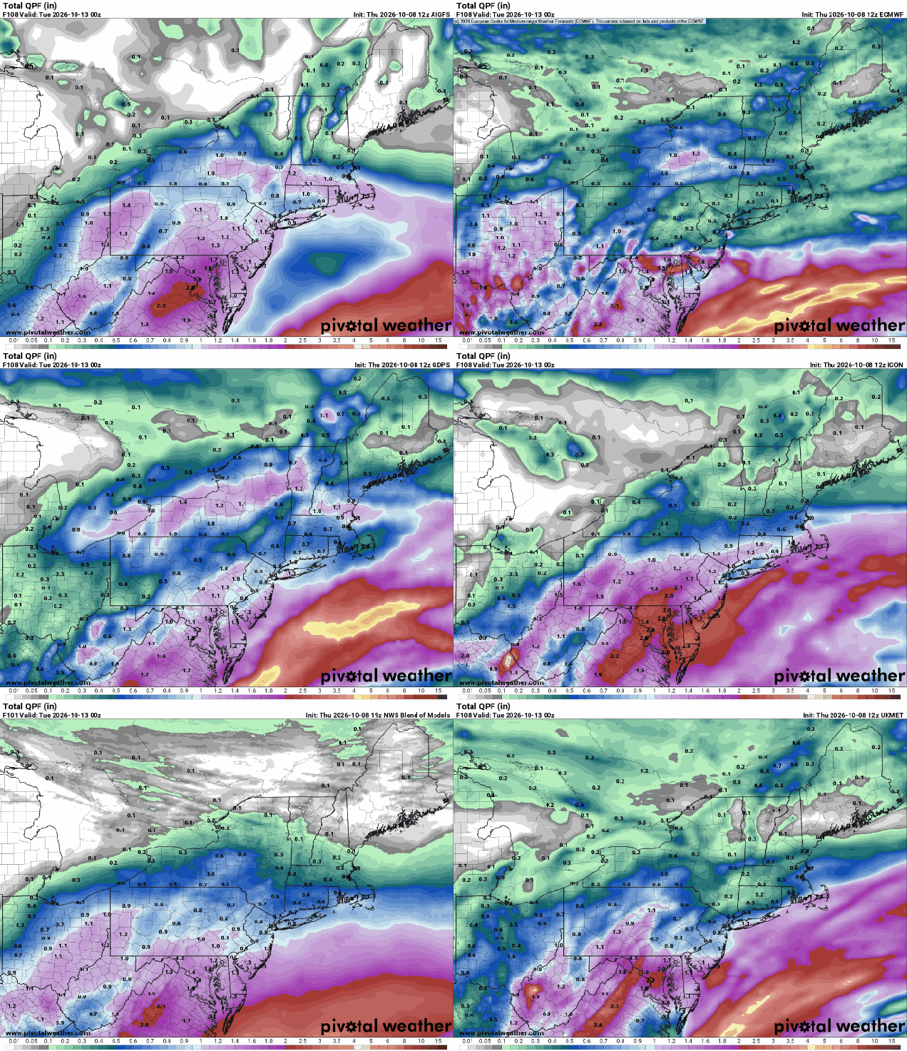
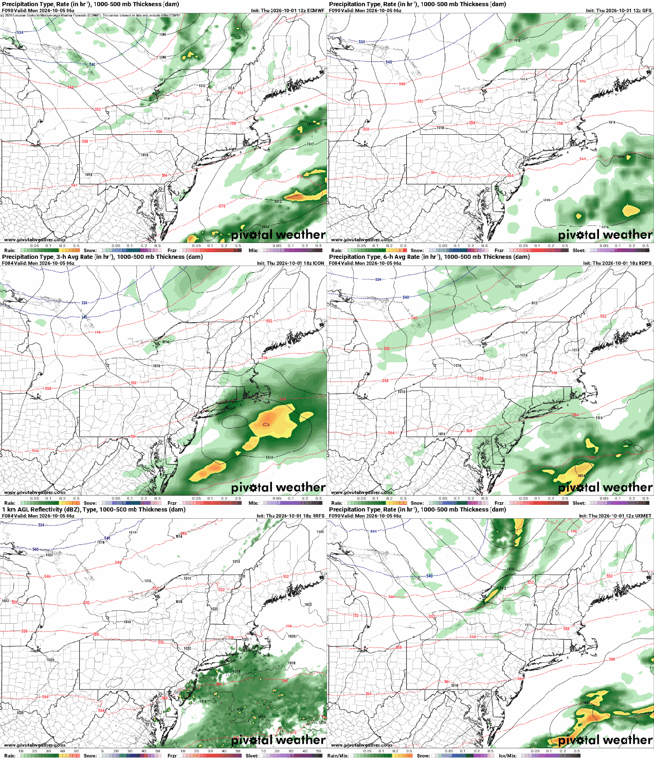
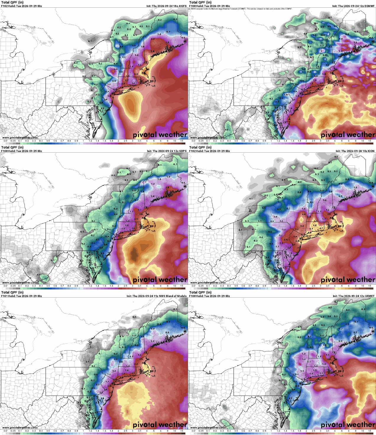
Some, but not all, of the models show dry weather for kickoff of the Patriots home opener on Sunday. Images provided by Pivotal Weather.

Monday: Morning clouds, a shower or two, then becoming sunny and breezy. High 69-76.

Monday night: Clear skies, diminishing winds. Low 44-51, mildest in urban areas and right along the coast.

Tuesday: Sunshine and a few clouds. High 64-71.

Tuesday night: Clear to partly cloudy. Low 48-55.

Wednesday: Mostly sunny. High 73-80, cooler near the South Coast and Cape Cod.

Wednesday night: Partly cloudy. Low 57-64.

Thursday: Partly sunny, a late-day shower is possible. High 73-80.

Thursday night: Partly to mostly cloudy, chance for a few showers during the evening. Low 59-66.

Friday: A mix of sun and clouds. High 71-78.

Saturday: Partly sunny, showers possible late in the day and at night. High 66-73.

Sunday: Showers end in the morning, some sunny breaks develop in the afternoon. High 66-73.

Weekend Outlook: September 11-14, 2026

Once again, we’re looking at a weekend that is mostly, but not completely, dry and mild.

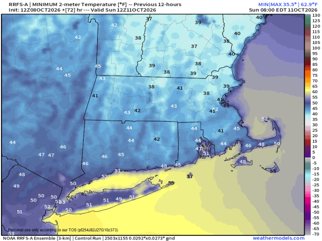
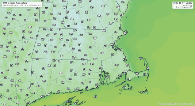
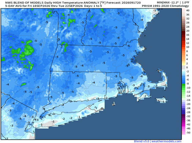
Saturday morning could be on the cool side. Image provided by weathermodels.com.

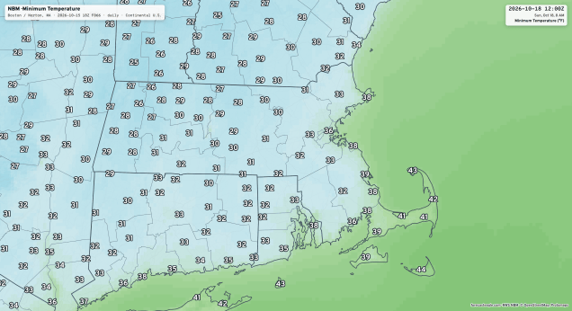
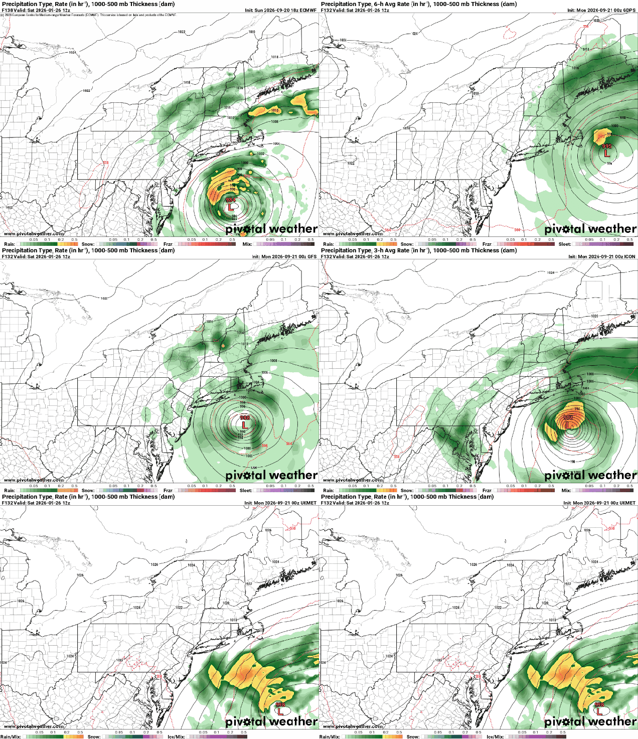
High pressure settles in with drier and cooler weather tonight, lasting into a good portion of Saturday. Some clouds may hang around tonight with a wave of low pressure running along an offshore frontal system. Friday will be a Chamber of Commerce type day with sunshine, seasonably mild temperatures, and low humidity. With clear skies and light winds, Friday night will be cool, with some places likely dropping into the 40s by daybreak. Saturday will start off with some sunshine, but we’ll see clouds start to stream in during the afternoon ahead a low pressure system heading our way. Some showers are likely Saturday night into Sunday morning, ending from west to east by early afternoon. There is the potential for some heavy downpours, especially during the overnight hours, mostly likely near the South Coast. We’ll clear out at night, then high pressure builds in with sunshine and mild temperatures again on Monday.

Saturday night and early Sunday are looking wet right now. Images provided by Pivotal Weather.

Thursday night: Clear to partly cloudy. Low 56-63.

Friday: Sunshine and a few clouds. High 71-78.

Friday night: Clear and cool. Low 48-55.

Saturday: Sunny through the morning, clouds start to move in during the afternoon. High 71-78.

Saturday night: Mostly cloudy with showers developing. Low 59-66.

Sunday: Showers ending from west to east during the morning, some sunny breaks develop late in the day. High 71-78.

Sunday night: Partly cloudy. Low 58-65.

Monday: Partly to mostly sunny. High 70-77.

Weekly Outlook: September 7-13, 2026

We’ve got some nice weather for Labor Day, but things will go downhill later this week.

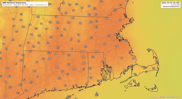
Temperatures will be above normal for most of the week. Image provided by WeatherBell.

Upper-level low pressure continues to pull away today with high pressure building in, giving us some very nice weather for Labor Day. Sunshine with a few clouds and seasonably mild temperatures are expected, with similar conditions on Tuesday, though it’ll be a few degrees warmer. By Wednesday, we’ll see some clouds moving in as a frontal system begins dropping down from the north. A couple of upper-level disturbances will move through, bring us some episodes of showers between late Wednesday and early Friday. These waves will lift the front northward, allowing milder air to return. We could see some gusty winds with the second disturbance on Thursday. High pressure returns later Friday into the weekend with drier and cooler conditions.

Most of the models do not show much rain between Wednesday and Friday.

Monday: Sunshine and a few afternoon clouds. High 72-79.

Monday night: Clear skies during the evening, becoming partly cloudy overnight. Low 54-61.

Tuesday: A mix of sun and clouds. High 74-81.

Tuesday night: Partly cloudy. Low 55-62.

Wednesday: Some morning sun, then becoming mostly cloudy and breezy late in the day with a chance for a few showers by evening. High 73-80.

Wednesday night: Lots of clouds with showers likely, breezy. Low 64-71.

Thursday: More clouds than sunshine, breezy, chance for more showers, especially during the afternoon. High 77-84.

Thursday night: Showers ending, some late-night clearing. Low 56-63.

Friday: Becoming partly to mostly sunny. High 70-77.

Saturday: A mix of sun and clouds. High 70-77.

Sunday: Partly sunny. High 76-83.

Weekly Outlook: August 31 – September 7, 2026

Summer’s going fast, night’s growing colder

Rush wrote that lyric in the song “Time Stand Still”, but it’s appropriate for where we are now, as some cooler weather is on the way as we flip the calendar to September and the beginning of meteorological autumn.

Temperatures will be below normal for much of this week. Image provided by WeatherBell.

A backdoor cold front will drop southward today, likely stalling out just south and west of the region. The front will be accompanied by just a few clouds, but behind it, cooler air will settle in, especially near the east coast. A couple of waves of low pressure will ride along the front, keeping lots of clouds in place with some episodes of showers and a few thunderstorms at times between Monday night and Thursday. The last wave will lift the front northward as a warm front on Thursday, before a stronger cold front moves through late in the day, with some additional showers and thunderstorms. High pressure then builds in at the surface, but an upper-level low will settle into the Northeast for Friday and Saturday, possibly Sunday as well. The result will be sunshine each morning, some clouds build up, and a few spotty showers developing. For Labor Day, high pressure should result in dry and seasonably mild weather.

Several episodes of showers and thunderstorms are likely over the next few days. Loop provided by Weathermodels.com

Monday: A mix of sun and clouds. High 75-82, cooler near the east coast, especially in the afternoon.

Monday night: Becoming mostly cloudy, showers developing. Low 60-67.

Tuesday: Cloudy with some showers and thunderstorms likely, mostly in the morning. High 68-75.

Tuesday night: Plenty of clouds with a few showers. Low 57-64.

Wednesday: Partly to mostly cloudy, showers and thunderstorms likely, mostly in the afternoon. High 68-75.

Wednesday night: Cloudy with more showers and thunderstorms. Low 59-66.

Thursday: Intervals of clouds and sun with another round of showers and thunderstorms expected. High 75-82.

Thursday night: Showers and storms end in the evening, becoming partly cloudy overnight. Low 60-67.

Friday: Partly sunny, chance for a shower or thunderstorm. High 72-79.

Saturday: Intervals of sun and clouds, a shower or thunderstorm possible in the afternoon. High 68-75.

Sunday: A mix of sun and clouds, chance for an afternoon shower or thunderstorm. High 69-76.

Labor Day: Partly to mostly sunny. High 73-80.

Weekly Outlook: November 3-9, 2025

The weather pattern will turn a bit more active this week.

Average high temperatures in early November are in the mid-50s. Image provided by Weathermodels.com

We’re starting off dry today as high pressure slides offshore, but there are two systems heading our way. Low pressure heading up the East Coast will pass by the region later today, producing some light rain across parts of eastern Massachusetts and Rhode Island. At the same time, another system crossing southeastern Canada will send a cold front our way, with some additional rain showers across much of the region tonight. Behind the front, breezy and cooler conditions are likely as high pressure builds in for Tuesday. Another system quickly follows for late Wednesday and Wednesday night, with another round of rain showers, with gusty winds likely behind the system on Thursday. High pressure builds back in, and as it moves eastward, winds will shift into the southwest on Friday, allowing milder air to move back in. It will be short-lived though, as another cold front brings in some showers for Friday night. Saturday should be another dry and cooler day, but yet another system follows on Sunday with another round of showers expected.

Storms will move through the region every other day this week. Loop provided by Pivotal Weather.

Monday: Becoming mostly cloudy with showers developing in the afternoon, mainly across eastern Massachusetts and Rhode Island. High 53-60.

Monday night: Showers end in the evening, skies clear out after midnight, breezy. Low 39-46.

Tuesday: Plenty of sunshine, breezy. High 50-57.

Tuesday night: Clear to partly cloudy. Low 36-43.

Wednesday: Increasing clouds. High 53-60.

Wednesday night: Cloudy and becoming breezy with scattered showers. Low 38-45.

Thursday: Becoming partly to mostly sunny, breezy. High 47-54.

Thursday night: Partly cloudy. Low 28-35.

Friday: Partly sunny in the morning, then clouds thicken up, showers possible at night. High 51-58.

Saturday: Morning showers, then clouds give way to some afternoon sun. High 54-61.

Sunday: Partly to mostly cloudy with a chance for more showers. High 52-59.