We’ve got another very simple forecast for the next few days.
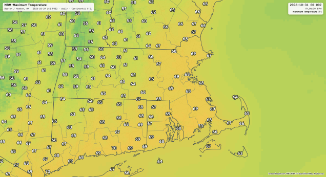
A moisture-starved cold front is heading our way and will cross the region early Friday with some clouds, and possibly a sprinkle or two, but we’ll still have a rather mild day. Behind it, high pressure builds in for the weekend with cooler and still dry conditions. For trick-or-treating Saturday evening, we’ll have clear skies, light winds, and temperatures in the lower 50s late afternoon, dropping into the upper 40s during the evening. Then, we change the clocks back at 2am Sunday with the end of Daylight Saving Time. High pressure slides offshore Sunday evening (which starts with a sunset around 4:30pm), then we get a milder, but still dry, day on Monday.
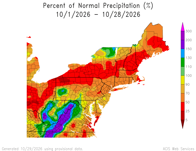
Thursday night: Becoming partly to mostly cloudy, slight chance for a late-night shower, favoring southern New Hampshire and the Merrimack Valley. Low 49-56 during the evening, temperatures hold steady or rise a little after midnight.
Friday: Morning clouds, then becoming sunny, breezy. High 63-70.
Friday night: Clear skies. Low 35-42.
Saturday: Plenty of sunshine, cooler. High 51-58.
Saturday night: Clear to partly cloudy. Low 26-33, a little milder in urban areas and along the coast.
Sunday: Sunshine and a few clouds. High 53-60.
Sunday night: Clear to partly cloudy. Low 35-42, a little milder in urban areas and along the coast.
Monday: A mix of sun and clouds. High 61-68.

