Once again, we’re looking at a weekend that is mostly, but not completely, dry and mild.
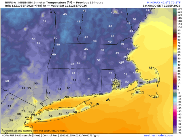
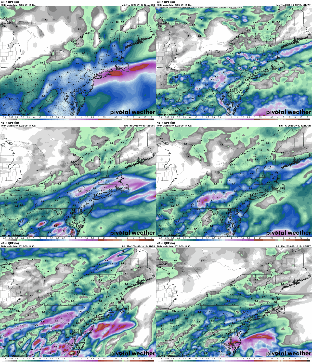
High pressure settles in with drier and cooler weather tonight, lasting into a good portion of Saturday. Some clouds may hang around tonight with a wave of low pressure running along an offshore frontal system. Friday will be a Chamber of Commerce type day with sunshine, seasonably mild temperatures, and low humidity. With clear skies and light winds, Friday night will be cool, with some places likely dropping into the 40s by daybreak. Saturday will start off with some sunshine, but we’ll see clouds start to stream in during the afternoon ahead a low pressure system heading our way. Some showers are likely Saturday night into Sunday morning, ending from west to east by early afternoon. There is the potential for some heavy downpours, especially during the overnight hours, mostly likely near the South Coast. We’ll clear out at night, then high pressure builds in with sunshine and mild temperatures again on Monday.
Thursday night: Clear to partly cloudy. Low 56-63.
Friday: Sunshine and a few clouds. High 71-78.
Friday night: Clear and cool. Low 48-55.
Saturday: Sunny through the morning, clouds start to move in during the afternoon. High 71-78.
Saturday night: Mostly cloudy with showers developing. Low 59-66.
Sunday: Showers ending from west to east during the morning, some sunny breaks develop late in the day. High 71-78.
Sunday night: Partly cloudy. Low 58-65.
Monday: Partly to mostly sunny. High 70-77.

