The last 4 days of meteorological summer are upon us, and for the most part they’ll be good.
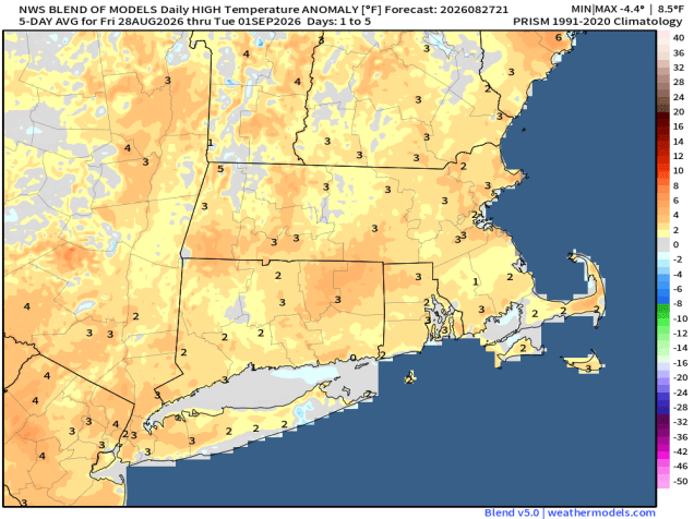
A frontal system will slowly move across the region over the next 24 hours. This system will produce showers and thunderstorms to our west through the evening, some of which could be strong to severe, but only a few widely scattered showers are expected across our area overnight. On Friday, we’ll see a few more showers and thunderstorms during the afternoon, but the bulk of the day should be dry. High pressure then builds in for the weekend with drier and seasonably warm conditions. As we get into Monday, a backdoor cold front will start dropping southward. Temperatures will depend on how quickly the front moves in, but only a few showers will accompany it, so most of the day should remain dry.
Thursday night: Partly to mostly cloudy with some widely scattered showers and areas of patchy fog. Low 64-71.
Friday: Partly sunny, a few showers and thunderstorms likely, mostly in the afternoon. High 78-85.
Friday night: Showers and storms end in the evening, becoming partly cloudy. Low 56-63.
Saturday: Partly to mostly sunny. High 74-81.
Saturday night: Clear to partly cloudy. Low 57-64.
Sunday: Sunshine and some afternoon clouds. High 78-85.
Sunday night: Partly cloudy. Low 61-68.
Monday: Intervals of clouds and sun with some showers likely. High 75-82.

