This does not look like a good week for a vacation.
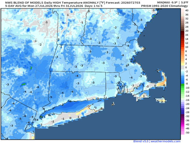
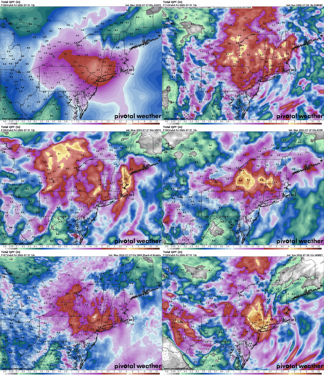
We start the week off with dry and seasonably warm conditions as warm front moves across the region, bring some clouds in. Those clouds will thicken up at night as low pressure heads toward the Great Lakes. Showers and thunderstorms will develop ahead of the system on Tuesday, but as an upper-level low moves into the Midwest, the surface low pressure system will redevelop over the Mid-Atlantic states and head northeastward. The result is a rainy day on Wednesday, possibly quite a bit of rain. Some models show the potential for several inches of rain, resulting in flooding for some areas. The system will be slow to move out on Thursday with more showers likely, ending in the evening. Skies finally start to clear out on Friday the high pressure brings drier and milder air for the weekend.
Monday: Sunshine fades behind increasing high clouds. High 79-86, cooler near the coast.
Monday night: Becoming partly to mostly cloudy. Low 59-66.
Tuesday: Partly to mostly cloudy and breezy with showers and thunderstorms developing. High 77-84.
Tuesday night: Scattered showers. Low 60-67.
Wednesday: Breezy with rain likely. High 69-76.
Wednesday night: Rain tapers off to showers. Low 59-66.
Thursday: Cloudy and breezy with more showers. High 70-77.
Thursday night: Cloudy, showers taper off. Low 59-66.
Friday: Becoming partly sunny. High 73-80.
Saturday: A mix of sun and clouds. High 78-85.
Sunday: Partly sunny. High 78-85.

