The final week of May (and meteorological Spring), will feature changeable conditions as we head through the week.
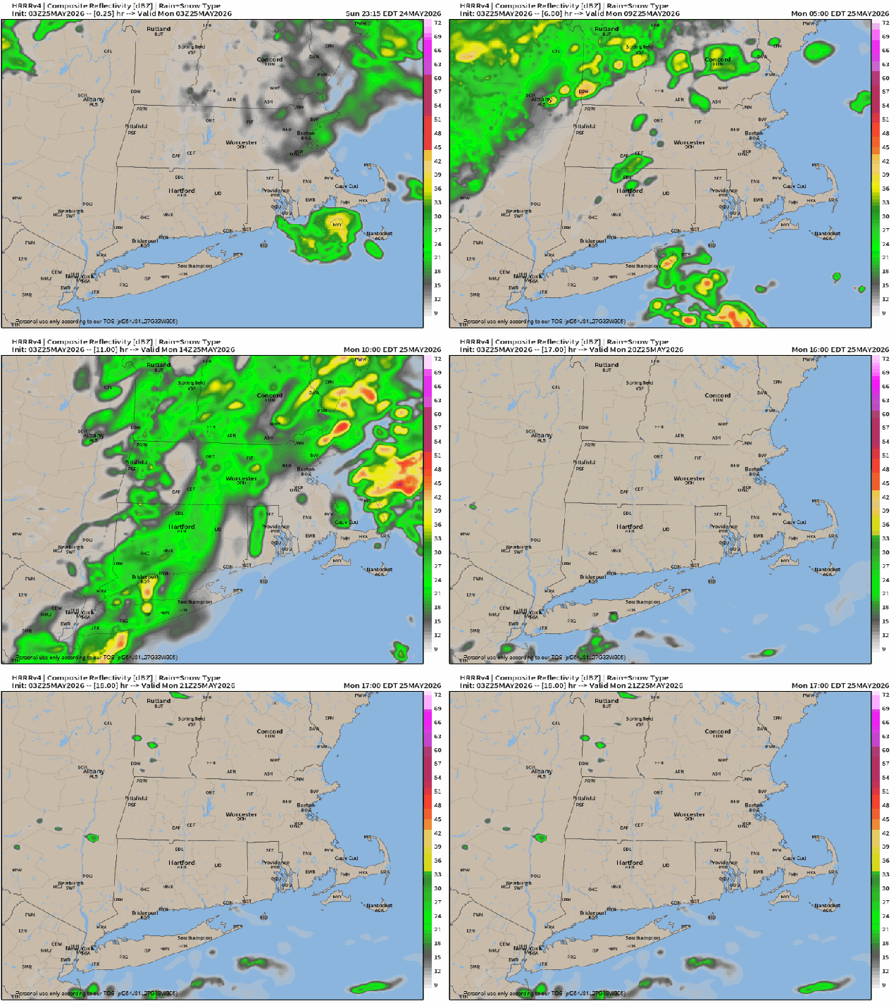
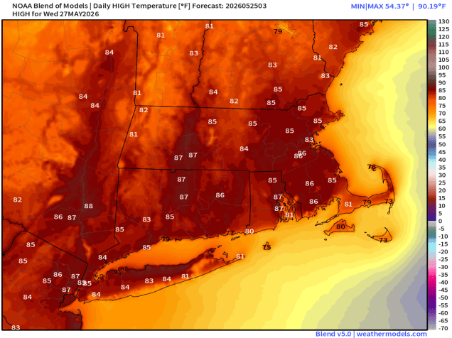
Low pressure will slowly pull away from the region today, so we’ll start the day off with some rain and a few thunderstorms, but they should wind down by midday, with skies starting to clear from west to east during the afternoon and evening, salvaging some of the day for outdoor activities. High pressure builds in for Tuesday, with sunshine and warmer temperatures. Wednesday looks to be a fairly warm day ahead of a cold front with clouds moving in during the daytime. While the front may trigger a few late-day showers, there may not be a lot of moisture associated with the front, so a widespread soaking rainfall is not expected.
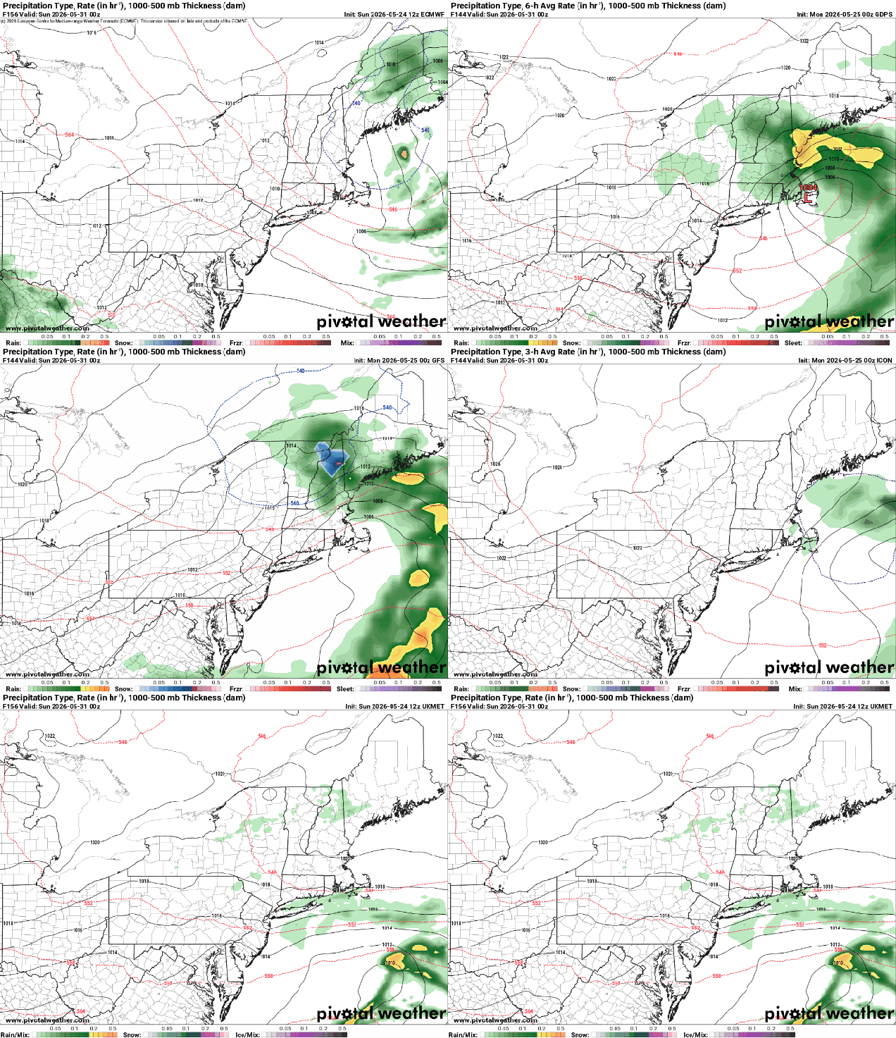
Later Thursday and Friday look unsettled at this point. An upper-level low pressure system will drop into Atlantic Canada, with a surface low pressure system developing east of New England. This may result in plenty of clouds, cooler temperatures, and some showers, but this is far from certain at this point, as the models do not agree on how this system will develop. A second system will drop southward from Canada on Friday with even cooler temperatures and additional rain. High pressure should return for the weekend with cool temperatures, but if the system on Friday is slow to depart, clouds and rain could linger into early Saturday.
Note: Hurricane Season begins next Monday, June 1. As always, we’ll have an extensive blog post with a review of last year’s season, what to expect this season, and some statistics detailing how the region is extremely overdue for a hurricane to come calling. Expect to see that published at some point later this week.
Monday: Showers likely through midday, skies start to clear out by late afternoon. High 67-74.
Monday night: Partly cloudy. Low 51-58.
Tuesday: Mostly sunny. High 76-83, a little cooler near the South Coast and across Cape Cod.
Tuesday night: Becoming partly cloudy. Low 56-63.
Wednesday: A mix of sun and clouds, chance for a late-day shower. High 79-86, a little cooler near the South Coast and across Cape Cod.
Wednesday night: Partly cloudy. Low 54-61.
Thursday: Partly sunny, cooler. High 65-72.
Thursday night: Partly to mostly cloudy, chance for a few showers. Low 47-54.
Friday: More clouds than sun with a better chance for showers, especially later in the day and at night. High 62-69.
Saturday: Chance for a few showers early, then becoming partly sunny. High 60-67.
Sunday: A mix of sun and clouds. High 61-68.

