Some fairly typical summertime weather continues for a few more days, but relief arrives at the end of the week.
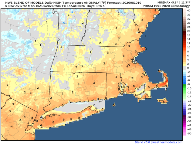
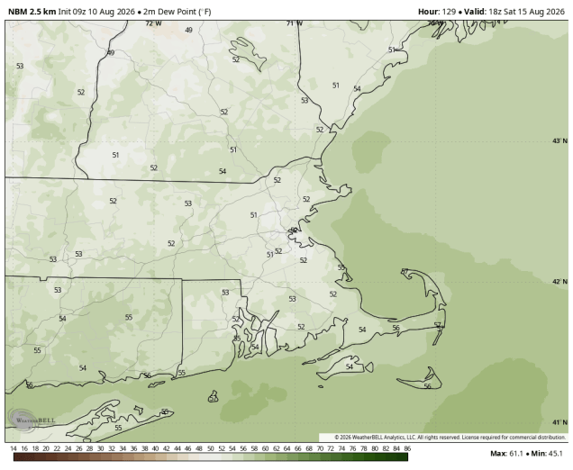
The cold front that moved through yesterday bringing some drier air into the region will lift back northward as a warm front today, allowing the humidity to return. As the humid air returns we could see a few showers and thunderstorms this evening, but they’ll be weakening as they move in from the west, and might not make it all the way to the coastline. Another weak cold front moves through early Tuesday, with sunshine and drier weather for Tuesday and Wednesday. It will be hazy at times as more high-level smoke from wildfires in the West drifts into the region. Thursday will see a stronger cold front move into the region. It’ll be warm and humid ahead of it, with more showers and thunderstorms likely. The timing of the front will be key in determining whether we get any severe weather. Right now, it looks like the front moves through by early afternoon, but if it were delayed by a few hours, allowing additional time for the atmosphere to become unstable, severe weather would become more likely. This is something we’ll be keeping an eye on for the next few days. Behind the front, cooler and drier air settles in for Friday and Saturday. We’ll be watching another system moving out of the Midwest that could bring in some showers and thunderstorms later on Sunday.
Monday: Hazy sunshine in the morning, clouds start to move in by late afternoon. High 83-90.
Monday night: Chance for a shower or thunderstorm in the evening, partly cloudy overnight. Low 66-73.
Tuesday: Hazy sunshine and some afternoon clouds. High 82-89.
Tuesday night: Partly cloudy. Low 61-68.
Wednesday: Sunshine and some afternoon clouds. High 80-87.
Wednesday night: Partly cloudy. Low 62-69.
Thursday: A mix of sun and clouds, a few showers and thunderstorms likely. High 80-87.
Thursday night: Becoming clear. Low 60-67.
Friday: Mostly sunny, breezy, not as humid. High 78-85.
Saturday: Sunshine and a few clouds. High 74-81.
Sunday: Partly sunny, chance for late-day showers and thunderstorms. High 73-80.

