The first full weekend of summer will feature some nice weather for part, but not all of the weekend.
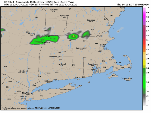
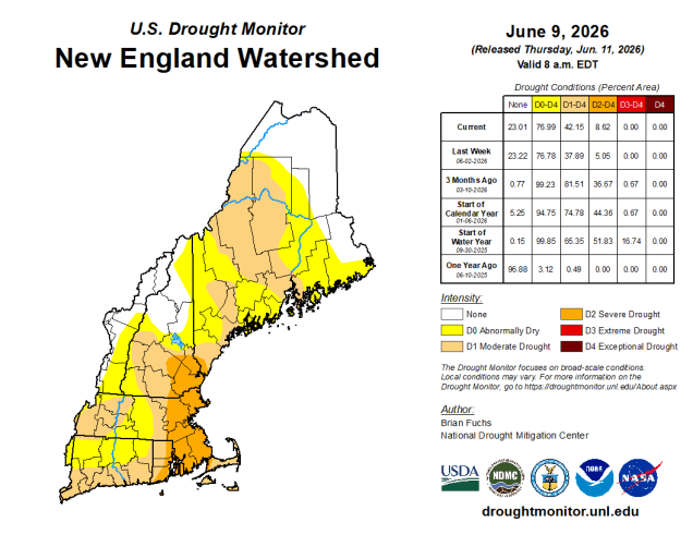
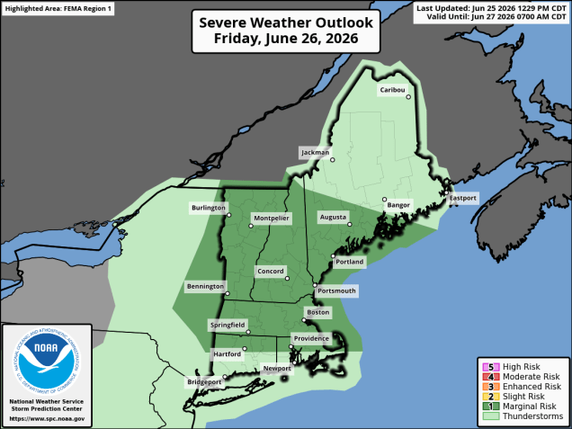
Low pressure heading into southeastern Canada will send a warm front our way tonight. Clouds will thicken up ahead of it with some showers and thunderstorms likely overnight and into Friday morning as the front moves through. Warm and humid air then moves in for Friday, but how much sunshine we’ll see is a question and that has a big impact on the forecast. Obviously more sunshine will lead to warmer temperatures, but with a cold front approaching later in the day, we’ll have the potential for some severe weather. The more sunshine, the higher the risk. The biggest threats with any storms will be damaging winds, hail, and heavy downpours. We need all the rain we can get to help with the ongoing drought, but too much in a short period of time will result in flooding, as we saw in Fall River a few days ago.
The front will slow down as it pushes offshore Friday night and another wave of low pressure will ride along it, bringing some showers to parts of Rhode Island and southeastern Massachusetts Saturday morning. They could get as far north as Route 44, but this is uncertain at this point. We should see clearing from northwest to southeast in the afternoon. High pressure builds in with drier weather for Sunday and Monday, though we could see a few popup showers or thunderstorms Sunday afternoon with an upper level disturbance moving across the Northeast.
Thursday night: Becoming mostly cloudy with showers and thunderstorms developing after midnight. Low 58-65.
Friday: Showers end in the morning, then intervals of clouds and sunshine with a chance for more showers and thunderstorms, some possibly strong to severe, late in the day. High 74-81.
Friday night: Mostly cloudy, any lingering showers end in the evening. Low 60-67.
Saturday: Morning clouds with showers across parts of Rhode Island and southeastern Massachusetts, then skies start to clear out from northwest to southeast. High 73-80.
Saturday night: Becoming partly cloudy. Low 56-63.
Sunday: Partly to mostly sunny, slight chance for an afternoon shower or thunderstorm. High 77-84.
Sunday night: Clear skies. Low 58-65.
Monday: Sunshine and a few clouds. High 81-88, cooler along the coast.