As is typically the case in Spring around here, the only constant this weekend is that things will keep changing.
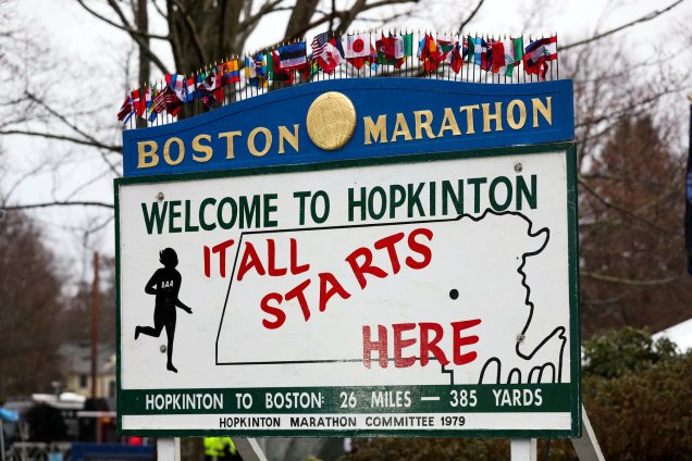
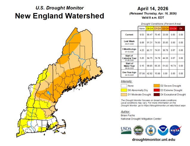
A frontal system remains in place this evening, separating unseasonably warm weather across southern and western portions of the region from much cooler air to the north. Another wave of low pressure will ride along that front, bringing in another round of showers and thunderstorms this evening and tonight. This will help to put a dent in the ongoing drought, and also keep the brush fire danger on the low side. A cold front moves through on Friday, producing a few more showers, but finally bringing an end to our up and down temperatures we’ve had over the past week. Now, they’ll just be down. Saturday looks to be a much cooler day behind the front, with plenty of clouds around, and possibly a few showers or some drizzle, mainly across eastern areas, thanks to onshore flow off the chilly Atlantic. A stronger cold front will head towards the region on Sunday. Some occasional showers are likely during the daytime, with a steadier rain likely accompanying the front in the evening. A rather chilly airmass will filter in behind the front for Patriots Day. An upper-level disturbance will cross the region during the day, generating some clouds, and possibly a few sprinkles or even some snow flurries. While the weather may not be ideal for the runners in the Boston Marathon (or the fans for the Red Sox traditional 11:05am game), it could be a lot worse.
Thursday night: Partly to mostly cloudy with some showers and thunderstorms likely, mostly before midnight. Low 53-60.
Friday: Intervals of clouds and sun with scattered showers. High 68-75, cooler at the coast and across Cape Cod, temperatures start to fall in the afternoon.
Friday night: Partly to mostly cloudy. Low 44-51.
Saturday: Plenty of clouds with some drizzle and fog, possibly a few showers in eastern areas. High 53-60, cooler along the coast.
Saturday night: Cloudy with more drizzle and fog. Low 41-48.
Sunday: Cloudy and becoming breezy with showers developing, becoming a steadier rain late in the day. High 54-61.
Sunday night: Showers ending, some clearing overnight. Low 30-37.
Monday: Morning sun, then variably cloudy and breezy with a few showers or flurries possible. High 43-50.
