We’ll ride the temperature rollercoaster for a few more days, but changes are on the horizon.
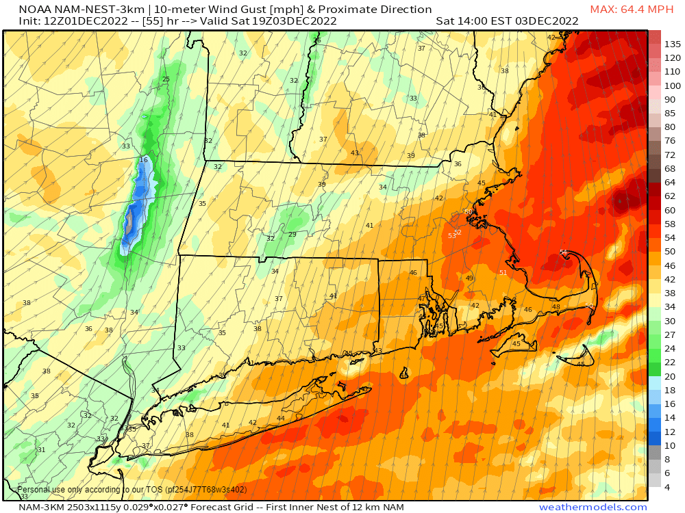
High pressure builds in for tonight and Friday with generally dry and seasonably cool conditions. Winds will gradually diminish this evening, but if you’ll be outdoors, wind chills will be in the 20s, so dress accordingly. Clouds start to move back in Friday night as another low pressure system heads for southeastern Canada. As a result, it’ll turn windy and milder again on Saturday, with some showers likely. Neither the winds nor the rain will be as intense as what we had yesterday, but it’ll still be quite breezy. A cold front moves through late in the day, ending both the rain and the milder air. Gusty northwest winds usher cooler air in for Sunday. As high pressure builds in, the winds will slacken, and it will remain dry and cool for Sunday into Monday.
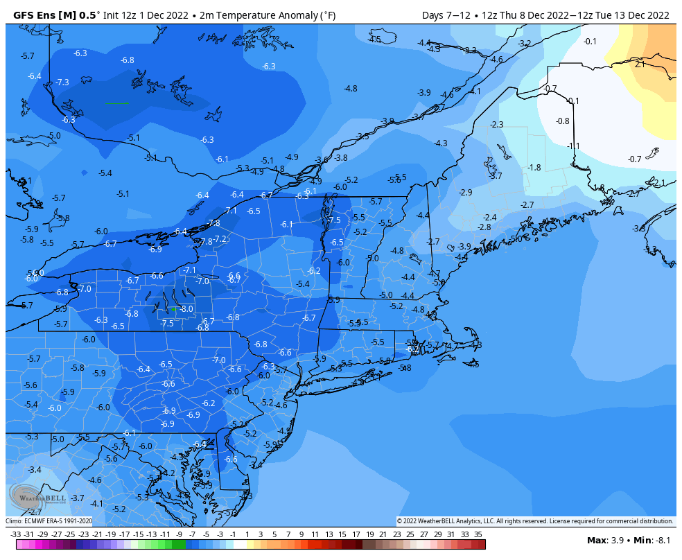
Just a heads up, as it’s beyond the range of this outlook, and we’ll go into more detail in our Weekly Outlook Monday morning, but a large-scale pattern change is looming on the horizon. After another system brings in some rain on Tuesday, much cooler air will start to settle in on Wednesday, and beyond that, a chilly, but for the most part dry, pattern is expected for the middle part of December.
Thursday night: Mostly clear with diminishing winds. Low 23-30.
Friday: Mostly sunny. High 40-47.
Friday night: Increasing clouds. Low 31-38 during the evening, temperatures rise a little after midnight.
Saturday: Mostly cloudy, windy, and mild, with showers likely. High 54-61.
Saturday night: Clearing, breezy. Low 28-35.
Sunday: Sunshine and some afternoon clouds. High 37-44.
Sunday night: Partly cloudy. Low 25-32.
Monday: Partly to mostly sunny. High 41-48.
