Meteorological Winter begins on Thursday, but Mother Nature doesn’t want to bring us any winter weather anytime soon.
A cold front will cross the region today, and although it will have little moisture with it, it will bring breezy and cooler weather in for later today and into Tuesday. We’ll warm back up on Wednesday ahead of another storm system. That system passes to our north and west, with some rain likely late Wednesday and Wednesday night. As colder air settle sin behind the storm, some wet snow may mix in before the precipitation ends across the hills of central Massachusetts and southwestern New Hampshire. High pressure builds in behind that system with chilly weather for Thursday and Friday. We may warm up again on Saturday ahead of yet another cold front that could bring in some showers, with cooler weather returning on Sunday.
Monday: Some clouds around in the morning, becoming mostly sunny and breezy in the afternoon. High 48-55.
Monday night: Clear skies. Low 24-31.
Tuesday: A mix of sun and clouds. High 39-46.
Tuesday night: Partly to mostly cloudy. Low 28-35.
Wednesday: Mostly cloudy and windy with rain developing in the afternoon, ending at night, possibly mixed with some wet snow across the Worcester Hills and the Monadnocks. High 54-61.
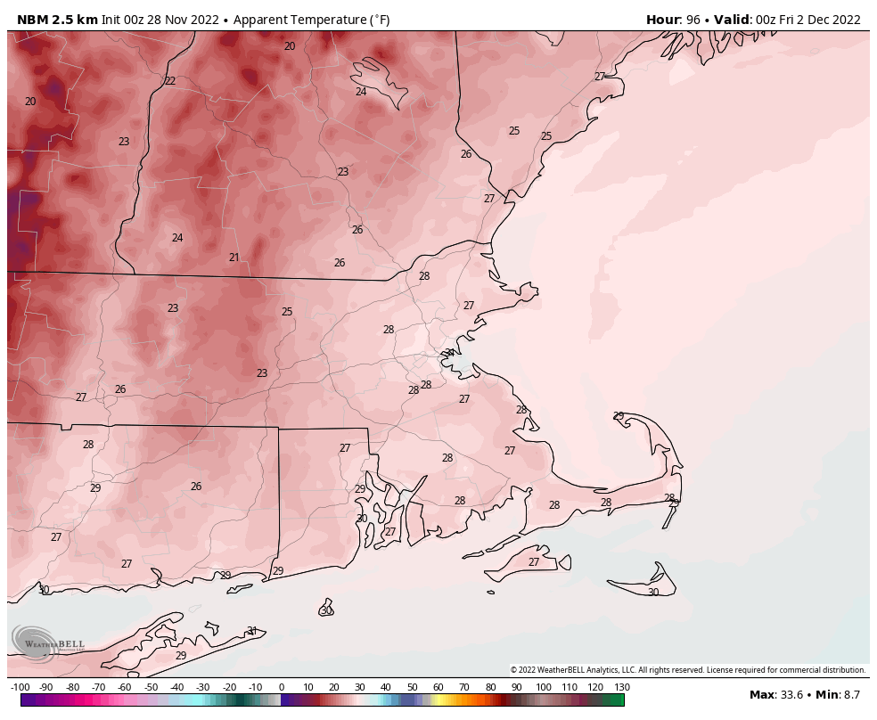
Thursday: Sunshine and a few clouds, windy, much cooler. High 38-45.
Friday: Partly to mostly sunny. High 39-46.
Saturday: Partly to mostly cloudy, breezy, chance for some showers. High 50-57.
Sunday: A mix of sun and clouds. High 42-49.
