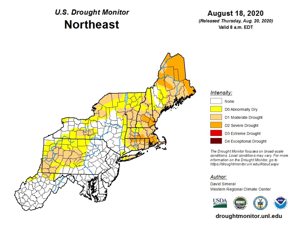
We need some rain, and there’s some in the forecast, but we need a lot more.
With high pressure sliding offshore, a warming trend is expected for Friday into Saturday, along with an increase in humidity levels. We’ll remain sunny on Friday, but may see a few more clouds on Saturday. A shower or thunderstorm may pop up here or there on Saturday, but they’ll be few and far between.
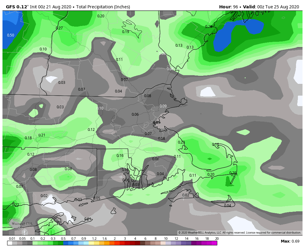
By Sunday, things start to change. An upper-level disturbance will head toward the region, bringing us more clouds, along with some showers and thunderstorms. A few of them may produce gusty winds and downpours, but this does not look like a widespread severe outbreak. It also doesn’t look like the widespread rain that we need, but every little bit helps. A cold front then moves through on Monday, with more showers and thunderstorms possible.
Thursday night: Clear skies. Low 55-62.
Friday: Sunshine and a few afternoon clouds. High 83-90.
Friday night: Clear to partly cloudy. Low 61-68.
Saturday: A mix of sun and clouds, slight chance for an afternoon shower or thunderstorm. High 81-88.
Saturday night: Partly cloudy. Low 61-68.
Sunday: Partly sunny, showers and thunderstorms possible in the afternoon. High 83-90.
Sunday night: Partly cloudy. Low 65-72.
Monday: A mix of sun and clouds, afternoon showers and thunderstorms possible. High 83-90.
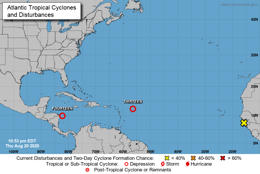
In the tropics, Tropical Depression 14 is moving into the western Caribbean and Tropical Depression 13 is approaching the Leeward Islands. The former will be a threat to parts of Central America and the Yucatan Peninsula this weekend, and the latter to the Leeward Islands as well as Puerto Rico and the Virgin Islands. We’ll have a much more detailed blog post about the tropics Friday afternoon or evening.

We are in the North Conway area of New Hampshire. Some people are starting to have problems with their wells We definitely need rain!
LikeLike