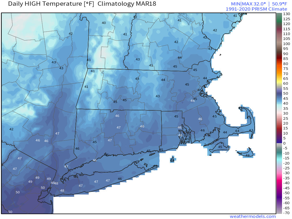
The final weekend of astronomical winter will be a fairly quiet one across the region.

Clouds start to stream into the region tonight ahead of a warm front. A few showers are likely on Friday as the front moves across the region,, but it will be quickly followed by a cold front early Saturday, which may produce a few more showers. We’ll clear out behind the cold front on Saturday, but the colder air will take its time moving in, so we’ll have another mild day, which shouldn’t interfere with any St. Patrick’s Day celebrations. High pressure settles in for latter half the weekend with dry and cooler weather on Sunday, but temperatures will start to moderate for Monday.
Thursday night: Partly cloudy through the evening, clouds increase after midnight. Low 27-34.
Friday: Mostly cloudy and becoming breezy with a few late-day showers. High 47-54.
Friday night: Mostly cloudy, chance for a few showers, mainly during the evening. Low 33-40.
Saturday: A few showers early, then becoming partly sunny, breezy. High 46-53.
Saturday night: Clear to partly cloudy, breezy. Low 22-29.
Sunday: A mix of sun and clouds, windy, and cooler. High 34-41.
Sunday night: Clear skies, breezy. Low 20-27.
Monday: Plenty of sunshine, breezy again. High 42-49.
