Quiet weather is expected for much of the upcoming week once again, but that doesn’t mean the entire week will be storm-free.
We start the week off with a very weak system passing by to the south. It spread some clouds in, with a few rain or snow showers possible across southeastern Massachusetts and the Cape and the Islands this morning. We’ll start to clear out in the afternoon as high pressure starts to build in. Some sunshine and seasonably cool temperatures are expected on Tuesday, and even into Wednesday, but during the Wednesday we’ll see some clouds start to move in as low pressure begins heading toward the Midwest. There’s some disagreement among the models on the evolution of this storm, but at this point, it looks likely to be mainly a rainstorm around here, with only a little wet snow possible on the front end of the storm across parts of southern New Hampshire. There’s also some disagreement on the timing of the storm, but right now at least, it looks like it’ll be late Thursday into Friday. There’s some disagreement for Saturday as well. Some of the models have a secondary storm move up the cast, possibly bringing in some more rain or snow, others just have an upper-level disturbance move through with some clouds and a few rain or snow showers. We’re going to lean toward the drier scenario for now, but that can obviously change. High pressure builds in for Sunday.

Monday: Morning clouds, maybe a rain or snow shower across Southeastern Massachusetts and the Cape and Islands, clearing in the afternoon. High 36-43.
Monday night: Clear to partly cloudy. Low 23-30.
Tuesday: A mix of sun and clouds. High 34-41.
Tuesday night: Partly cloudy. Low 18-25.
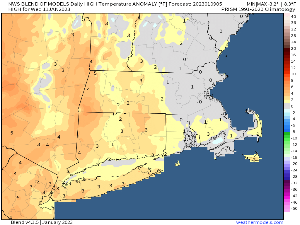
Wednesday: Partly sunny, clouds thicken up late in the day. High 33-40.
Thursday: Cloudy with rain likely late in the day and at night, possibly starting as some wet snow across southern New Hampshire. High 37-44.
Friday: Rain tapers off to showers and ends. High 46-53.
Saturday: More clouds than sun, chance for a rain or snow shower. High 39-46.
Sunday: Partly to mostly sunny. High 32-39.
