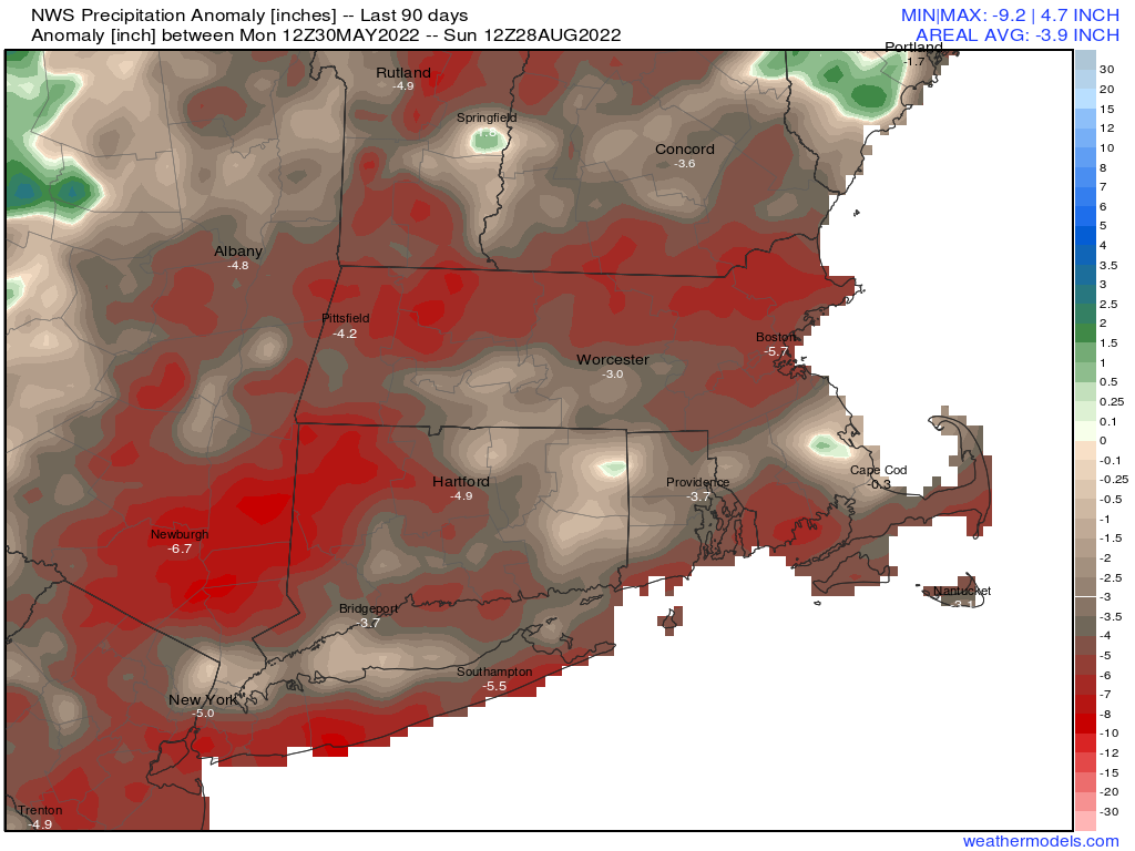
The last few days of August and beginning of September, including Labor Day weekend look to be similar to the rest of the summer, warm and dry for the most part.
The week starts off with high pressure moving offshore, allowing for a sunny, warm, and humid day today. Tuesday looks similar, but we’ll see clouds start to move in as a cold front approaches the region. That front will produce some showers and possibly a thunderstorm Tuesday night into Wednesday morning before it pushes offshore. After that, high pressure builds back in with cooler and drier conditions for later Wednesday into Friday. As the high moves offshore, warmer weather returns for the holiday weekend. Some models show the potential for a cold front to bring in a few showers late Sunday, then cooler weather for Monday. We’re a little skeptical on the showers at this point, but Labor Day does look to be a bit cooler.

Monday: Partly to mostly sunny. High 84-91.
Monday night: Partly cloudy. Low 66-73.
Tuesday: A mix of sun and clouds, humid. High 86-93.
Tuesday night: Mostly cloudy with a few showers possible, maybe a rumble of thunder. Low 66-73.
Wednesday: Any showers end early, then becoming mostly sunny. High 82-89.
Thursday: Plenty of sunshine, drier. High 77-84.
Friday: Wall-to-wall sunshine. High 73-80.
Saturday: Sunshine and some afternoon clouds. High 79-86.
Sunday: A mix of sun and clouds, chance for a few showers late in the day. High 83-90.
Labor Day: Partly sunny and cooler. High 72-79.
