The final weekend of August is shaping up to be a rather nice one weather-wise.
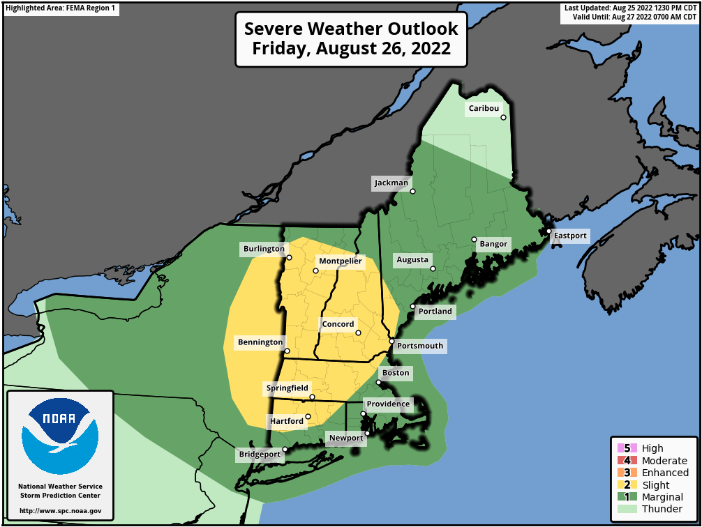
High pressure slides offshore tonight, and a cold front moves toward the region on Friday. Some showers and thunderstorms are expected ahead of the front, and a few of them could be quite strong, but it does not look like a widespread severe outbreak. Some of the storms may produce gusty winds and heavy downpours, but we probably won’t see the amount of rain we had in some of the storms earlier this week. The front moves offshore Friday night, then high pressure builds in for the weekend with dry and seasonably warm conditions. We may start to warm up a bit on Monday along with seeing humidity levels start to rise again as the high slides offshore.
Thursday night: Partly cloudy. Low 63-70.
Friday: Early sun, then clouds move in with showers and thunderstorms developing during the late afternoon. High 84-91. Offshore: South winds 10-15 knots, gusts to 20 knots, seas 2-3 feet, visibility under 1 mile in morning fog, 1-3 miles in late-day showers and thunderstorms,
Friday night: Showers and storms end in the evening, followed by clearing. Low 62-69.
Saturday: Partly to mostly sunny, not as humid. High 77-84, cooler along the coast. Offshore: East winds 5-10 knots, seas 2-4 feet.
Saturday night: Partly cloudy. Low 59-66.
Sunday: Partly to mostly sunny. High 76-83. Offshore: Southwest winds 5-15 knots, seas 2-3 feet.
Sunday night: Partly cloudy. Low 60-67.
Monday: A mix of sun and clouds. High 83-90. Offshore: Southwest winds 5-15 knots, seas 2-3 feet.
