Heat and humidity are here, and there’s not going away for a while.
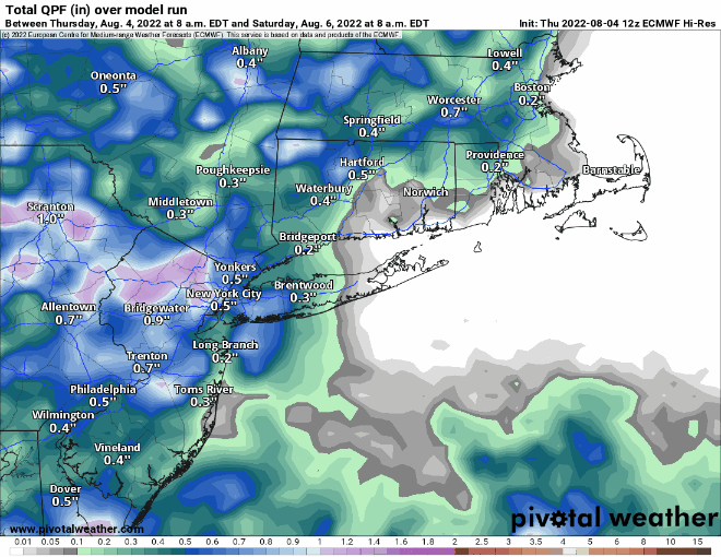
A Bermuda high pressure area will remain anchored off the East Coast for the next several days. It will continue to pump hot and humid air into the region. There will be some relief at times, but overall, we’ll stay hot and humid through at least Monday. A cold front will try to approach on Friday, and it will likely produce some showers and thunderstorms during the afternoon and evening. This will not only provide relief, but also help with our worsening drought. Unfortunately, we need a lot more rain, and this won’t do the trick. That front will essentially dissipate before moving through, so the heat will continue. A few showers and thunderstorms may pop up each afternoon this weekend, but they’ll be widely scattered, so most of us may not see one. Another front approaches on Monday, and this one may have a little more “oomph” to it. It may produce more showers and thunderstorms late in the day, but it likely doesn’t move through until Tuesday.
Thursday night: Clear to partly cloudy. Low 69-76.
Friday: Early sun, then increasing clouds, showers and thunderstorms develop in the afternoon. High 89-96, cooler right at the coast. Offshore: Southwest winds 10-15 knots, seas 2-3 feet, visibility 1-3 miles in showers and thunderstorms.
Friday night: Partly to mostly cloudy, showers taper off in the evening. Low 67-74.
Saturday: Partly sunny, chance for an afternoon shower or thunderstorm. High 85-92. Offshore: Southwest winds 10-15 knots, gusts to 20 knots, seas 2-4 feet, visibility 1-3 miles in showers and thunderstorms.
Saturday night: Clear to partly cloudy. Low 69-76.
Sunday: Sunshine and some afternoon clouds, slight chance for a shower or thunderstorm. High 89-96, cooler right at the coast. Offshore: Southwest winds 10-20 knots, seas 2-4 feet.
Sunday night: Partly to mostly cloudy. Low 69-76.
Monday: Intervals of clouds and sun, showers and thunderstorms develop in the afternoon. High 86-93. Offshore: Southwest winds 10-15 knots, seas 2-4 feet, visibility 1-3 miles in showers and thunderstorms.
