The heat and humidity continue to start the week, but relief is on the way.
High pressure remains in place off the East Coast, which means heat and humidity continue into Tuesday. Temperatures likely top 90 for many areas both days, with very humid conditions likely. There is the possibility of a little relief for the coast of Maine, New Hampshire Seacoast, and possibly northeastern Massachusetts. Some models show the potential for a backdoor cold front to drop down into these areas later today and into tonight, bringing some cooler air in. The front likely doesn’t make it past Cape Ann, and should start to retreat northward before daybreak on Tuesday, but a few hours of relief are possible.
We’ll see some pop-up showers and thunderstorms again this afternoon, but they’ll probably be a bit more widespread on Tuesday as a cold front approaches the region. That front will stall out near or just south of the region for Wednesday into Thursday, allowing cooler air to finally move in, but it will likely remain on the humid side. A wave of low pressure will ride along the front, bringing in some showers and thunderstorms late Wednesday into Thursday. This big question is, where does the front stall out? If it’s near the South Coast, as most of the models show, then we could see some beneficial rainfall finally fall, especially south of the Mass Pike. If it stalls out offshore, then the beneficial rain may be confined to the South Coast. Recent history suggests that the latter scenario is more likely, despite the majority of the models forecasting the former, so even though our forecast is calling for showers and thunderstorms, we’re not expecting either day to be a washout.

The end of the week and the weekend is even trickier. Some models are showing the potential for low pressure to develop off the Mid-Atlantic or Carolina coast and head northward or northeastward, potentially having some impact here. Given the time of year, and the fact that the water off the East Coast is fairly warm, we wouldn’t be shocked if the National Hurricane Center tries to slap a name on this system if it develops, whether it truly is tropical or not. Whether the system is tropical or not (if it even develops) it appears as though we could be in a period of cool and wet weather, or the models could completely change their tune tomorrow and bring the heat and humidity back. They’ve been pretty unreliable beyond 3 days or so, so at this point, we’re going to lean toward a dry forecast, because as the old saying goes “when it drought, leave it out”. That’s why we do a Weekend Outlook on Thursday afternoons, because we’ll be 3 days closer to the weekend and should have a better idea of what is going on.

Speaking of the tropics, it appears as though the Atlantic is starting to awaken, right on time. It’s been 5 weeks since we had “Tropical Storm Colin” (which was really just a big thunderstorm near the Carolina coast, but we digress), and June/July are usually fairly quiet. Activity usually starts to ramp up in August, with the peak of the season coming around September 10. Tropical waves have been rolling off the coast of Africa every few days for the past few weeks, but none of them have amounted to much, as Saharan dust has been inhibiting the thunderstorm development. That appears to be changing. A tropical wave moved off the coast of Africa on Sunday, and even though it is disorganized right now, conditions will be favorable for development over the next few days. As it moves across the Atlantic, it could become a tropical depression toward the middle of this week. If it does develop, chances are that it probably wouldn’t be a strong storm, and it may never be a threat to land. No matter what, we’ll be paying attention and following closely.

Monday: Partly to mostly sunny, breezy, showers and thunderstorms develop in the afternoon. High 90-97.
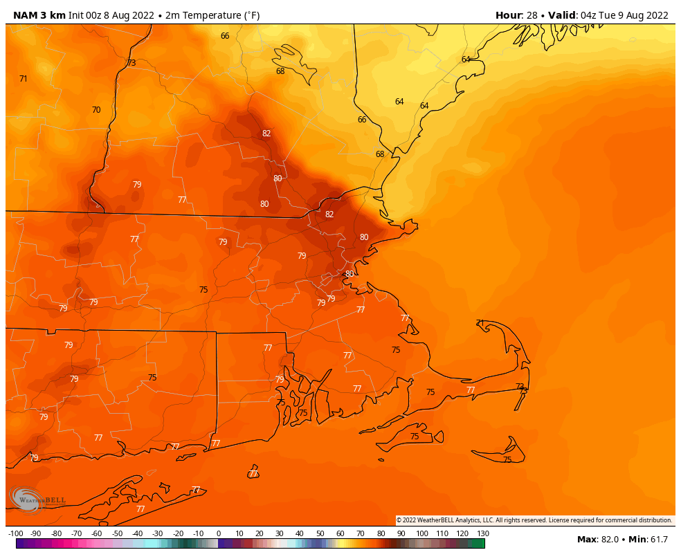
Monday night: Partly cloudy. Low 72-79, possibly cooler along the coast from Cape Ann northward.
Tuesday: Some morning sun, then increasing clouds with showers and thunderstorms likely in the afternoon. High 91-98.
Tuesday night: Partly to mostly cloudy, showers and storms taper off in the evening. Low 64-71.
Wednesday: Plenty of clouds and much cooler with more showers possible during the afternoon and at night. High 76-83.
Thursday: Clouds and some sunny breaks with more showers possible, especially in the morning. High 75-82.
Friday: A mix of sun and clouds. High 74-81.
Saturday: Partly sunny. High 73-80.
Sunday: A mix of sun and clouds. High 75-82.
