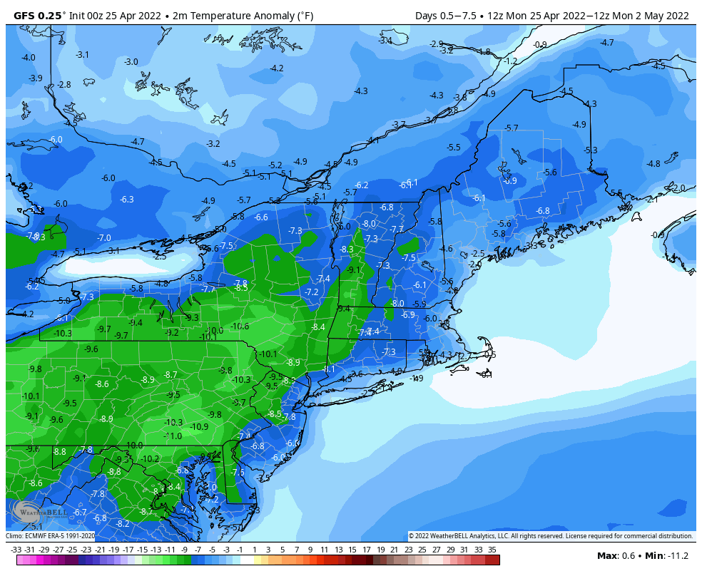
As we enter the final days of April, we’re not looking at a lot of warm weather this week.
Today looks to be the pick of the week with high pressure building in. We’ll have some sunshine, but temperatures will be on the cool side again, especially along the coast thanks to an onshore flow. Clouds start to move in late in the day as a cold front starts to approach the region. That front will bring in some showers later Tuesday into early Wednesday as it moves through and a wave of low pressure rides along it. Once it pushes offshore, an upper-level low pressure area will slowly move across the Northeast, keeping us rather cool with a decent amount of clouds for Thursday and Friday, possibly even lingering into Saturday. By Sunday, high pressure will build back in with milder temperatures returning.
Monday: Partly sunny. High 56-63, a little cooler right at the coast.
Monday night: Becoming mostly cloudy. Low 38-45.
Tuesday: Mostly cloudy with showers developing late in the day. High 57-64.
Tuesday night: Cloudy with showers likely. Low 41-48.
Wednesday: Showers end early, some afternoon sunny breaks may develop. High 53-60.
Thursday: A mix of sun and clouds, breezy. High 49-56.
Friday: Sunshine with afternoon clouds, breezy. High 49-56.
Saturday: Partly sunny. High 50-57.
Sunday: A mix of sun and clouds. High 55-62.
