“April is the cruelest month, breeding lilacs out of the dead land, mixing memory and desire, stirring dull roots with spring rain.” – T.S. Eliot
We had temperatures above 70 on Friday and Saturday, and now there might be snow in the forecast? Ah yes, April can indeed be the cruelest month.
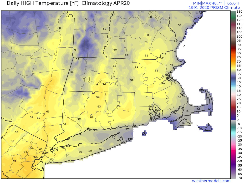
We start the week off on a chilly note with high pressure in control, but with sunshine this morning, temperatures will rise into the 50s this afternoon, which is a few degrees below normal. Clouds will start to stream in this afternoon as low pressure begins to head up the East Coast. We’ll have a period of rain and gusty winds Monday night into Tuesday, but across the interior, especially in the hills from Worcester County into southern New Hampshire, there will likely be some snow, with some accumulations likely. Even at the lower elevations, especially from southern New Hampshire into the Merrimack Valley, we could have some wet snow mix in, but if there’s any accumulation in these areas, it will be very minor and confined to grassy surfaces.

Skies start to clear out Tuesday afternoon as high pressure builds back in, with dry and seasonably cool conditions into Wednesday. We’ll start to warm up again on Thursday ahead of another frontal system, that could bring in a few showers for Thursday night and early Friday. High pressure builds back in for the weekend with mild temperatures for at least Saturday, but Sunday could turn cooler as a backdoor cold front may slide down the coastline.
Monday: Sunny and chilly early, clouds start to filter in and thicken up during the afternoon. High 50-57.
Monday night: Rain developing, mixed with snow across the hills and well inland, breezy. Low 36-43.
Tuesday: Breezy with rain (or snow) ending in the morning, some clearing in the afternoon. High 50-57.
Tuesday night: Becoming mostly clear. Low 34-41.
Wednesday: Mostly sunny and breezy, clouds may start to move back in late in the day. High 51-58.
Thursday: Intervals of clouds and sun, chance for a few showers at night. High 55-62.
Friday: Chance for a shower early, then becoming partly to mostly sunny and milder. High 61-68.
Saturday: Sunshine and a few clouds. High 56-63.
Sunday: A mix of sun and clouds. High 53-60.
