Fall is the season of change, and changes are coming this weekend in terms of the weather.
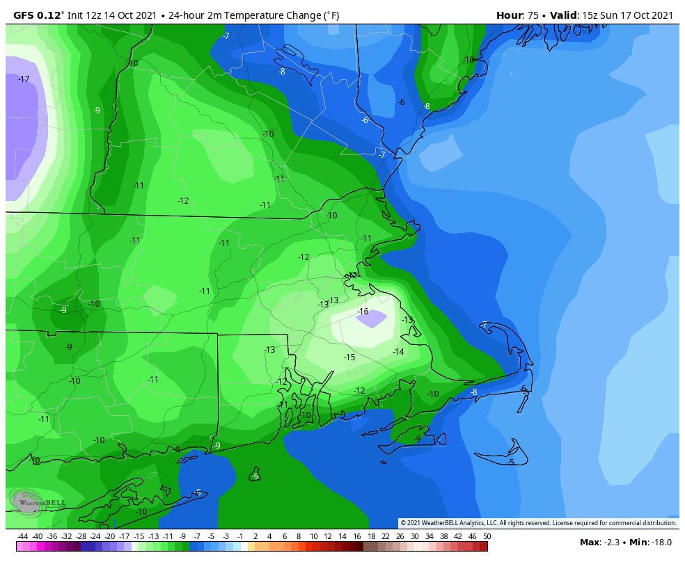
High pressure remains in control into Friday with another warm day expected under partly sunny skies. However, a strong cold front is marching eastward, and it will arrive on Saturday. Ahead of it, a warm front will move through Friday night, perhaps accompanied by a few showers. Saturday will be breezy and warm, but we’ll have plenty of clouds, with showers developing by late afternoon. Showers and some thunderstorms are likely through the evening, but should end before daybreak Sunday as the cold front finally crosses the region. Behind the front, breezy and much cooler conditions are likely for Sunday and Monday. While it will feel almost chilly at times, these temperatures will be right around normal for mid-October. Both Sunday and Monday will feature some sunshine, but with an upper-level disturbance moving through, we’ll have clouds developing, and just a slight chance for a shower each afternoon.
Thursday night: Partly to mostly cloudy. Low 53-60.
Friday: Intervals of clouds and sun. High 68-75, possibly a little cooler along the coast.
Friday night: Plenty of clouds, chance for a few showers. Low 57-64.
Saturday: A few sunny breaks, mainly early, but generally cloudy and breezy with showers possible late in the day. High 69-76.
Saturday night: Scattered showers, possibly some thunder as well. Low 49-56.
Sunday: Any lingering showers end early, otherwise a mix of sun and clouds, breezy, slight chance for an afternoon shower. High 60-67.
Sunday night: Clear to partly cloudy. Low 42-49.
Monday: Partly sunny, chance for an afternoon shower. High 54-61.
