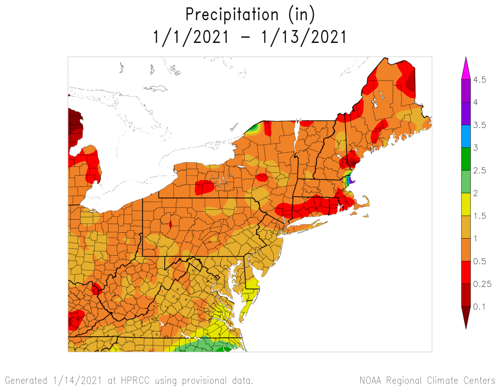
Our extended stretch of dry weather is nearing an end, with some rain on the way.
The system that brought in some rain and snow showers earlier today is pulling away and we’ll have some clearing tonight. However, it won’t last too long, as clouds will stream back in on Friday ahead of low pressure moving into the Great Lakes. This is the same system that produced heavy rain and strong winds in the Pacific Northwest a few days ago, and strong winds across the Plains and Rockies last night and today. Around here, the biggest threat will be rainfall.
The system will move into the Midwest on Friday, sending a front well ahead of it towards the East Coast. A secondary area of low pressure will develop along the front in the Mid-Atlantic states and head northward along the front. This will bring rain into the region Friday night into Saturday, some of which could be heavy. We could see a little snow to start, especially across the higher elevations from central Massachusetts into southwestern New Hampshire, but temperatures should be mild, especially on Saturday as a warm front moves through. How far north the warm front gets is still a bit of a question, but it looks like most of our area should get into the mild air, with temperatures well into the 40s Saturday morning and early afternoon, possibly topping 50 in spots. While it will still be breezy, especially along the South Coast behind the warm front, the strongest winds will likely be on Sunday, behind a cold front.

The rain ends Saturday afternoon with the passage of that cold front, but skies probably won’t completely clear. High pressure will try to build in at the surface, but an upper-level low pressure system will make its way eastward, crossing our area later Sunday into Monday. This will keep plenty of clouds around, but with drier air moving in, only a few rain or snow showers are possible, mainly on Monday.
Thursday night: Becoming partly cloudy. Low 24-31.
Friday: Some morning sun, then clouds return. High 37-44.
Friday night: Cloudy and becoming breezy with showers developing, possibly some wet snow from the hills of Worcester County into the Monadnocks of southwestern New Hampshire. Low 30-37 during the evening, then temperatures rise after midnight.
Saturday: Cloudy and windy in the morning with rain likely, possibly heavy at times, ending in the afternoon, possibly followed by some late-day clearing. High 44-51.
Saturday night: Becoming partly cloudy and breezy. Low 27-34.
Sunday: Partly sunny and breezy. High 37-44.
Sunday night: Partly cloudy. Low 23-30.
Monday: Intervals of sun and clouds, still breezy, slight chance for a sprinkle or a flurry. High 34-41.
