We’ll have a little bit of everything in the next few days, warm temperatures, high humidity, low humidity, thunderstorms, and maybe a tropical system.
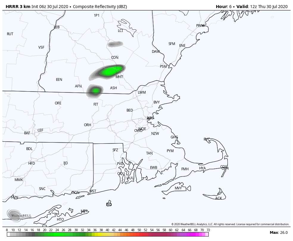
A cold front will slowly cross the region today, with warm and humid conditions ahead of it. The front may trigger a few showers and thunderstorms, somke of which could contain gusty winds and heavy downpours, but widespread severe weather is not expected.
The front may hang up near the South Coast early Friday, otherwise, everyone else should start to clear out with drier air settling in. High pressure builds in for the rest of the day on Friday and into Saturday with seasonably warm temperatures but comfortable humidity levels.
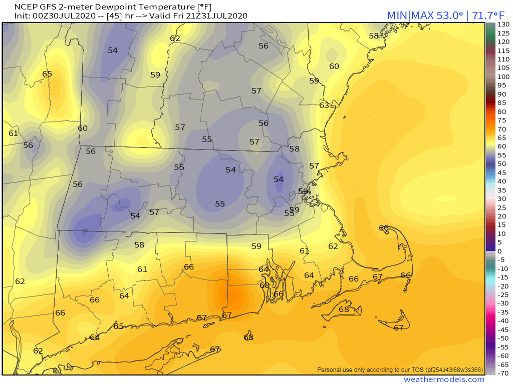
Low pressure starts to move toward the region on Sunday, with a war front bringing in more humid conditions, along with the possibility of some showers and thunderstorms. With some cloud cover it shouldn’t be as hot as recent days, but it will be quite warm.
This sets the stage for Monday, which is a VERY uncertain forecast at this time. We’ll need to keep an eye on what happens with Tropical Storm Isaias. Some models show the potential for the storm or its remnants to move up the coast either Monday or Tuesday. At this point, we really can’t rule out any scenario. It’s still too early to determine what, if any, impact it has up here, but we should start to get a better idea over the next couple of days. We’ll likely have multiple blog posts about Isaias between this evening and this week, so we’ll keep you informed.

Thursday: More clouds than sunshine, chance for some afternoon showers and thunderstorms, mainly south of the Mass Pike. High 85-92.
Thursday night: Showers gradually ending along the South Coast, skies start to clear out north of the Mass Pike. Low 64-71.
Friday: Becoming partly to mostly sunny and less humid. High 81-88.
Friday night: Clear to partly cloudy. Low 63-70.
Saturday: A mix of sun and clouds. High 84-91.
Saturday night: Increasing clouds. Low 63-70.
Sunday: More clouds than sunshine with a chance for showers and thunderstorms. High 80-87.
Sunday night: Partly to mostly cloudy with more showers and thunderstorms possible. Low 67-74.
Monday: Partly sunny with a chance for a hurricane. Plenty of clouds with a chance for showers and thunderstorms. High 84-91.
