We’ve reached the week before Christmas, and the first day of astronomical winter is this week as well, so 2017 is nearly done. Winter officially starts at 11:28am on Thursday, but next weekend, it’s probably not going to feel like winter around here. That doesn’t mean we’re not going to have a White Christmas however.
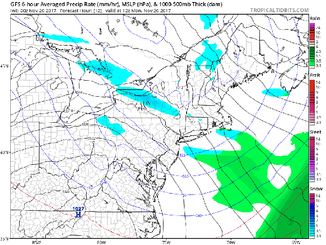
The week starts off with a weak storm system impacting the region. It’s not going to have a lot of precipitation with it, but temperatures will be fairly close to freezing, so the morning commute could be impacted. Right now, it looks like some light snow, mainly less than an inch, could impact areas north and west of Boston for the Monday morning commute. Elsewhere, we’re looking at a little bit of rain. Occasional rain or snow showers are possible during the day, with some freezing drizzle possible, especially across the 495 belt and into southern New Hampshire. So, if you have to drive in these areas during the day, make sure you pay attention to the road conditions and drive carefully.

By Tuesday, we’ll actually turn a bit milder before a cold front crosses the region. That front may bring in a few showers later on Tuesday, then colder air settles in behind the front for Wednesday and Thursday on gusty northwest winds. By Friday, a warm front will approach the region ahead of low pressure moving into the Great Lakes. The warm front may take its time moving through, so temperatures may stay on the cool side, especially north and west of Boston, but the warmer air should finally get in here by Saturday morning, along with some rain. In fact, Saturday afternoon could be quite mild. As the storm passes to our north and west, it drags a cold front across the area, with more seasonable conditions for Christmas Eve.
So, right now, you’re thinking, it’s going to be warm and raining on Saturday, how could we have a White Christmas? Some of the models show another system impacting the region on Christmas Day. However, the models disagree on many of the details. Since it’s still a week away, pinning down any of these details is next to impossible right now, but there are some models that do show some snow for at least parts of the area. Of course, there are other models that have it warm and wet again. So, there’s still a chance for a White Christmas for some of you. We don’t think it’s a good chance, but it’s certainly not zero, especially north and west of Boston.
Monday: Cloudy with some light snow or freezing drizzle north and west of Route 128, a few rain showers elsewhere. High 30-37, perhaps a little warmer in southeastern Massachusetts.
Monday night: Any lingering precipitation ends in the evening, then skies remain partly to mostly cloudy overnight. Low 27-34.
Tuesday: Plenty of clouds with a few showers possible. Becoming windy. High 41-48.
Tuesday night: Clearing, windy. Low 28-35.
Wednesday: A mix of sun and clouds, breezy. High 33-40.
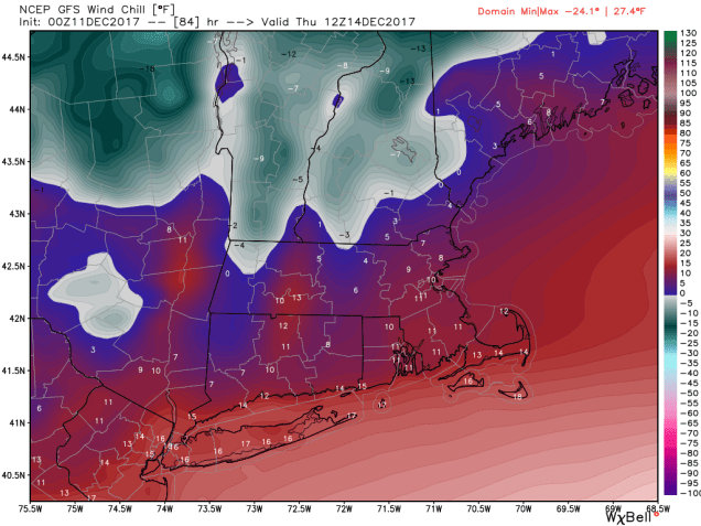
Thursday: Mostly sunny and cold. High 27-34.
Friday: Becoming cloudy and breezy. High 30-37. Temperatures likely rise at night.
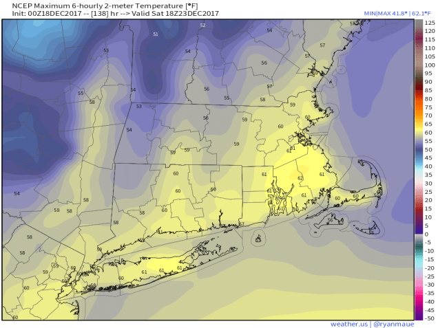
Saturday: Windy with rain likely in the morning, tapering off in the afternoon. High 49-56.
Christmas Eve: Partly sunny. High 41-48.
Christmas Day: Mostly cloudy with a chance of snow or rain. High 35-42.