We’ve actually got a fairly straightforward forecast for much of this week, so we’ll get right to it.
The week starts off with high pressure bringing us sunshine and seasonable temperatures for Monday. A cold front moves through on Tuesday, with some showers and thunderstorms expected. A few of them could be on the strong side, but the bulk of the activity will remain to the north and west of most of the people reading this. Drier weather returns behind the front on Wednesday. Clouds return on Thursday ahead of another system. This is where we get to our question mark of the week – when will it rain?
Some models have the rain come in for Thursday night and Friday, others for Friday into Friday night. The timing of the rain and the cold front will also have implications on the temperatures, especially on Friday. These questions really can’t be answered yet. Things start to improve on Saturday, though another shower can’t be ruled out. High pressure then returns for Sunday.
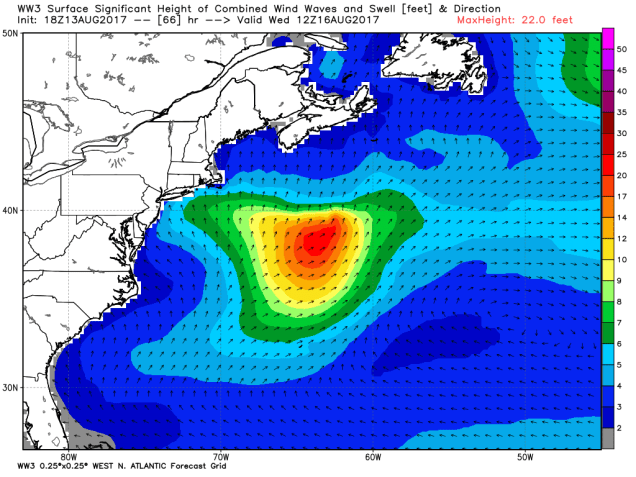
Turning our attention to the tropics, we have Tropical Storm Gert, which is in between the East Coast and Bermuda. Unless you are a boater or are planning a cruise to Bermuda this week, you have nothing to worry about. Gert will strengthen some more, possibly even becoming a hurricane in a day or two. It will head northward, then make a sharp right turn and head out into the open Atlantic without threatening any land areas.

Perhaps you’ve heard rumblings of another system in the Atlantic? Yes, there is a wave that came off of Africa recently, and will be monitored as it makes it’s journey westward. Yes, it’s true that some of the models show it strengthening and possibly even threatening the East Coast. Here’s the thing, and we have mentioned this before. The models suck at predicting these things until they actually form. Even then, they’re not that much better. For example, the GFS model, which is the one that most people look at because it goes out 16 days had the storm that eventually became Gert. As we mentioned earlier, Gert is about halfway between the East Coast and Bermuda, and has a central pressure of 1009mb. If you go back and look at the GFS forecast from 11 days ago, it had Gert this evening centered about 50 miles east of Vero Beach, FL as a Category 5 hurricane with a central pressure of 926 mb. If this were the winter, that’d be the equivalent of a forecast of 4 feet of snow and you actually get sunshine. (We don’t want to hear any snide remarks – our forecasts has never been that bad) We’ll step off of our soapbox now, but please keep in mind, unless there’s actually a storm out there, ignore what the computers and especially the Facebook Forecasters have to say.
Monday: Sunshine and some high clouds. High 79-86.
Monday night: Becoming partly to mostly cloudy. Low 61-68.
Tuesday: Mostly cloudy with a chance of showers and thunderstorms. High 79-86.
Tuesday night: Clearing skies. Low 60-67.
Wednesday: Sunshine and a few clouds. High 80-87.
Thursday: Clouds slowly thicken up throughout the day. High 77-84.
Friday: Cloudy with showers likely. High 72-79.
Saturday: Intervals of clouds and sun, another shower or two possible. High 76-83.
Sunday: Partly to mostly sunny. High 74-81.
