Bond villian Elliot Carver said it in “Tomorrow Never Dies”, but it’s appropriate for the forecast for the next several days – “Let the mayhem begin”
We start off with a developing low pressure system well offshore tonight. The system will continue to strengthen, but also continue to pull away, so it won’t directly impact us. However, it will produce northerly winds around here that will serve two purposes. First, they’ll continue to produce some ocean-effect snow across parts of eastern Massachusetts and the New Hampshire Seacoast, and second, they’ll usher in some of the coldest air thus far this winter.

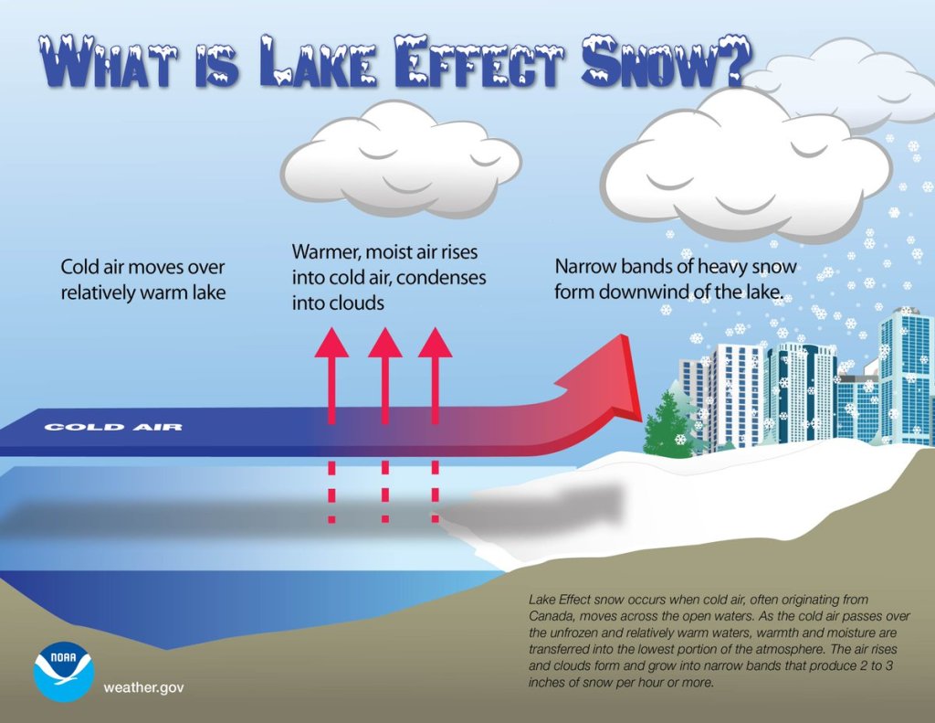
First, we’ll look at the ocean-effect snow. It’s been ongoing since early this morning, and will continue off and on into this evening. While it won’t amount to much for a good chunk of the region, right along the coast, especially Cape Ann, coastal Plymouth County, and Cape Cod, could see an inch or two in spots. On Friday, a disturbance rotating around the ocean storm will bring some more ocean-effect snowfall back into Cape Cod. This could result in additional accumulations, especially across the Outer Cape, where a few inches is possible.

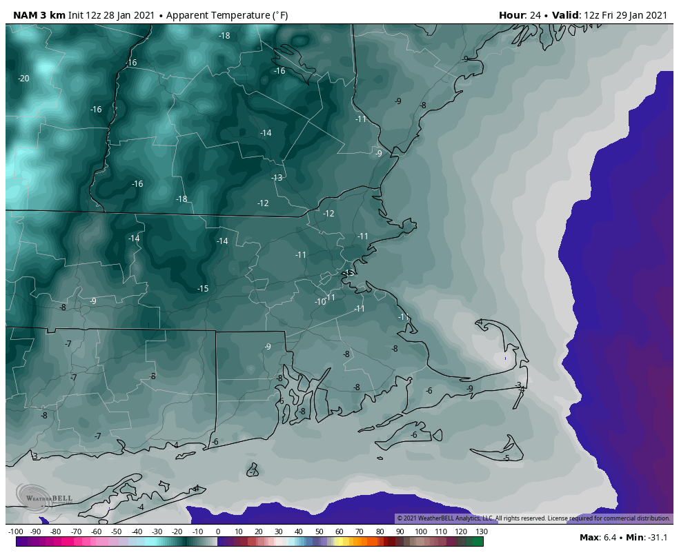
Back to the cold air. This past week has been rather chilly compared to the rest of January, but temperatures have only been near to a little below normal. That’s going to change tonight and this weekend. Skies will start to clear out tonight (except for Cape Cod), and it’s going to get cold. Temperatures will likely drop into the single numbers for much of the region tonight, but it will remain quite breezy, so we’re looking at wind chills of 10 to 20 below zero Friday morning. Wind Chill Advisories have been posted from Worcester County westward, but even without the advisory, you should know enough to dress warmly if you have to go outside.
Friday looks rather chilly as well. Some clouds may move in from the ocean, but even in places where the sun is out, it’ll still be breezy and cold, with daytime highs only in the teens to lower 20s. Skies clear out again Friday night and winds will start to diminish, so we’re looking at another cold night, with some places possibly dropping below zero. Saturday should feature a lot of sunshine, but it will still be cold, with highs only in the upper teens to lower 20s. After another bitterly cold night Saturday night, temperatures should start to moderate a bit on Sunday, but we’ll also see clouds starting to move back in ahead of another storm system heading this way. This brings us to Monday.
For several days now, most of the forecast models have been showing the potential for a storm system to impact the Northeast early next week. They’ve bounced around with the details on strength, timing, and track, but in general, there’s been a fairly strong signal that something is going to happen around here after we flip the calendar to February. Well, that signal hasn’t gone away, and the Universal Hub website has upgraded to a Level 2 on the French Toast Alert System. In other words, don’t worry just yet. However, knowing how the media can be around here, and knowing what the models are showing, we’re issuing our own Extreme Hype Watch. An Extreme Hype Watch is issued when conditions are favorable for media hype of an event to reach extreme levels within the next 48-72 hours. If conditions warrant, a Hype Advisory or Extreme Hype Warning will be issued as the event draws nearer.
As for the system itself, there are still plenty of questions that need to be answered. We’ll have a large high pressure area in eastern Canada keeping some cold air in place. It’s not quite in the ideal position for a big storm here, but it is there. We’ll have a low pressure system moving through the Midwest that will redevelop over the Mid-Atlantic states, then head northeastward, likely passing south and east of New England, close to the “benchmark”. The benchmark is at 40 degrees North latitude and 70 degrees West longitude, about 90 miles south of Nantucket. Storms that pass over that spot are usually (but not always) in a prime position to deliver heavy snow to much of the region. Storms that pass north and west of there usually end up with a rain/snow line farther inland, and storms that pass south and east of there don’t always deliver snow far inland. This is more of a general rule than an absolute, but it’s something we look for. The other issue we have is that an upper-level low pressure area will be moving in, and the storm may get stuck underneath it, which could stall it out or have it meander around south of us for a day or so, which would result in an extended period of precipitation.
In addition to the models, another tool we use is analogs. You will most often hear about these in relation to a seasonal pattern or a hurricane season, but we can also use them for individual storms. Basically, we compare the pattern to previous setups, and see how it compares, and see what those previous setups produced to give us an idea of what is possible. Now, these analogs are run compared to the forecast of one model, so if that model isn’t the one your using, then the analogs might not be of much help. Based on the midday run of that model, the best analog for the pattern early next week is the storm of January 26-28, 2015. You may recall that storm received an extreme amount of media hype, and did produce very heavy snow around here, but was considered a “bust” in New York City, where the actual amounts fell well short of the forecast. It also was the storm that essentially kick-started our 6-week snow blitz (and also was responsible for the formation of the original StormHQ Facebook page). Using the Top 15 analogs for the forecast pattern, here’s the average of snowfall from those 15 systems:

As you can see, there is a signal for a significant snowstorm, which is why we’re going to be monitoring this closely for the next several days. We’re not going to post any model snow forecasts yet because there’s still too much uncertainty. We’ll let the media and Facebook Forecasters take care of that. If conditions warrant, we’ll issue another blog post either Saturday or Sunday as the details become more clear.
Thursday night: Mostly cloudy along the coast with a few snow showers across the Cape, clearing inland, breezy. Low 1-8.
Friday: Intervals of clouds and sun, more snow showers across Cape Cod, windy. High 13-20.
Friday night: Lingering clouds across Cape Cod, clear elsewhere, still breezy during the evening. Low 2-9.
Saturday: Plenty of sunshine, except for some clouds across the Outer Cape. High 16-23.
Saturday night: Clear skies. Low 0-7.
Sunday: High clouds stream in. High 22-29.
Sunday night: Thickening clouds. Low 12-19.
Monday: Cloudy and breezy with a chance of snow (or possibly rain south of Boston) High 30-37.