This is shaping up to be one of those weeks that ages a meteorologist rapidly, since there are not only multiple systems to track, but the bust potential is much higher than normal.
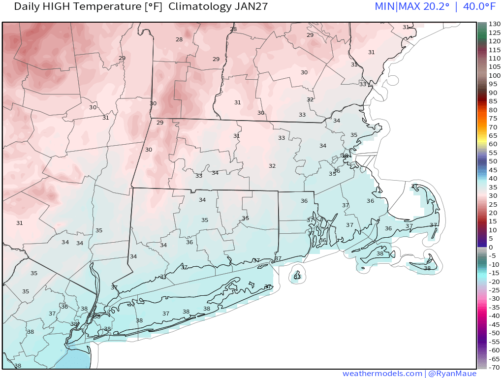
The week starts off rather quietly, with high pressure moving offshore. We’ll still be on the chilly side, but close to normal for late January, and not as cold as the past few days were. Clouds will start streaming in as well, ahead of a storm system moving into the Midwest. This is the first headache of the week.

As that low pressure area moves into the Midwest, a secondary area of low pressure will develop near the Mid-Atlantic states, and will pass offshore to our south later Tuesday. However, some energy from the original system will still move towards us late Tuesday into Wednesday. The bulk of the precipitation from the secondary storm will stay to the south, with some snow showers or flurries possible along the South Coast, possibly as far north as the Mass Pike. What complicates things is the energy from the original storm. Some of the models have that move across the region with another area of snow, and possibly a decent amount. This has been a recent development in the models over the last 24 hours, which makes us skeptical, but many of the models show something similar, so we can’t completely ignore it. Right now, we’re thinking that a period of light snow is likely Tuesday night into early Wednesday, with some accumulations expected. There are some models that show significant accumulations in parts of the region. While that is possible, we don’t think it’s likely at the moment. If that were to change, we’d update the blog later Monday or Tuesday.

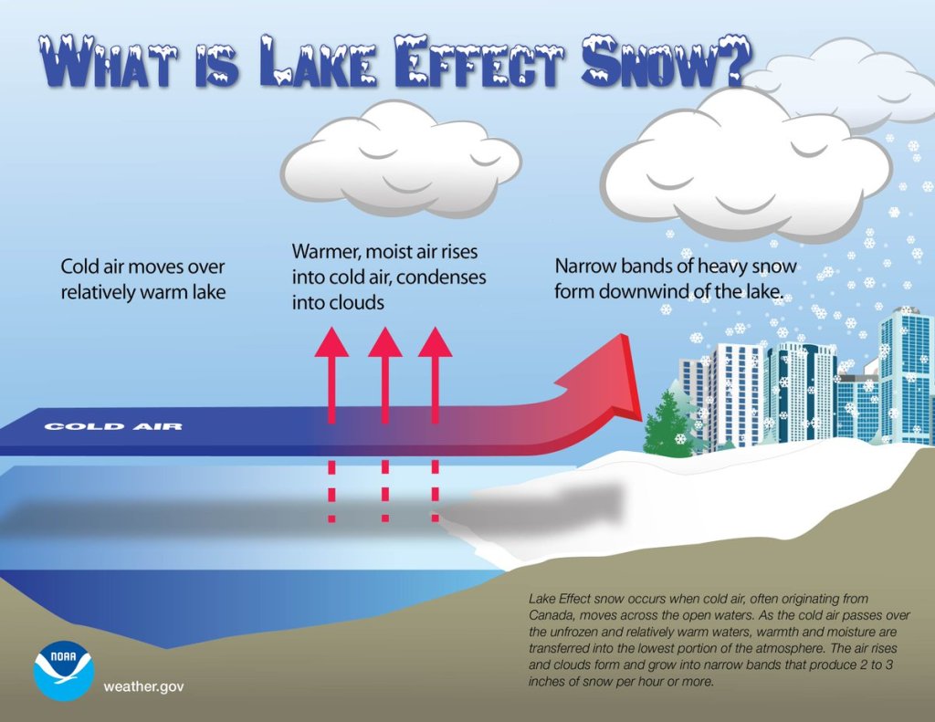
That system pulls away on Wednesday and high pressure builds in. However, with the high building in north of us, we’ll stay chilly, but we’ll also have northeast winds. This may result in some ocean-effect snow in eastern parts of the area, especially Cape Cod, coastal Plymouth County, and Cape Ann. Some persistent snow showers could result in accumulations, possibly several inches, but this far in advance it’s too tough to predict if or where those bands may setup.

Another storm system will head towards the Mid-Atlantic by Thursday, and again, this storm should also pass far enough south to have little direct impact on us. However, unlike the system on Tuesday that will be weakening as it moves this way, this storm will strengthen. In fact, once it moves offshore, it should become a powerful storm over the North Atlantic. It may produce some gusty winds along the coast, especially Cape Cod, and possibly some additional ocean-effect snowfall, but the precipitation shield associated with the storm itself should remain offshore.
Behind that storm, much colder air will settle in for Friday and Saturday. We should finally start to clear out as high pressure builds in, though a few more ocean-effect snow showers are possible, especially across Cape Cod. The more noticeable impact is that it will be very chilly, likely colder than we just experienced this weekend. Daytime highs in the 20s (even some upper teens), and overnight lows in the teens and single-digits seem reasonable right now, with sub-zero wind chills, especially Friday into early Saturday.

This brings us to Sunday, and our next headache. Yet another storm system will be heading for the Mid-Atlantic states, sending clouds our way. With high pressure over southern Quebec, we’ll still be on the cold side. The exact track this storm takes is still a big question mark, but this one doesn’t look like it’ll pass offshore to our south. In fact, several models bring the storm right across southern New England on Monday. We’re not going to get into too many details because it’s a week away, and technically outside the usual range of this forecast, but we’ll just let you know that there is the potential for a decent amount of snow early next week for parts of the region. It’s just potential for now and far from a lock, but the models have been showing this potential for several days now. We’ll get into more details on this one in our Weekend Outlook on Thursday.
Monday: Sunny in the morning, clouds start to move in during the afternoon. High 30-37.
Monday night: Becoming partly to mostly cloudy. Low 17-24.
Tuesday: Cloudy, light snow may develop late in the day. High 29-36.
Tuesday night: Cloudy with light snow likely, possibly mixed with some rain along the south coast. Low 22-29.
Wednesday: Cloudy with light snow likely, mainly north and west of Boston, with snow or rain showers likely from Boston southward. High 32-39.
Thursday: Cloudy and breezy with a chance of snow showers, especially near the east coast. High 31-38.
Friday: Becoming partly to mostly sunny, breezy, and cold, though clouds may linger along the east coast with a few more snow showers possible. High 18-25.
Saturday: Mostly sunny and cold. High 19-26.
Sunday: Becoming mostly cloudy with a chance for snow at night. High 28-35.