Heat and humidity are here for now, but changes are on the way this weekend.
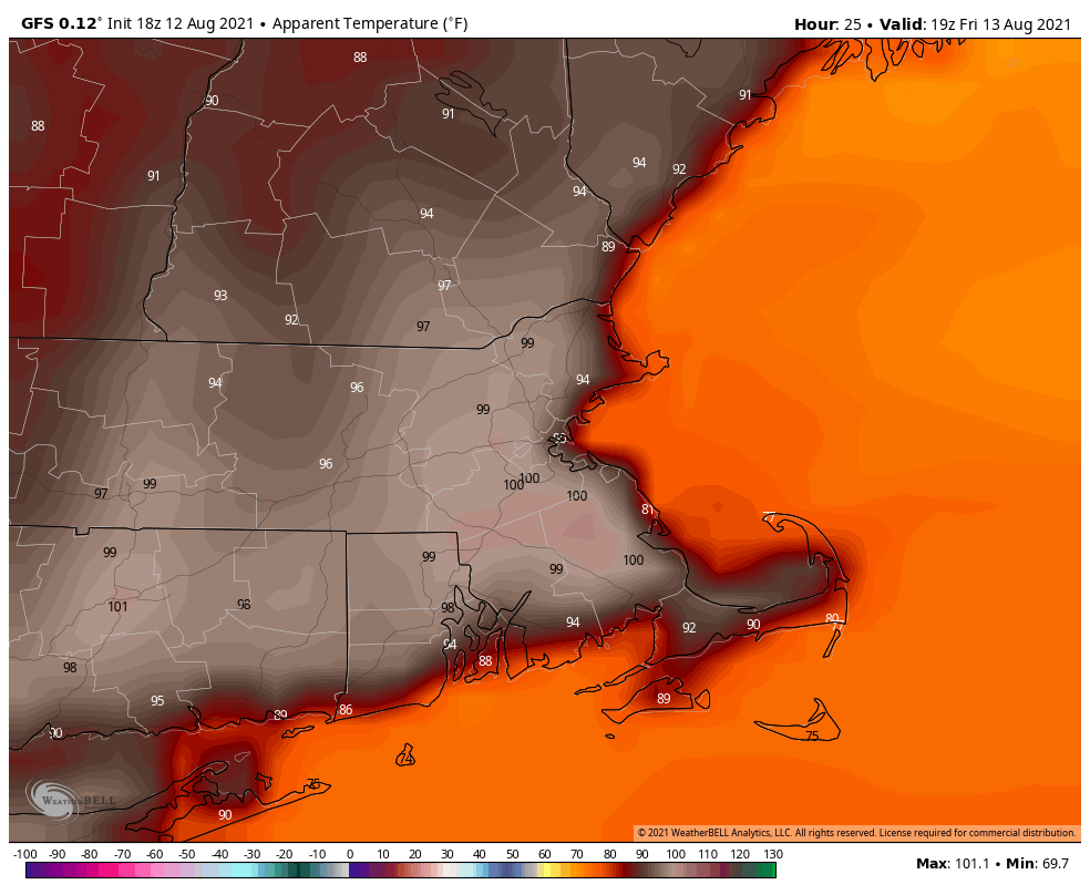
High pressure remains anchored off the East Coast into Friday, which means that another hot and humid day is on the way. A few showers and thunderstorms may pop up to take the edge off the heat, but they’ll be mainly late in the day. A cold front will move in on Saturday though, with more widespread showers and thunderstorms. Behind the front, much drier and cooler air will start to move in late Saturday. High pressure builds in for Sunday and Monday with seasonably warm and dry conditions.
Thursday night: Becoming partly cloudy. Low 69-76.
Friday: Partly to mostly sunny, hot, and humid, a late-day shower or thunderstorm is possible. High 88-95.
Friday night: Partly to mostly cloudy with a few showers or thunderstorms around, mainly during the evening. Low 69-76.
Saturday: Partly sunny, chance for a shower or thunderstorm. High 85-92.
Saturday night: Clear skies. Low 60-67.
Sunday: Sunshine and a few clouds, not as humid. High 77-84.
Sunday night: Clear to partly cloudy. Low 55-62.
Monday: Partly to mostly sunny. High 77-84.
