Astronomical Spring officially begins Saturday morning at 5:37am, but it’s going to feel likely winter for a couple more days.

Most of this week will be fairly dry, as today will be with high pressure building in. Today will also be quite cold, with many places likely not reaching the 30-degree mark. Add in a little wind, especially this morning, and it definitely won’t feel like mid-March, with wind chills in the single numbers and teens. As the high slides off to the east, temperatures will start to moderate a bit on Tuesday, but it will remain on the chilly side. Clouds will also start to move back in ahead of a weak low pressure system. That system will pass to sour south Tuesday night and Wednesday, but may produce a few snow showers, especially near the South Coast. We’re not expecting anything to accumulate, and for the bulk of the region, we’re not expecting much, if anything, to even fall from the clouds.

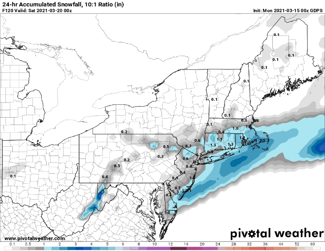
We’ll see some sunshine return on Wednesday to parts of the area along with temperatures continuing to moderate. However, the next system moves in for Thursday into Friday. This one doesn’t look as weak or as far south, but temperatures will be a bit milder to start. We could see some rain or snow showers, especially Thursday night into Friday morning, especially south of the Mass Pike, but again, this does not look like a big deal. Colder weather will settle in on Friday as the system pulls away, but temperatures will moderate again over the weekend thanks to high pressure building back in.
Monday: Partly to mostly sunny and breezy, especially in the morning. High 23-30.
Monday night: Clear to partly cloudy. Low 9-16.
Tuesday: Early sun, then thickening clouds. High 34-41.
Tuesday night: Partly to mostly cloudy with some snow showers possible, mainly south of the Mass Pike. Low 23-30.
Wednesday: Mostly cloudy, some sunny breaks are possible across southern New Hampshire. High 43-50.
Thursday: Plenty of clouds with some showers possible, maybe mixing with snow at night. High 49-56.
Friday: Mostly cloudy, breezy, and colder, with a chance of snow showers. High 33-40.
Saturday: A few clouds early, otherwise mostly sunny. High 42-49.
Sunday: Lots of sunshine, milder. High 47-54.
