Things you won’t need this week: Snow shovels, heavy winter coats. Things you will need this week: Sunglasses, lighter jackets, short-sleeve shirts. Yup, warmer weather is finally on the way.
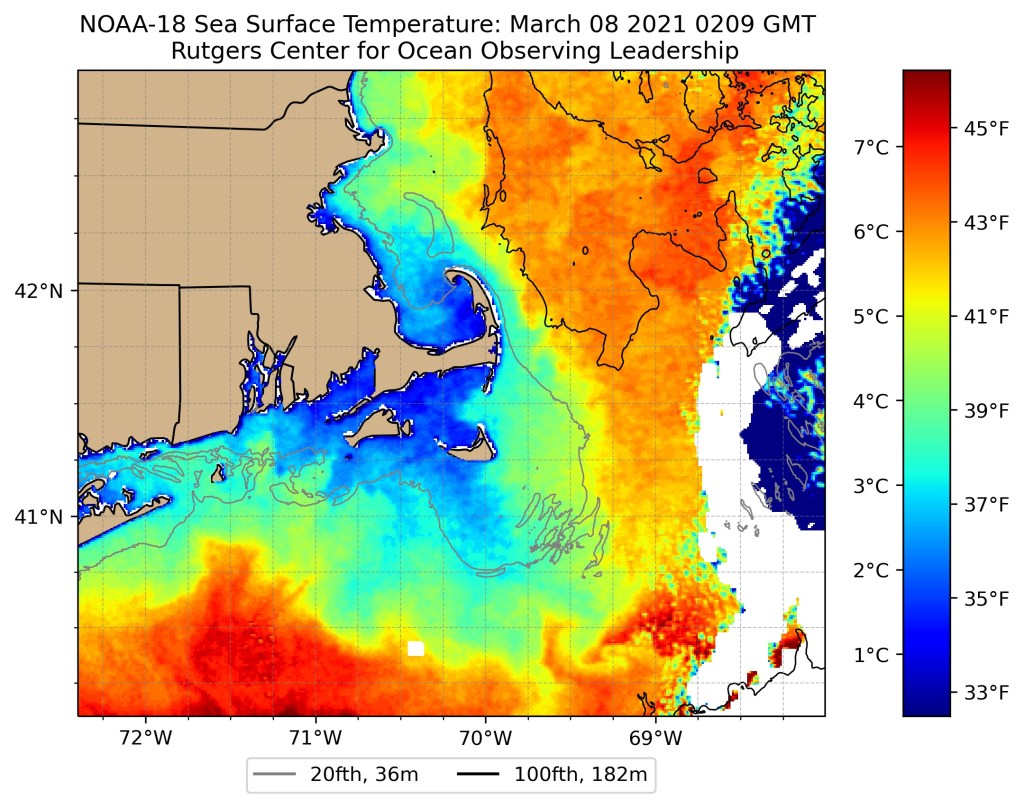
High pressure settles off the East Coast this week, and that means southwesterly winds pumping milder air into the region. Of course, if you are in a place where a southwest wind is coming off the water, like the South Coast, Cape Cod, or Cape Ann, then it won’t be quite as warm, since the ocean is still pretty chilly. However, it will be sunny for the most part into Thursday. (daytime only, it’ll still be dark at night) The exception will be Monday night and early Tuesday, when a weak disturbance passes by to the north, bringing in some clouds, and possibly a few rain or snow showers in the morning.
Temperatures will gradually warm up each day this week, with temperatures getting to above to well above normal levels for the second half of the week, with many places likely topping 60 for a couple of days, and a few 70-degree readings aren’t out of the question, especially Thursday and Friday.

By later on Thursday, clouds will start moving in ahead of a cold front. This front may produce a few showers as it moves through on Friday. How warm it gets on Friday will be determined by when the front comes through. If it holds off until late in the day, we could see temperatures well into the 60s again despite cloud cover, with some 70-degree readings possible.

Behind the front, temperatures return to normal or even below normal next weekend as high pressure starts to build back in. While some models bring the cold weather back with sunshine, at least one model has the front stall just south of New England, and has a wave of low pressure ride along it. This would keep clouds in place for the weekend along with the risk for some rain or snow showers. We’re going to lean on the drier side for now, but can’t completely rule out a cloudier scenario.
Also, just a reminder, Daylight Saving Time begins next Sunday morning at 2am. So, you lose an hour of sleep Saturday night, but sunset won’t be until almost 7:00pm Sunday evening.

Monday: Sunshine and a few clouds. High 34-41.
Monday night: Mostly cloudy, chance for a few flurries late at night. Low 21-28.
Tuesday: A morning snow or rain shower is possible, then becoming partly sunny and breezy. High 48-55.
Tuesday night: Clear to partly cloudy. Low 23-30.
Wednesday: Mostly sunny. High 54-61, cooler right at the coast.
Thursday: A mix of sun and clouds, breezy, and mild. High 60-67, cooler right at the coast.
Friday: Mostly cloudy and breezy, chance for a few showers. High 63-70, cooler right at the coast.
Saturday: Morning clouds, then clearing, breezy, and cooler in the afternoon. High 42-49.
Sunday: Mostly sunny, breezy, and colder. High 33-40.
