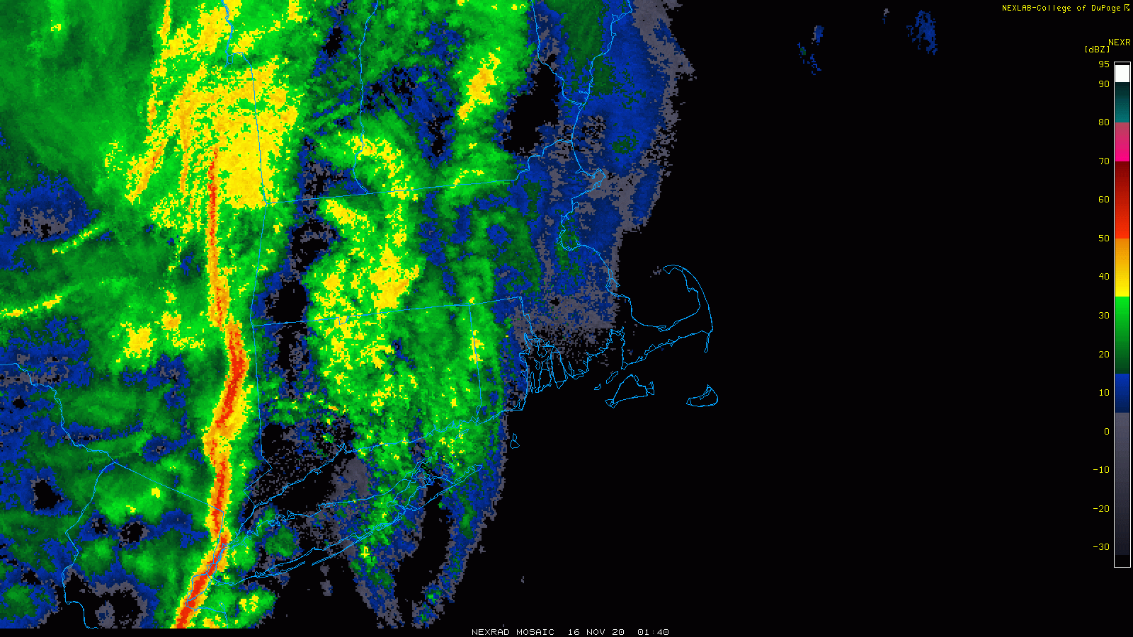
After last night’s squall line, conditions will be significantly quieter for most of this week.
High pressure builds into the region today with breezy and cooler conditions as a cold front continues to push offshore. We’ll have some clouds popping up in the afternoon as cooler air moves in aloft, but we should remain dry. Another cold front will move through late Tuesday. This one may produce a few rain or snow showers, but for most of us it will pass through with little fanfare.
Behind that front, much colder air will settle in for Wednesday. Temperatures likely won’t reach 40, with wind chills in the 20s or even upper teens. As winds die down Wednesday night, low temperatures will drop into the teens across much of the region. Thursday will still be chilly, but with high pressure sliding offshore, temperatures will start to moderate a bit. The moderating trend continues into the weekend, as temperatures climb back above normal for the latter half of November.

Monday: Sunshine and some afternoon clouds, breezy. High 45-52.
Monday night: Clear skies. Low 29-36.
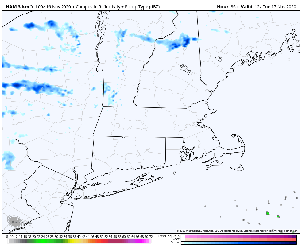
Tuesday: Intervals of clouds and sunshine, chance for a late-day rain or snow shower. High 40-47.
Tuesday night: Clearing, colder. Low 21-28.
Wednesday: Mostly sunny, breezy, and chilly. High 29-36.
Thursday: Partly sunny, breezy. High 39-46.
Friday: A mix of sun and clouds. High 52-59.
Saturday: Partly sunny. High 51-58.
Sunday: Intervals of clouds and sun. High 49-56.
